
YANCEY COUNTY GOVERNMENT:
https://yanceycountync.gov/
COUNTY SEAT: Burnsville
FORMED: 1833
FORMED FROM: Burke, Buncombe
LAND AREA: 312.60 square miles
2020 POPULATION ESTIMATE: 18,470
White: 96.4%
Black/African American: 1.1%
American Indian: 0.8%
Asian: 0.3%
Pacific Islander: 0.3%
Two or more races: 1.1%
Hispanic/Latino: 5.5% (of any race)
From State & County QuickFacts, US Census Bureau, 2020.
CONGRESSIONAL DISTRICT: 11TH
BIOGRAPHIES FOR![]()
Yancey County
 WILDLIFE PROFILES FOR
Mountain region
GEOGRAPHIC INFORMATION
REGION: Mountain
RIVER BASIN: French Broad, Map
NEIGHBORING COUNTIES: Buncombe, Madison, McDowell, Mitchell
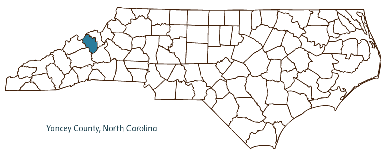
Yancey County, located in the Mountain region of North Carolina and partially bordering the state of Tennessee, was formed in 1833 from Burke and Buncombe Counties and named for Bartlett Yancey, U.S. congressman from 1813 to 1817. Its county seat, Burnsville, was also established in 1833 and named for Otway Burns, a privateer in the War of 1812 and later a member of the General Assembly, who, though a native of Onslow County, supported equal political representation for the western part of the state. Other Yancey County communities include Bald Creek, Busick, Celo, Day Brook, Green Mountain, Hamrick, Micaville, Murchison, Pensacola, Ramseytown, Sioux, and Swiss.
Like other mountain counties, Yancey County was inhabited before European settlement by Cherokee Indians; in 1989 remains of a prehistoric Indian village and burial ground were uncovered in Burnsville on the campus of Cane River Middle School. English, Scotch-Irish, and Irish immigrants were the first Europeans to settle in the county's valleys, creating small farms and agricultural communities that persisted through the nineteenth and twentieth centuries. Since the early twentieth century, the county's primary crop has been burley tobacco, air-cured in barns that are one of the region's architectural hallmarks. Development of the Black Mountain Railroad (later the Yancey Railroad) fostered the mining industry in the county after 1911; Micaville, near the county's eastern border, was an important twentieth-century center for the mica industry. The completion of the Blue Ridge Parkway, which runs along the county's southern border, and the improvement of other highways, brought increased tourism in the twentieth century as well, and today the county is a popular destination for hiking, camping, and other outdoor recreation.
Yancey County is perhaps best known as the home of Mount Mitchell, which at 6,684 feet is the highest peak east of the Mississippi River. The mountain is named for University of North Carolina professor Elisha Mitchell, who died in his attempt to establish its elevation and is buried at its peak. In 1915 Mount Mitchell State Park became North Carolina's first state park. Overall, the county boasts five of the ten highest peaks in the eastern United States in the Black Mountains, regarded as some of the oldest on earth. Yancey County has the highest average elevation of any county in the state. Significant portions of the Pisgah National Forest are located in the county. Yancey County's estimated population was 18,000 in 2004.
Annotated history of Yancey County's formation:
For an annotated history of the county's formation, with the laws affecting the county, boundary lines and changes, and other origin information, visit these references in The Formation of the North Carolina Counties (Corbitt, 2000), available online at North Carolina Digital Collections (note, there may be additional items of interest for the county not listed here):
County formation history: https://digital.ncdcr.gov/Documents/Detail/the-formation-of-the-north-ca...
Index entry for the county: https://digital.ncdcr.gov/Documents/Detail/the-formation-of-the-north-ca...
Additional resources:
Corbitt, David Leroy. The Formation of the North Carolina Counties, 1663-1943. Raleigh: Division of Archives and History, North Carolina Department of Cultural Resources, 1987. https://digital.ncdcr.gov/Documents/Detail/the-formation-of-the-north-carolina-counties-1663-1943/3692099?item=4553233 (accessed June 20, 2017).
Yancey County Government. "Yancy County, North Carolina." https://yanceycountync.gov/ (accessed February 15, 2019).
Yancey County Chamber of Commerce. "Burnsville-Yancey Chamber of Commerce: Home of Mount Mitchell." https://www.yanceychamber.com/ (accessed February 15, 2019).
DigitalNC. "Yancey County." North Carolina Digital Heritage Center. https://www.digitalnc.org/counties/yancey-county/ (accessed February 15, 2019).
North Carolina Digital Collections. "Explore by ... [place, time period, format]." North Carolina Department of Natural and Cultural Resources. https://digital.ncdcr.gov (accessed February 15, 2019).
Image credits:
Rudersdorf, Amy. "NC County Maps." Raleigh: Government & Heritage Library, State Library of North Carolina, 2010.
1 January 2006 | Bangma, Peter