
CHEROKEE COUNTY GOVERNMENT:
https://www.cherokeecounty-nc.gov//
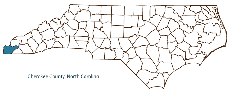
COUNTY SEAT: Murphy
LAND AREA: 455.43 square miles
FORMED: 1839
FORMED FROM: Macon
2020 POPULATION ESTIMATE: 28,774
White: 93.6%
Black/African American: 1.6%
American Indian: 1.6%
Asian: 0.7%
Pacific Islander: 0.1%
Two or more races: 2.5%
Hispanic/Latino: 3.3% (of any race)
From State & County QuickFacts, US Census Bureau, 2020.
CONGRESSIONAL DISTRICT: 11TH
BIOGRAPHIES FOR![]()
Cherokee County
 WILDLIFE PROFILES FOR
Mountain region
GEOGRAPHIC INFORMATION
REGION: Mountain
RIVER BASIN: Hiwassee; Little Tennessee, Map
NEIGHBORING COUNTIES: Clay, Graham, Macon
Cherokee County, located in the Mountain region of North Carolina and partially bordering the states of Tennessee and Georgia, is the state's westernmost county. It was formed in 1839 from Macon County and named for the Cherokee Indians who inhabited its lands before European settlement by Scotch-Irish, English, and German immigrants. Murphy, the county seat, was incorporated in 1851 and named for Archibald D. Murphey, one of North Carolina's most progressive political leaders, an advocate for internal improvements and other reform initiatives. Cherokee County's land includes large portions of the Nantahala National Forest, punctuated by the centrally located and enormous reservoir, Lake Hiwassee. This body of water was created by a Tennessee Valley Authority project, which constructed Hiwassee Dam between 1936 and 1940.
Cherokee County farms produce grains, tobacco, corn, soybeans, hay, swine, beef and dairy cattle, and chickens. Manufactured products include apparel, truck brakes, furniture, fertilizers, and textiles.
Cherokee County attractions include the Fields of the Wood, the assembly grounds for the Church of God of Prophecy featuring the world's largest Ten Commandments, written in concrete letters on the side of a mountain. Cultural institutions include the Cherokee County Museum and Cherokee County Arts and Historical Council. The county hosts a number of festivals and annual events, such as the Nation's Oldest Wagon Train on the Fourth of July, the Folk School Fall Festival, and Great Smoky National Railway excursion trips. Cherokee County had an estimated population of 25,600 in 2004.
Annotated history of Cherokee County's formation:
For an annotated history of the county's formation, with the laws affecting the county, boundary lines and changes, and other origin information, visit these references in The Formation of the North Carolina Counties (Corbitt, 2000), available online at North Carolina Digital Collections (note, there may be additional items of interest for the county not listed here):
County formation history: https://digital.ncdcr.gov/Documents/Detail/the-formation-of-the-north-ca...
Index entry for the county: https://digital.ncdcr.gov/Documents/Detail/the-formation-of-the-north-ca...
References:
Alice D. White and Nell A. White, Heritage of Cherokee County, North Carolina (2 vols., 1987).
Michael Ann Williams, Marble and Log: The History and Architecture of Cherokee County (1984).
Additional resources:
Corbitt, David Leroy. 2000. The formation of the North Carolina counties, 1663-1943. https://digital.ncdcr.gov/Documents/Detail/the-formation-of-the-north-carolina-counties-1663-1943/3692099?item=4553233 (accessed June 20, 2017).
Cherokee County Government: https://www.cherokeecounty-nc.gov//
Cherokee County Chamber of Commerce: https://www.cherokeecountychamber.com/
DigitalNC, Cherokee County: https://www.digitalnc.org/counties/cherokee-county/
North Carolina Digital Collections (explore by place, time period, format): https://digital.ncdcr.gov
Image credits:
Rudersdorf, Amy. 2010. "NC County Maps." Government & Heritage Library, State Library of North Carolina.
1 January 2006 | Mazzocchi, Jay