
ASHE COUNTY GOVERNMENT:
https://www.ashecountygov.com/
COUNTY SEAT: Jefferson
FORMED: 1799
FORMED FROM: Wilkes
LAND AREA: 426.14 square miles
2020 POPULATION ESTIMATE: 26,577
White: 96.9%
Black/African American: 1.0%
American Indian: 0.4%
Asian: 0.5%
Pacific Islander: 0.1%
Two or more races: 1.2%
Hispanic/Latino: 5.1% (of any race)
From State & County QuickFacts, US Census Bureau, 2020.
CONGRESSIONAL DISTRICT: 5TH
BIOGRAPHIES FOR ![]()
Ashe County
 WILDLIFE PROFILES FOR
Mountain region
GEOGRAPHIC INFORMATION
REGION: Mountain
RIVER BASIN: New River, Map
NEIGHBORING COUNTIES: Alleghany, Watauga, Wilkes
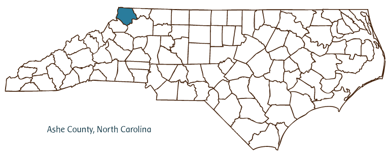
Ashe County is located in the northwestern corner of North Carolina, bordered by Tennessee and Virginia. Nestled in the Appalachian Mountains, the county was formed in 1799 from portions of Wilkes County and named for Samuel Ashe, governor of North Carolina from 1795 to 1798. Its county seat, Jefferson, was founded in 1803 and named for President Thomas Jefferson. Other communities in the county include West Jefferson, Lansing, Todd, and Glendale Springs.
From 1784 to 1790, the region including Ashe County was part of the State of Franklin, an autonomous area formed by mountain settlers in present-day western North Carolina and eastern Tennessee under the leadership of John Sevier. Violent disputes with neighboring Cherokee and other Indian groups led the region's whites to seek protection from North Carolina and its state militia, which led to the county's formation. It remained lightly populated through the nineteenth century, with small farming communities located along the New River and in neighboring valleys. Copper and iron were found in the area in the late nineteenth century, and for a brief time the copper mine at Ore Knob was the largest producer of that metal in the United States. Dairy production increased in the early twentieth century as woodlands were converted to pasture, and today Ashe County is known for its cheese production. Corn, tobacco, cattle, and poultry remain important agricultural products, and the county is also home to some 600 Christmas tree farms. Manufactures include lumber, furniture, textiles and clothing, and rubber products. Small businesses in the county also produce a significant number of ambulances and small delivery trucks by building on existing truck chassis.
At the end of the twentieth century, tourism was an increasingly important force in the county. Land development along the Blue Ridge Parkway, which skirts the county's southeastern edge, and around the towns of Jefferson and West Jefferson brought economic growth and change as an increasing number of people built second homes in the county or moved there permanently for the mountain lifestyle. Ashe County had an estimated population of 25,000 in 2004.
The county is home to New River State Park, a well-known destination for paddling, and Mount Jefferson State Natural Area, which offers excellent opportunities for hiking and other outdoor activities. Many artists and traditional craftspeople live and work in Ashe County, and frescoes by well-known North Carolina artist Ben Long adorn Episcopal churches near West Jefferson and Glendale Springs. Each August, mountain music traditions are celebrated at the Ashe County Old Time Fiddler's Convention. The region's fiddle and banjo music can also be enjoyed at the weekly Mountain Music Jamboree in Glendale Springs and at impromptu jams and gatherings elsewhere in the county.
Annotated history of Ashe County's formation:
For an annotated history of the county's formation, with the laws affecting the county, boundary lines and changes, and other origin information, visit these references in The Formation of the North Carolina Counties (Corbitt, 2000), available online at North Carolina Digital Collections (note, there may be additional items of interest for the county not listed here):
County formation history: https://digital.ncdcr.gov/Documents/Detail/the-formation-of-the-north-ca...
Index entry for the county: https://digital.ncdcr.gov/Documents/Detail/the-formation-of-the-north-ca...
Additional resources:
Corbitt, David Leroy. 2000. The formation of the North Carolina counties, 1663-1943. https://digital.ncdcr.gov/Documents/Detail/the-formation-of-the-north-carolina-counties-1663-1943/3692099?item=4553233 (accessed June 20, 2017).
Ashe County Government: https://www.ashecountygov.com/
Ashe County Chamber of Commerce: https://ashechamber.com/
DigitalNC, Ashe County: https://www.digitalnc.org/counties/ashe-county/
North Carolina Digital Collections (explore by place, time period, format): https://digital.ncdcr.gov
Image credits:
Rudersdorf, Amy. 2010. "NC County Maps." Government & Heritage Library, State Library of North Carolina.
1 January 2006 | Bangma, Peter