Granville County Resources
- View All:
- Biographies
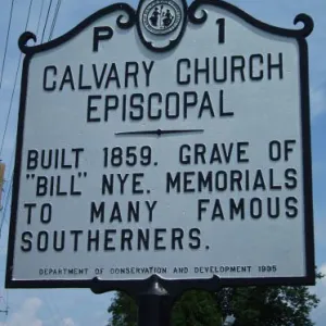
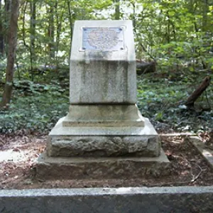
- Monuments
- locations
ANCHOR (A North Carolina History Online Resource) is now its own website!
Copyright Notice: This article is from the Encyclopedia of North Carolina edited by William S. Powell. Copyright © 2006 by the University of North Carolina Press. Used by permission of the publisher. For personal use and not for further distribution. Please submit permission requests for other use directly to the publisher.
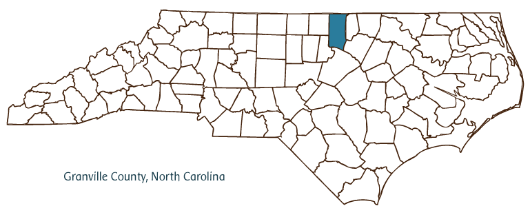
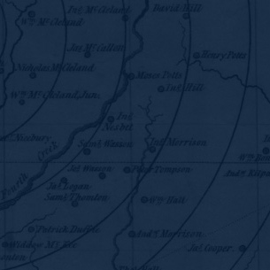
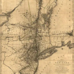
Granville County, located in the Piedmont region of north central North Carolina and partially bordered by the state of Virginia, was formed in 1746 from Edgecombe County. It was named for John Lord Carteret, second Earl Granville, who was granted the land of the Granville District by King George II. The county reached its present dimensions after being divided in 1752, 1764, and 1881 to form parts of Orange, Bute (no longer extant), and Vance Counties, respectively. Oxford is the county seat, having succeeded Granville Court House in that capacity in 1811. Other communities in Granville County include Butner, Creedmoor, Stem, and Stovall.
Tuscarora and Saponi Indians dominated the many tribes that once inhabited Granville County. Settlers, mostly from Virginia, began to occupy the area after the Tuscarora War of 1711-13. Agriculture, particularly the production of tobacco using slave labor, drove the early economy of Granville County, which, during slavery's peak in the mid-nineteenth century, was one of a handful of North Carolina counties with as many as 10,000 slaves. The county also had a sizable community of free blacks, including dozens of craftsmen such as the masons who helped build the homes of some of the county's more affluent families. The development in the 1850s of bright leaf tobacco, which could be cultivated in the sandy soil of the Piedmont, kept tobacco production strong in the county following the elimination of a slave-based plantation economy.
Granville County is still one of the largest tobacco-producing areas in the state, but with the introduction of manufacturing industries, the county's economy is no longer primarily agricultural. Manufactured products include apparel, tires, telecommunications equipment, cosmetics, and china. Camp Butner, a major World War II military installation, was converted for other uses, including a federal prison and state mental hospital. In 2004 the population of Granville County was estimated to be 53,000.
For an annotated history of the county's formation, with the laws affecting the county, boundary lines and changes, and other origin information, visit these references in The Formation of the North Carolina Counties (Corbitt, 2000), available online at North Carolina Digital Collections (note, there may be additional items of interest for the county not listed here):
County formation history: https://digital.ncdcr.gov/Documents/Detail/the-formation-of-the-north-ca...
Index entry for the county: https://digital.ncdcr.gov/Documents/Detail/the-formation-of-the-north-ca...
References:
Lewis Bowling, Granville County Revisited (2003).
Additional resources:
Corbitt, David Leroy. 2000. The formation of the North Carolina counties, 1663-1943. https://digital.ncdcr.gov/Documents/Detail/the-formation-of-the-north-carolina-counties-1663-1943/3692099?item=4553233 (accessed June 20, 2017).
Granville County Government: https://www.granvillecounty.org/government/
Granville County Chamber of Commerce: https://granville-chamber.com/
DigitalNC, Granville County: https://www.digitalnc.org/counties/granville-county/
North Carolina Digital Collections (explore by place, time period, format): https://digital.ncdcr.gov
Image credits:
Rudersdorf, Amy. 2010. "NC County Maps." Government & Heritage Library, State Library of North Carolina.
Criner, Allyson C. "Granville County." NCpedia. Library of NC. 2006.
GRANVILLE COUNTY GOVERNMENT:
https://www.granvillecounty.org/
COUNTY SEAT: Oxford
FORMED: 1746
FORMED FROM: Edgecombe
LAND AREA: 531.57 square miles
2020 POPULATION ESTIMATE: 60,992
White: 64.5%
Black/African American: 31.9%
American Indian: 0.9%
Asian: 0.7%
Pacific Islander: 0.1%
Two or more races: 1.9%
Hispanic/Latino: 8.5% (of any race)
From State & County QuickFacts, US Census Bureau, 2020.
CONGRESSIONAL DISTRICT: 1ST
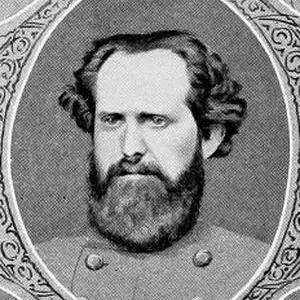
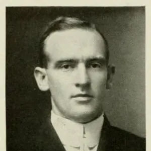
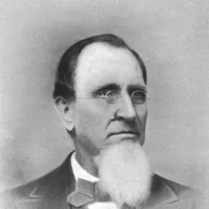
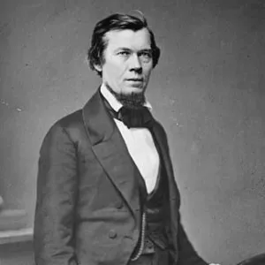
BIOGRAPHIES FOR![]()
Granville County
 WILDLIFE PROFILES FOR
Piedmont region
GEOGRAPHIC INFORMATION
REGION: Piedmont
RIVER BASIN: Neuse, Roanoke, Tar-Pamlico, Map
NEIGHBORING COUNTIES: Durham, Franklin, Person, Vance, Wake