Randolph County Resources
- View All:
- Biographies
- Monuments
- locations
ANCHOR (A North Carolina History Online Resource) is now its own website!
Copyright Notice: This article is from the Encyclopedia of North Carolina edited by William S. Powell. Copyright © 2006 by the University of North Carolina Press. Used by permission of the publisher. For personal use and not for further distribution. Please submit permission requests for other use directly to the publisher.
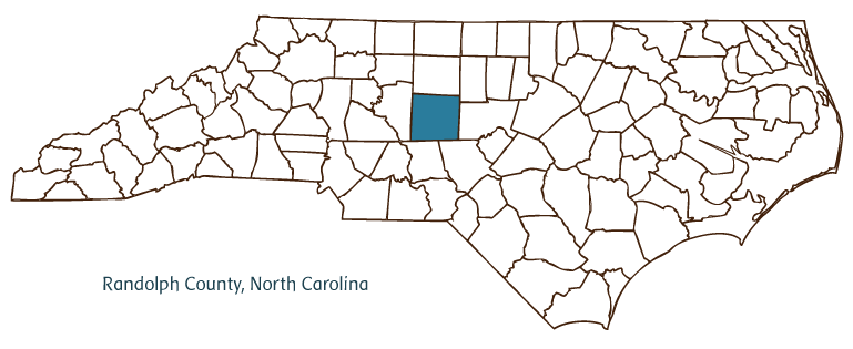
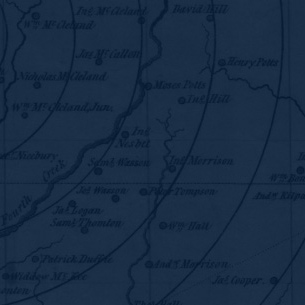
Randolph County, located in the Piedmont region of North Carolina, was formed in 1779 from Guilford County and named for Peyton Randolph, the first president of the Continental Congress. Early inhabitants of the area included the Saponi, Keyauwee, and other Siouan Indians, followed by German, Scotch-Irish, and English settlers. Quakers and Moravians also migrated to the area in the eighteenth century. Asheboro, the county seat, was incorporated in 1796 and named for Samuel Ashe, a former governor of North Carolina. It is the location of the North Carolina Zoological Park, which attracts thousands of visitors each year and has spurred a great deal of growth in the town and county. Other Randolph County communities include Archdale, Ramseur, Liberty, Seagrove, Franklinville, Coleridge, Whynot, Trinity, and Worthville. Randolph County is covered in part by the Uwharrie National Forest. Other notable physical features of the county include the Uwharrie River, Purgatory Mountain, Squirrel Creek, the Little River, and Needhams Mountain.
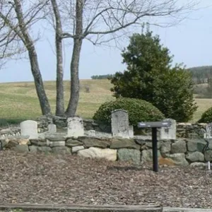
Several important participants in the War of the Regulation (1764-71) lived in what is now Randolph County. Trinity College, established in 1838, moved to Durham in 1892 and became Duke University. Randolph County is home to a number of historic sites and landmarks, such as the Sunset Theatre, built in 1929; the Asheboro City Cemetery, in use since 1827; and Skeen's Mill Covered Bridge, built in the 1890s. Cultural institutions include the Museum of North Carolina Traditional Pottery, the American Classic Motorcycle Museum, the Richard Petty Museum, and the North Carolina Pottery Center. The Seagrove region is a very important center of North Carolina pottery production. The county hosts festivals and annual events that include the Spring Kiln Opening in Seagrove, Festival of the Dogs in Franklinville, and Christmas parades in several towns.
Randolph County produces agricultural goods such as eggs, tobacco, corn, soybeans, hay, vegetables, fruit, and poultry. Manufactured products include furniture, dry batteries, hospital supplies, cushions and pillows, shoes, fabrics, apparel, and industrial components. The county's estimated population in 2004 was 135,800.
For an annotated history of the county's formation, with the laws affecting the county, boundary lines and changes, and other origin information, visit these references in The Formation of the North Carolina Counties (Corbitt, 2000), available online at North Carolina Digital Collections (note, there may be additional items of interest for the county not listed here):
County formation history: https://digital.ncdcr.gov/Documents/Detail/the-formation-of-the-north-ca...
Index entry for the county: https://digital.ncdcr.gov/Documents/Detail/the-formation-of-the-north-ca...
Additional resources:
Corbitt, David Leroy. 2000. The formation of the North Carolina counties, 1663-1943. https://digital.ncdcr.gov/Documents/Detail/the-formation-of-the-north-carolina-counties-1663-1943/3692099?item=4553233 (accessed June 20, 2017).
Randolph County Government: http://www.randolphcountync.gov
Asheboro / Randolph County Chamber of Commerce: https://www.chamber.asheboro.com/
DigitalNC, Randolph County: https://www.digitalnc.org/counties/randolph-county/
North Carolina Digital Collections (explore by place, time period, format): https://digital.ncdcr.gov
Image credits:
Rudersdorf, Amy. 2010. "NC County Maps." Government & Heritage Library, State Library of North Carolina.
Mazzocchi, Jay. "Randolph County." NCpedia. Library of NC. 2006.
RANDOLPH COUNTY GOVERNMENT:
www.randolphcountync.gov
COUNTY SEAT: Asheboro
FORMED: 1779
FORMED FROM: Guilford
LAND AREA: 782.52 square miles
2020 POPULATION ESTIMATE: 144,171
White: 88.8%
Black/African American: 6.6%
American Indian: 1.2%
Asian: 1.5%
Pacific Islander: 0.1%
Two or more races: 1.8%
Hispanic/Latino: 12.0% (of any race)
From State & County QuickFacts, US Census Bureau, 2020.
CONGRESSIONAL DISTRICT: 6TH
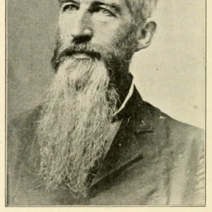
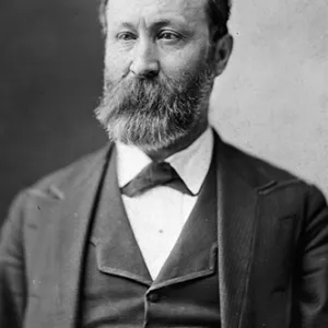
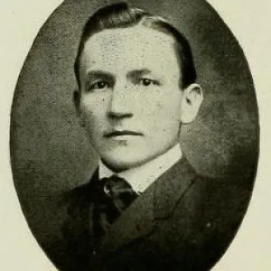
BIOGRAPHIES FOR![]()
Randolph County
 WILDLIFE PROFILES FOR
Piedmont region
GEOGRAPHIC INFORMATION
REGION: Piedmont
RIVER BASIN: Cape Fear, Yadkin-Pee Dee, Map
NEIGHBORING COUNTIES: Alamance, Chatham, Davidson, Guilford, Montgomery, Moore