Cumberland County Resources
- View All:
- Biographies
- Monuments
- locations
ANCHOR (A North Carolina History Online Resource) is now its own website!
We have rescheduled our maintenance on NCpedia to Friday, May 22, beginning at 3 pm. You may experience access issues over the weekend (May 23 and 24). We apologize for the inconvenience.
Copyright Notice: This article is from the Encyclopedia of North Carolina edited by William S. Powell. Copyright © 2006 by the University of North Carolina Press. Used by permission of the publisher. For personal use and not for further distribution. Please submit permission requests for other use directly to the publisher.
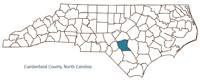
Cumberland County, located in North Carolina's Coastal Plain region, was formed from Bladen County in 1754. Its name is derived from the title of Prince William Augustus, the duke of Cumberland, the son of King George II who was the victorious commander at the Battle of Culloden in 1746. In 1778 Campbellton, consolidated with nearby Cross Creek, was designated the county seat, and in 1783 the town was renamed Fayetteville in honor of the Marquis de Lafayette, the French general who fought for American independence during the Revolutionary War. Other communities in the county include Falcon, Godwin, Hope Mills, Linden, Spring Lake, Stedman, and Wade.
The area that became Cumberland County was first settled by Highland Scots in the late 1720s. It remained largely undeveloped, however, through the early twentieth century, when construction began on a U.S. military training camp in the northwest corner of the county. Upon its completion in early 1919, Camp (later Fort) Bragg, named after native North Carolinian and Confederate general Braxton Bragg, quickly established close ties with the nearby Fayetteville community. As the base swelled to become one of the largest military installations in the country, Fayetteville experienced significant growth and commercialization to accommodate the military personnel and their families; in the process, Cumberland County rose to become the fifth-most-populous county in North Carolina, with a population estimated at nearly 311,000 in 2004.
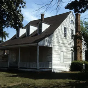
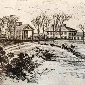
Cumberland County's historic landmarks and institutions include the Averasboro Battlefield and Museum, site of the Civil War battle of March 1865; and Fayetteville's Museum of the Cape Fear, Airborne and Special Operations Museum, 82nd Airborne Division War Memorial Museum, and Fayetteville Museum of Art. County agricultural products include tobacco, corn, soybeans, cotton, peanuts, beef cattle, and chickens. Cumberland County facilities manufacture textiles, brick and concrete products, metal products, plastics, power tools, and other items.
For an annotated history of the county's formation, with the laws affecting the county, boundary lines and changes, and other origin information, visit these references in The Formation of the North Carolina Counties (Corbitt, 2000), available online at North Carolina Digital Collections (note, there may be additional items of interest for the county not listed here):
County formation history: https://digital.ncdcr.gov/Documents/Detail/the-formation-of-the-north-ca...
Index entry for the county: https://digital.ncdcr.gov/Documents/Detail/the-formation-of-the-north-ca...
References:
Roy Parker Jr., Cumberland County: A Brief History (1990).
Additional resources:
Corbitt, David Leroy. 2000. The formation of the North Carolina counties, 1663-1943. https://digital.ncdcr.gov/Documents/Detail/the-formation-of-the-north-carolina-counties-1663-1943/3692099?item=4553233 (accessed June 20, 2017).
Cumberland County Government: https://www.cumberlandcountync.gov/
Fayetteville-Cumberland County Chamber of Commerce: https://faybiz.com/
DigitalNC, Cumberland County: https://www.digitalnc.org/counties/cumberland-county/
North Carolina Digital Collections (explore by place, time period, format): https://digital.ncdcr.gov
Image credits:
Rudersdorf, Amy. 2010. "NC County Maps." Government & Heritage Library, State Library of North Carolina.
Vocci, Robert Blair. "Cumberland County." NCpedia. Library of NC. 2006.
CUMBERLAND COUNTY GOVERNMENT:
https://www.cumberlandcountync.gov/
COUNTY SEAT: Fayetteville
FORMED: 1754
FORMED FROM: Bladen
LAND AREA: 652.32 square miles
2020 POPULATION ESTIMATE: 334,728
White: 51.1%
Black/African American: 39.6%
American Indian: 1.9%
Asian: 2.7%
Pacific Islander: 0.4%
Two or more races: 4.8%
Hispanic/Latino: 12.1% (of any race)
From State & County QuickFacts, US Census Bureau, 2020.
CONGRESSIONAL DISTRICT: 8TH, 9TH
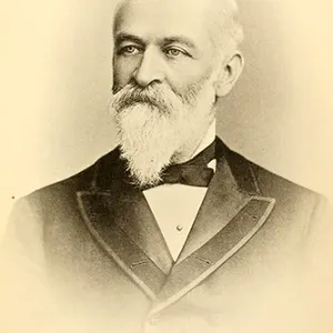
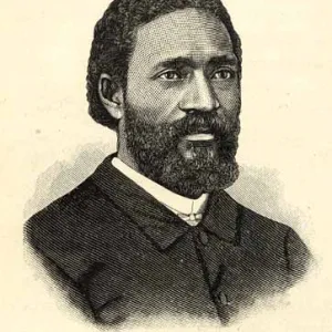
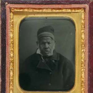
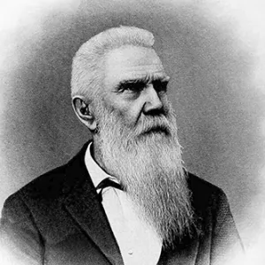
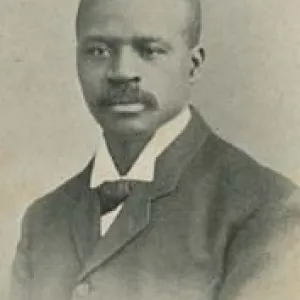
BIOGRAPHIES FOR![]()
Cumberland County
 WILDLIFE PROFILES FOR
Coastal Plain
GEOGRAPHIC INFORMATION
REGION: Coastal Plain
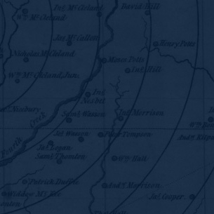
RIVER BASIN: Cape Fear, Map
NEIGHBORING COUNTIES: Bladen, Harnett, Hoke, Moore, Robeson, Sampson