Rowan County Resources
- View All:
- Biographies
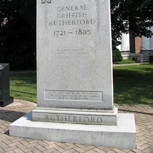
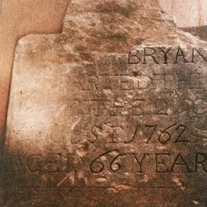
- Monuments
- locations
ANCHOR (A North Carolina History Online Resource) is now its own website!
Copyright Notice: This article is from the Encyclopedia of North Carolina edited by William S. Powell. Copyright © 2006 by the University of North Carolina Press. Used by permission of the publisher. For personal use and not for further distribution. Please submit permission requests for other use directly to the publisher.
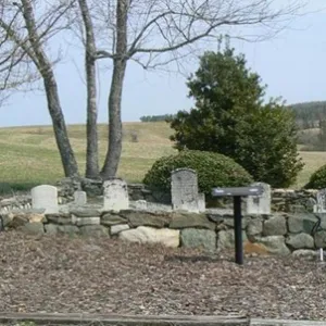
See also: Confederate Prison (Salisbury); Gold Hill Mine.
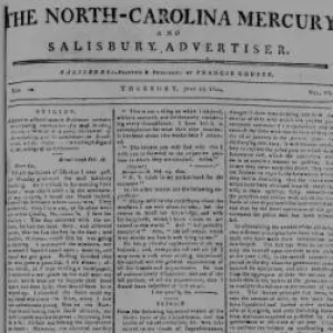
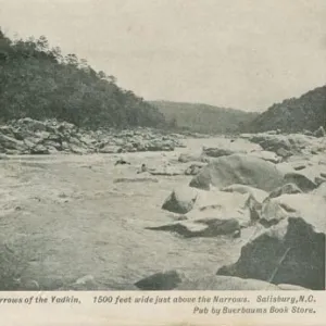
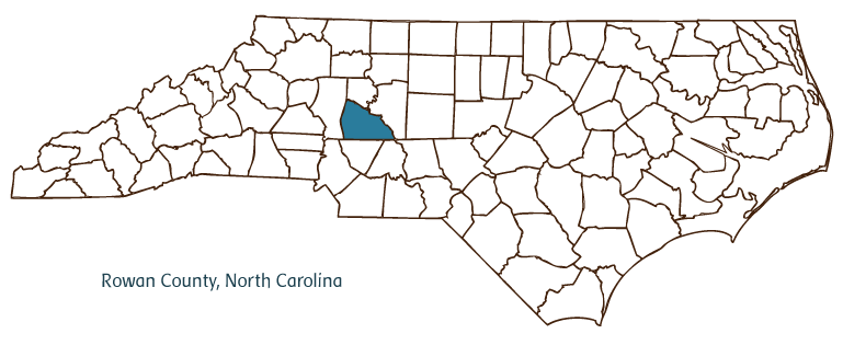
Rowan County, located in the Piedmont region of North Carolina, was formed in 1753 from Anson County and was named for Matthew Rowan, the governor of North Carolina at the time of the county's establishment. Early inhabitants of the area included the Catawba and Saponi Indians, followed by German and Scotch-Irish settlers. Salisbury, the county seat, was incorporated in 1755 and was named after the cathedral town in England; during much of the nineteenth century, it was the largest city in western North Carolina and served as a major center of trade and politics. Other communities in the county include Spencer, East Spencer, China Grove, Bear Poplar, Mount Ulla, Millbridge, Faith, Craven, and part of Kannapolis, extending up from Cabarrus County. Notable physical features of the county include the Yadkin River, High Rock Lake, Dunn Mountain, and Panther and Beaverdam Creeks.
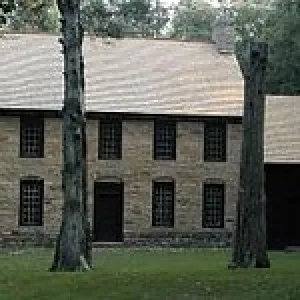
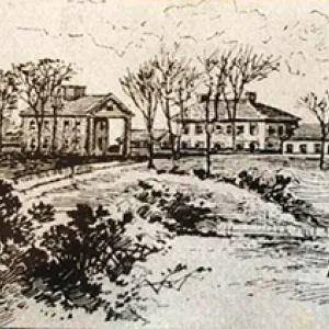
Catawba College (1851) and Livingstone College (1879) are located in Rowan County, which also is home to several landmarks and historic sites, such as Old Stone House, the county's oldest building, constructed around 1766. This and other sites are run by Rowan Museum, Inc. Other significant landmarks include the Confederate Prison and the Gold Hill Mining District. Cultural institutions in Rowan County include the North Carolina Transportation Museum at Spencer Shops, Waterworks Visual Arts Center, Catawba College's Shuford School of Performing Arts, and the Catawba Community Children's Chorus. The county hosts festivals and annual events such as the Rowan County Agricultural Fair, the National Sportscaster and Sportswriters Hall of Fame Awards, the Old Miners Jubilee, Santa Claus Special, the Rockwell Craft Festival, and Take Pride in Granite Day.
Rowan County produces agricultural goods such as horticultural crops and livestock. Manufactured products include polyester fiber, trucks, textiles, yarn, furnaces, furniture, and mobile homes. The population of Rowan County was estimated to be 133,000 in 2004.
For an annotated history of the county's formation, with the laws affecting the county, boundary lines and changes, and other origin information, visit these references in The Formation of the North Carolina Counties (Corbitt, 2000), available online at North Carolina Digital Collections (note, there may be additional items of interest for the county not listed here):
County formation history: https://digital.ncdcr.gov/Documents/Detail/the-formation-of-the-north-ca...
Index entry for the county: https://digital.ncdcr.gov/Documents/Detail/the-formation-of-the-north-ca...
References:
Brawley, James S. Rowan County: A Brief History. Raleigh: North Carolina Department of Cultural Resources, Division of Archives and History, 1977. https://archive.org/details/rowancountybrief00braw (accessed February 15, 2019).
Additional resources:
Corbitt, David Leroy. The Formation of the North Carolina Counties, 1663-1943. Raleigh: Division of Archives and History, North Carolina Department of Cultural Resources, 1987. https://digital.ncdcr.gov/Documents/Detail/the-formation-of-the-north-carolina-counties-1663-1943/3692099?item=4553233 (accessed June 20, 2017).
Rowan County Government. "Rowan County, North Carolina." https://www.rowancountync.gov/ (accessed February 15, 2019).
Rowan County Chamber of Commerce. "Welcome to the Rowan County Chamber of Commerce." https://www.rowanchamber.com/ (accessed February 15, 2019).
DigitalNC. "Rowan County." North Carolina Digital Heritage Center. https://www.digitalnc.org/counties/rowan-county/ (accessed February 15, 2019).
North Carolina Digital Collections. "Explore by ... [place, time period, format]." North Carolina Department of Natural and Cultural Resources. https://digital.ncdcr.gov (accessed February 15, 2019).
Image credits:
Rudersdorf, Amy. "NC County Maps." Raleigh: Government & Heritage Library, State Library of North Carolina, 2010.
Mazzocchi, Jay. "Rowan County." NCpedia. Library of NC. 2006.
ROWAN COUNTY GOVERNMENT:
www.rowancountync.gov
COUNTY SEAT: Salisbury
FORMED: 1753
FORMED FROM: Anson
LAND AREA: 511.37 square miles
2020 POPULATION ESTIMATE: 146,875
White: 79.4%
Black/African American: 16.9%
American Indian: 0.6%
Asian: 1.2%
Pacific Islander: 0.1%
Two or more races: 1.8%
Hispanic/Latino: 9.4% (of any race)
From State & County QuickFacts, US Census Bureau, 2020.
CONGRESSIONAL DISTRICT: 8TH, 13TH
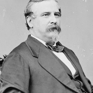
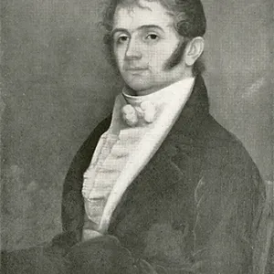
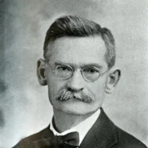
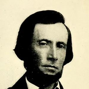
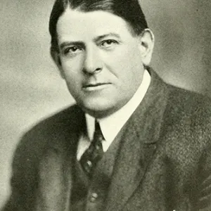
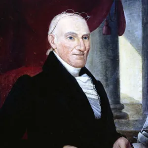
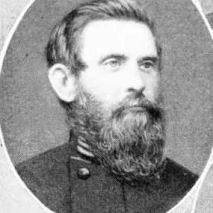
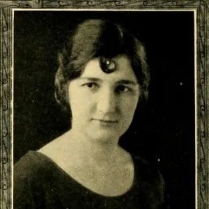
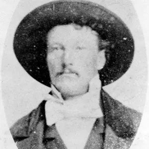
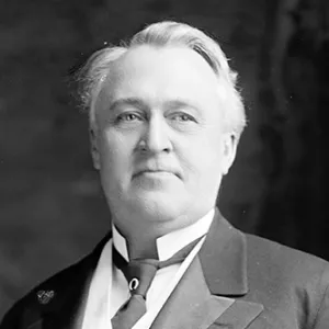
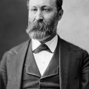
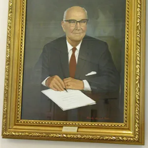
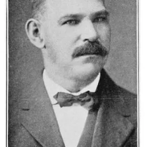
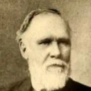
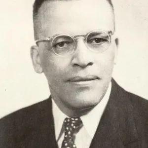
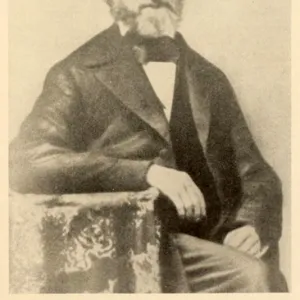
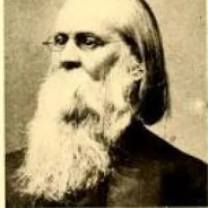
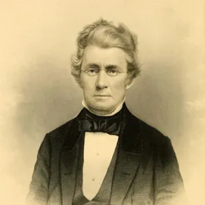
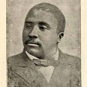
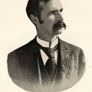
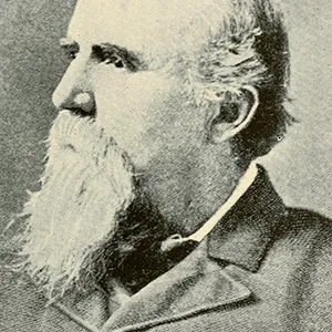
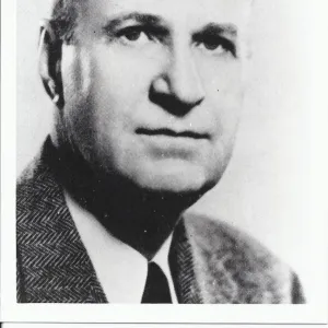
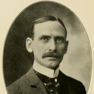
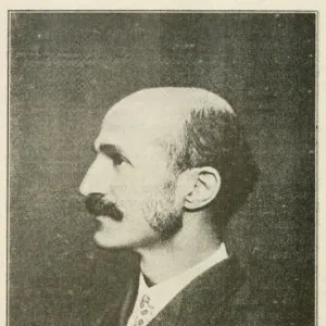
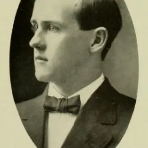
BIOGRAPHIES FOR![]()
Rowan County
 WILDLIFE PROFILES FOR
Piedmont region
GEOGRAPHIC INFORMATION
REGION: Piedmont
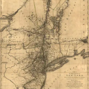
RIVER BASIN: Yadkin-Pee Dee, Map
NEIGHBORING COUNTIES: Cabarrus, Davidson, Davie, Iredell, Stanly