 1199163600
All Rights Reserved
"All rights reserved" is a traditional copyright term that indicates that the copyright holder reserves for his/her/their own use all of the rights given to copyright owners under U.S. copyright law. Items that are included in NCpedia and/or ANCHOR with this rights statement appear by agreement or permission from the rights holder or the institution that holds the item. Click "Available at" to visit the website for the collection where the item appears for more information about the rights or specific uses allowed. For all other non-specified uses, please contact the copyright holder or item owner.
Citation
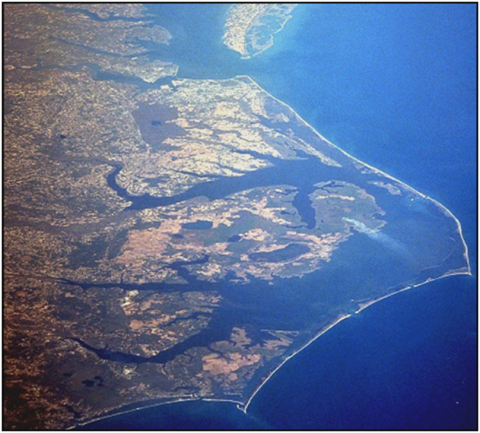
MODIS Land Rapid Response Team, NASA GSFC. November 24, 2022 - North Carolina's Coastal Plain. November 19, 2022. Photograph. NASA. Accessed February 20, 2026.
Original image no longer available.