Established: 1982
GPS Coordinates: 36.011700,-78.688800

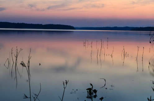
Falls Lake State Recreation Area is a collective of seven access areas scattered around the shoreline of an undeveloped, 12,000-acre reservoir. More than 300 campsites at four access areas offer a range of outdoor experiences from RV hookups to primitive tent camping and group camps. There are five swim beaches in the recreation area and a number of boating ramps, some reserved for paddlers and non-gasoline powered boats.
The Beaverdam access offers a network of mountain biking trails as well as a separate and quiet lake impoundment perfect for paddling, fishing and swimming. The Mountains-to-Sea State Trail winds through parts of the recreation area and is a centerpiece of a network of hiking trails.
Prior to 1978, flooding of the Neuse River caused extensive damage to public and private properties including roadways, railroads, industrial sites and farmlands. The Falls Lake Project was developed by the US Army Corps of Engineers to control damaging floods and to supply a source of water for surrounding communities. Construction of the dam began in 1978 and was completed in 1981. In addition to recreation opportunities, Falls Lake now provides flood and water-quality control, water supply, and fish and wildlife conservation.