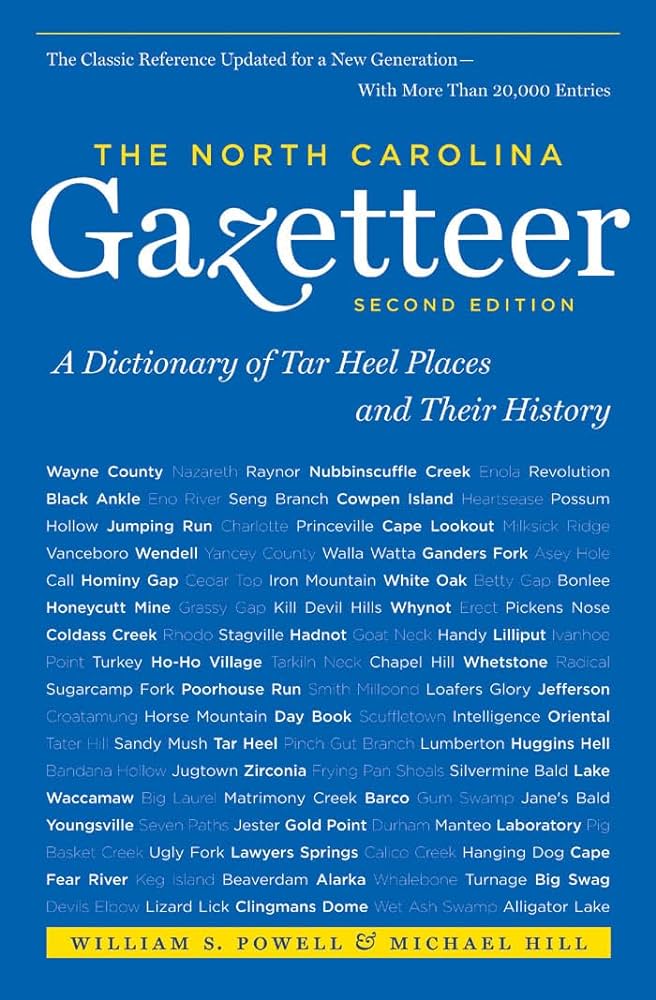
This content is from the North Carolina Gazetteer, edited by William S. Powell and Michael Hill. Copyright © 2010 by the University of North Carolina Press. Used by permission of the publisher. For personal use and not for further distribution. Please submit permission requests for other use directly to the publisher.

Some place names included in The North Carolina Gazetteer contain terms that are considered offensive.

"The North Carolina Gazetteer is a geographical dictionary in which an attempt has been made to list all of the geographic features of the state in one alphabet. It is current, and it is historical as well. Many features and places that no longer exist are included; many towns and counties for which plans were made but which never materialized are also included. Some names appearing on old maps may have been imaginary, but many of them also appear in this gazetteer.

Each entry is located according to the county in which it is found. I have not felt obliged to keep entries uniform. The altitude of a place, the date of incorporation of a city or town, may appear in the beginning of one entry and at the end of another. Some entries may appear more complete than others. I have included whatever information I could find. If there is no comment on the origin or meaning of a name, it is because the information was not available. In some cases, however, resort to an unabridged dictionary may suggest the meaning of many names."

--From The North Carolina Gazetteer, 1st edition, preface by William S. Powell
Alphabetical Glossary Filter

"
3
A
B
C
D
E
F
G
H
I
J
K
L
M
N
O
P
Q
R
S
T
U
V
W
X
Y
Z
Place Description
Pamlico River

is the lower course of Tar River after it enters Beaufort County. It flows SE for 33 mi. before emptying into Pamlico Sound. Explored in 1584 by Arthur Barlowe and called Cipo River, for sipowi, the local Indian word for river. Appears as Pamptico River on the Comberford map, 1657, and as Pamticough River on the Moll map, 1729. Named for the Pamlico Indians in the area. Bonds Ferry appears on the Collet map, 1770, as crossing the Pamlico River on the road from Bath to New Bern.

Pamlico Sound

NE and E North Carolina, is separated from the Atlantic Ocean by a part of the Outer Banks. Approx. 80 mi. long and 15 to 30 mi. wide. Shallow in the n; max. depth 21 ft. in the s. Sea level, freshwater, not affected by the tide. Waters from Albemarle Sound and Pamlico and Neuse Rivers enter the Sound, and it drains into the Atlantic Ocean through Hatteras and Ocracoke Inlets. Named for the Pamlico Indians who lived along its shores. Shown but not named on early maps; appears simply as The Sound on the Ogilby map, 1671, but as Pamticoe Sound on the Moseley map, 1733. The White map, 1590, labels the central part of the sound as Mentso, which see, and the N part as Nausegoc, which see. The largest sound on the E coast of the United States. See also Paquiac.

Pamptecough Precinct

was created in Bath County on December 3, 1705. It took its name from Pamptecough (Pamlico) River. The name was changed to Beaufort County, which see, about 1712. The town of Bath was the county seat from its inc. in 1705 until 1785, when Washington became the county seat.

Pamticoe Sound

See Pamlico Sound.

Panacea

community in E Warren and NW Halifax Counties on Bens Creek. Named for Panacea Springs, a popular resort there in early 1900s with a large hotel and a lake near mineral springs (supposedly curative). Water formerly bottled and sold; the hotel, lake, and cottages are gone.

Panacea Springs

See Panacea.

Panauuaioc

Indian village site shown on the De Bry map, 1590, in what is now Beaufort County near the head of Pamlico River on its S bank.

Pancake Branch

rises in W Avery County and flows NW into North Toe River.

Panhandle Creek

rises in S Madison County and flows NW into French Broad River.

Pant

community in NE Haywood County served by post office, 1884-1905.