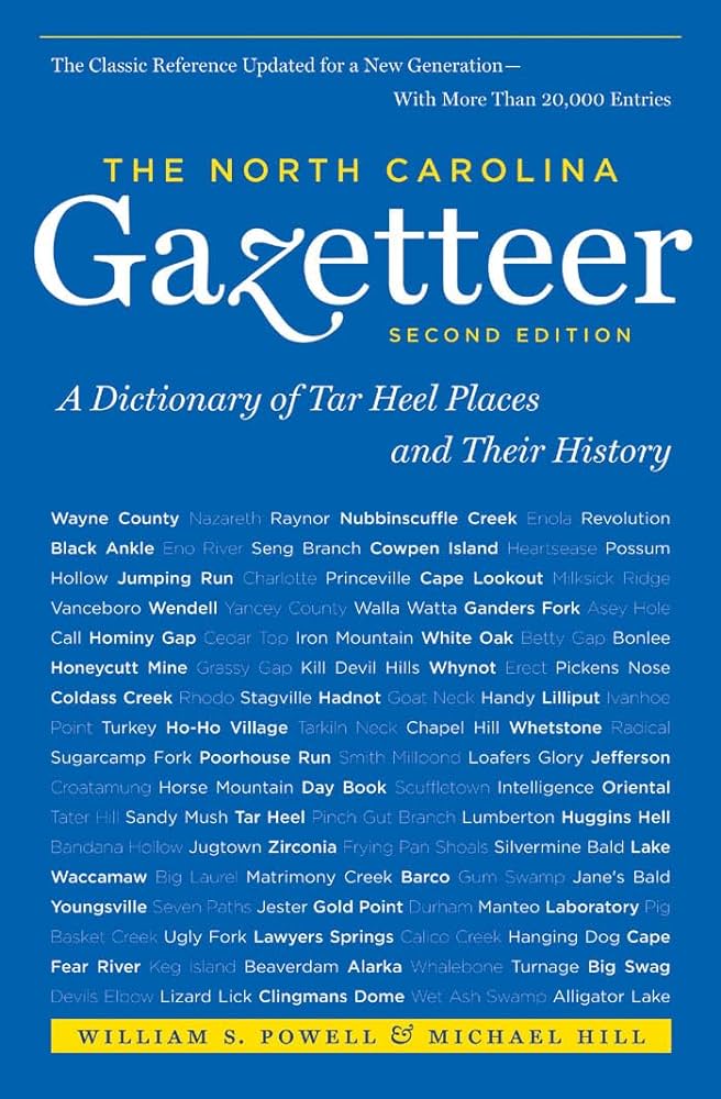
This content is from the North Carolina Gazetteer, edited by William S. Powell and Michael Hill. Copyright © 2010 by the University of North Carolina Press. Used by permission of the publisher. For personal use and not for further distribution. Please submit permission requests for other use directly to the publisher.

Some place names included in The North Carolina Gazetteer contain terms that are considered offensive.

"The North Carolina Gazetteer is a geographical dictionary in which an attempt has been made to list all of the geographic features of the state in one alphabet. It is current, and it is historical as well. Many features and places that no longer exist are included; many towns and counties for which plans were made but which never materialized are also included. Some names appearing on old maps may have been imaginary, but many of them also appear in this gazetteer.

Each entry is located according to the county in which it is found. I have not felt obliged to keep entries uniform. The altitude of a place, the date of incorporation of a city or town, may appear in the beginning of one entry and at the end of another. Some entries may appear more complete than others. I have included whatever information I could find. If there is no comment on the origin or meaning of a name, it is because the information was not available. In some cases, however, resort to an unabridged dictionary may suggest the meaning of many names."

--From The North Carolina Gazetteer, 1st edition, preface by William S. Powell
Alphabetical Glossary Filter

"
3
A
B
C
D
E
F
G
H
I
J
K
L
M
N
O
P
Q
R
S
T
U
V
W
X
Y
Z
Place Description
Point Peter

point of land extending into Cape Fear River at its junction with Northeast Cape Fear River opposite Wilmington, W New Hanover County. Before the Civil War, it was a terminal for river traffic to and from Fayetteville and Averasboro. Named for Peter Mallett (b. 1744), Revolutionary leader. See also Peters Point.

Point Prospect

S Orange County in the town of Chapel Hill about ½ mi. E of the University of North Carolina campus, a very high ridge below which, as William R. Davie wrote in 1793, "the flat country spreads off… like the ocean, giving an immense hemisphere, in which the eye seems to be lost in the extent of space." The peak was owned by the university until 1894, when the U.S. Circuit Court ordered it to be sold to pay university debts. Sometimes known as Piney Prospect for the pines in the vicinity and because Point was often pronounced "pint," which evolved into Piney. Site of Gimghoul Castle.

Poison Branch

rises in NE Ashe County and flows NE into North Fork New River.

Poison Cove

E Haywood County on the head of Poison Cove Branch.

Poison Cove Branch

rises in NE Buncombe County and flows NW into North Fork Ivy Creek.

Poison Cove Top

E Haywood County near the head of Poison Cove Branch.

Poison Fork

rises in S Randolph County and flows SW into Montgomery County, where it enters Barnes Creek.

Poison Springs

See Barium Springs.

Pokeberry Creek

rises in N Chatham County and flows SW into Haw River.

Pole Branch

rises in W Johnston County and flows SE into Black Creek.