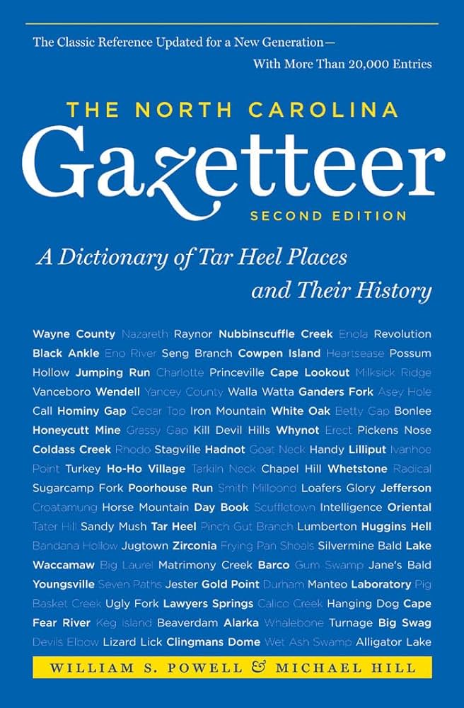
This content is from the North Carolina Gazetteer, edited by William S. Powell and Michael Hill. Copyright © 2010 by the University of North Carolina Press. Used by permission of the publisher. For personal use and not for further distribution. Please submit permission requests for other use directly to the publisher.

Some place names included in The North Carolina Gazetteer contain terms that are considered offensive.

"The North Carolina Gazetteer is a geographical dictionary in which an attempt has been made to list all of the geographic features of the state in one alphabet. It is current, and it is historical as well. Many features and places that no longer exist are included; many towns and counties for which plans were made but which never materialized are also included. Some names appearing on old maps may have been imaginary, but many of them also appear in this gazetteer.

Each entry is located according to the county in which it is found. I have not felt obliged to keep entries uniform. The altitude of a place, the date of incorporation of a city or town, may appear in the beginning of one entry and at the end of another. Some entries may appear more complete than others. I have included whatever information I could find. If there is no comment on the origin or meaning of a name, it is because the information was not available. In some cases, however, resort to an unabridged dictionary may suggest the meaning of many names."

--From The North Carolina Gazetteer, 1st edition, preface by William S. Powell
Alphabetical Glossary Filter

"
3
A
B
C
D
E
F
G
H
I
J
K
L
M
N
O
P
Q
R
S
T
U
V
W
X
Y
Z
Place Description
Quaker Scrub Creek

rises in NE Alamance County and flows S into Back Creek.

Qualla

community in NW Jackson County on Shoal Creek. The name is from the Cherokee word kwalli (old woman), because an old Cherokee woman, Polly, lived there. Also called Quallatown. Alt. 2,250.

Qualla Boundary

home of the Eastern Band of Cherokee Indians in Swain, Jackson, and Haywood Counties in Great Smoky Mountains. Est. by the United States after the Cherokee removal of 1838. Covers 63,000 acres and is the largest Indian reservation E of the Mississippi. The reservation is divided into Big Cove Town, Wolf Town, Yellow Hill Town, Paint Town, and Bird Town townships. In addition, a number of Cherokees living off the reservation in Cheoah Township, Graham County, are under tribal jurisdiction. Land is held in common and assigned on a tenant system.

Qualla Township

N Jackson County.

Quallatown

See Qualla.

Qualls Creek

rises in S Clay County and flows NE into Hiwassee River approx. ¾ mi. N of town of Hayesville. Named for an Indian woman.

Quankey Creek

rises in N Halifax County and flows SE into Roanoke River. Appears as Quountka Creek on the Moseley map, 1733; does not appear on the Collet map, 1770, or the Price map, 1808. Appears next on the MacRae map, 1833, with its present name. A Tuscarora Indian name. Indian relics have been found along its lower course.

Quaqua Creek

rises in N Rockingham County and flows E into Wolf Island Creek.

Quarry

community in S Wilkes County.

Quarry Branch

rises in N Alamance County and flows SE into Tom's Creek.