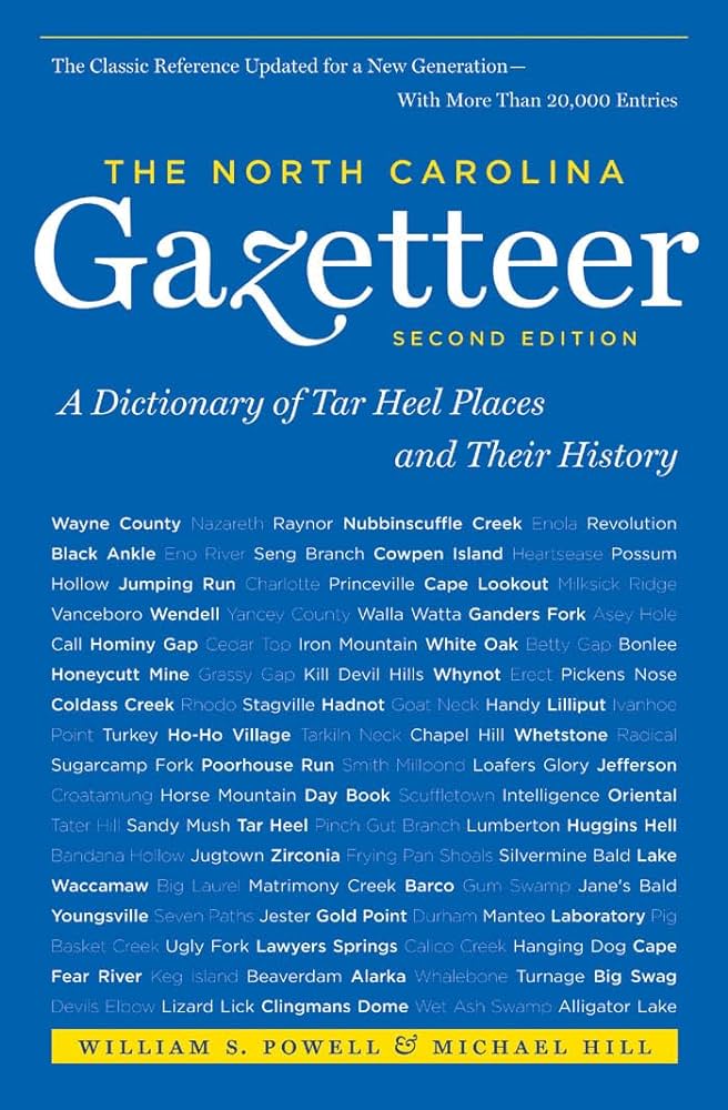
This content is from the North Carolina Gazetteer, edited by William S. Powell and Michael Hill. Copyright © 2010 by the University of North Carolina Press. Used by permission of the publisher. For personal use and not for further distribution. Please submit permission requests for other use directly to the publisher.

Some place names included in The North Carolina Gazetteer contain terms that are considered offensive.

"The North Carolina Gazetteer is a geographical dictionary in which an attempt has been made to list all of the geographic features of the state in one alphabet. It is current, and it is historical as well. Many features and places that no longer exist are included; many towns and counties for which plans were made but which never materialized are also included. Some names appearing on old maps may have been imaginary, but many of them also appear in this gazetteer.

Each entry is located according to the county in which it is found. I have not felt obliged to keep entries uniform. The altitude of a place, the date of incorporation of a city or town, may appear in the beginning of one entry and at the end of another. Some entries may appear more complete than others. I have included whatever information I could find. If there is no comment on the origin or meaning of a name, it is because the information was not available. In some cases, however, resort to an unabridged dictionary may suggest the meaning of many names."

--From The North Carolina Gazetteer, 1st edition, preface by William S. Powell
Alphabetical Glossary Filter

"
3
A
B
C
D
E
F
G
H
I
J
K
L
M
N
O
P
Q
R
S
T
U
V
W
X
Y
Z
Place Description
Ramushawn River

appears on the Comberford map, 1657, in what is now Chowan County. Its identity is uncertain, but it lay between Yeopim River and Chowan River and may have been intended to represent the present Pembroke Creek.

Ranaleburg

community in SW Mecklenburg County served by post office, 1834-1902. Originally Randlesburg for Arthur Randolph Erwin, who opened a store and cotton gin there in 1834. Company B of 13th North Carolina Troops, known as "Ranalesburg Rifles," formed there during Civil War. Served by post office, 1851-1902.

Randall Gap

central Buncombe County near the headwaters of Ross Creek.

Randall Lake

on Big Creek in SE Macon County.

Randleman

town in N Randolph County on Deep River. First known as Dicks for Peter Dicks, who built a gristmill there approx. 1830; in 1848 a cotton mill was built there and the name changed to Union Factory. In 1866 the name was changed to Randleman for John B. Randleman, one of the owners of the mill. Inc. in 1880 as Randleman Mills; name changed to Randleman in 1889. Naomi Falls, low natural falls in Deep River, was there but now under the water behind a 25 ft. dam. Falls named for Naomi Wise, who was drowned there by Jonathan Lewis in 1808, giving rise to eponymous folk song.

Randleman Township

NW Randolph County.

Randolph

See Hinshaw.

Randolph County

was formed in 1779 from Guilford County. Located in the central section of the state, it is bounded by Chatham, Moore, Montgomery, Davidson, Guilford, and Alamance Counties. It was named for Peyton Randolph (1721?-75), president of the Continental Congress. Area: 801 sq. mi. County seat: Asheboro, with an elevation of 879 ft. Townships are Asheboro, Back Creek, Brower, Cedar Grove, Coleridge, Columbia, Concord, Franklinville, Grant, Level Cross, Liberty, New Hope, New Market, Pleasant Grove, Providence, Randleman, Seagrove, and Trinity. Produces wheat, corn, oats, poultry, dairy products, hay, barley, tobacco, nursery products, hogs, livestock, hosiery, apparel, textiles, tires, batteries, toys, furniture, shoes, and electric blankets.

Randolph Courthouse

community in W Randolph County served by post office, 1794-1810. Named changed to Asheboro, which see.

Randolph Mill

See Forest Hill.