Some place names included in The North Carolina Gazetteer contain terms that are considered offensive.
Copyright Notice: This content is from the North Carolina Gazetteer, edited by William S. Powell and Michael Hill. Copyright © 2010 by the University of North Carolina Press. Used by permission of the publisher. For personal use and not for further distribution. Please submit permission requests for other use directly to the publisher.
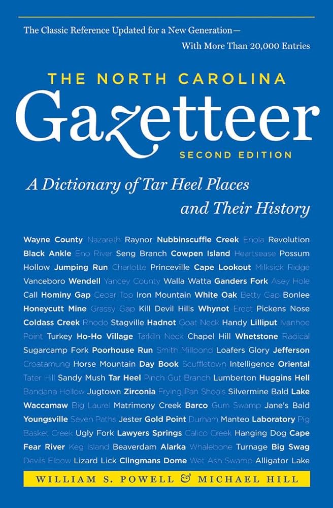
"The North Carolina Gazetteer is a geographical dictionary in which an attempt has been made to list all of the geographic features of the state in one alphabet. It is current, and it is historical as well. Many features and places that no longer exist are included; many towns and counties for which plans were made but which never materialized are also included. Some names appearing on old maps may have been imaginary, but many of them also appear in this gazetteer.
Each entry is located according to the county in which it is found. I have not felt obliged to keep entries uniform. The altitude of a place, the date of incorporation of a city or town, may appear in the beginning of one entry and at the end of another. Some entries may appear more complete than others. I have included whatever information I could find. If there is no comment on the origin or meaning of a name, it is because the information was not available. In some cases, however, resort to an unabridged dictionary may suggest the meaning of many names."
--From The North Carolina Gazetteer, 1st edition, preface by William S. Powell
| Place | Description |
|---|---|
| Murphy Branch |
rises in S Mitchell County and flows W into Crabtree Creek. |
| Murphy Falls |
on Big Crabtree Creek on the Mitchell-Yancey county line. |
| Murphy Gap |
NE Graham County. |
| Murphy Township |
central Cherokee County. |
| Murray Branch |
rises in E Haywood County in Buckeye Cove and flows S into Pigeon River. |
| Murray Cove |
S Haywood County on a tributary of Little East Fork Pigeon River. |
| Murray Creek |
rises in S central Henderson County and flows N into Greer Creek. |
| Murray Gap |
W Haywood County between Huckleberry Knob and Winding Knob. |
| Murraysville |
community in N New Hanover County. |
| Murrayville |
former community on Cane Creek in N Henderson County (then Buncombe County); named for William Murray, whose home was there. Buncombe Turnpike ran nearby. A post office operated there, 1806 to ca. 1827. The Catawba grape was discovered growing in the vicinity. |