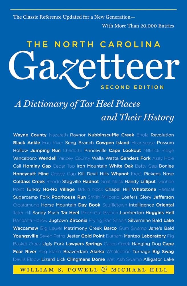
This content is from the North Carolina Gazetteer, edited by William S. Powell and Michael Hill. Copyright © 2010 by the University of North Carolina Press. Used by permission of the publisher. For personal use and not for further distribution. Please submit permission requests for other use directly to the publisher.

Some place names included in The North Carolina Gazetteer contain terms that are considered offensive.

"The North Carolina Gazetteer is a geographical dictionary in which an attempt has been made to list all of the geographic features of the state in one alphabet. It is current, and it is historical as well. Many features and places that no longer exist are included; many towns and counties for which plans were made but which never materialized are also included. Some names appearing on old maps may have been imaginary, but many of them also appear in this gazetteer.

Each entry is located according to the county in which it is found. I have not felt obliged to keep entries uniform. The altitude of a place, the date of incorporation of a city or town, may appear in the beginning of one entry and at the end of another. Some entries may appear more complete than others. I have included whatever information I could find. If there is no comment on the origin or meaning of a name, it is because the information was not available. In some cases, however, resort to an unabridged dictionary may suggest the meaning of many names."

--From The North Carolina Gazetteer, 1st edition, preface by William S. Powell
Alphabetical Glossary Filter

"
3
A
B
C
D
E
F
G
H
I
J
K
L
M
N
O
P
Q
R
S
T
U
V
W
X
Y
Z
Place Description
Biven

community in S Brunswick County served by post office, 1898-1904.

Bixby

community in E Davie County. The first train on that portion of the track ran in 1891. From 1881 to at least 1889, the community was known as Chaplin's Stand. Named by a railroad conductor after he observed a large stock of Bixby Shoe Polish in the community store. Alt. 835.

Bizzell Millpond

E Wayne County on Walnut Creek. Site of the Dobbs County courthouse, jail, and stocks from sometime after 1758 until 1779. After the formation of Wayne County in 1779, the county court met variously on Little River. The old courthouse, jail, and stocks were sold to Col. William McKinne. The McKinne heirs sold the property to Elijah Bizzell of Duplin County, who moved there and erected a mill in 1839.

Black Ankle

community in N Cleveland County.

Black Bald

S Macon County at the head of Dry Branch. Alt. approx. 5,100.

Black Balsam Knob

S Haywood County between the headwaters of Yellowstone Prong and Flat Laurel Creek.

Black Branch

rises in SW Duplin County and flows NE into Rockfish Creek.

Black Brothers

former name of two peaks approx. 1 mi. N of Mount Mitchell, S Yancey County. Renamed Mount Craig and Big Tom, which see, in 1947.

Black Camp Gap

on the Haywood-Swain county line near the head of Bunches Creek in Great Smoky Mountains National Park on Balsam Mountain. A log-house camp was built there for the use of cattle rangers and hunters. A forest fire partially burned the camp, burning off the bark and charring the logs of the cabins. Later campers lodging there got themselves black from contact with the burnt logs, hence the name Black Camp. Alt. 4,492.

Black Creek

rises in E Rutherford County SW of Hollis and flows SE into Hinton Creek.