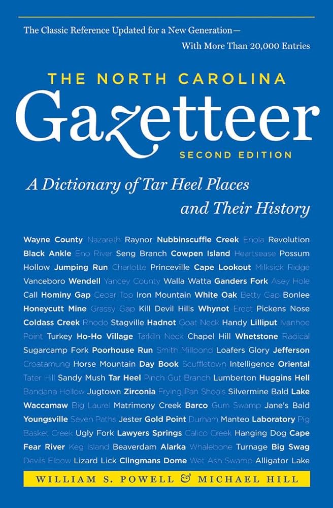
Some place names included in The North Carolina Gazetteer contain terms that are considered offensive.
Copyright Notice: This content is from the North Carolina Gazetteer, edited by William S. Powell and Michael Hill. Copyright © 2010 by the University of North Carolina Press. Used by permission of the publisher. For personal use and not for further distribution. Please submit permission requests for other use directly to the publisher.
"The North Carolina Gazetteer is a geographical dictionary in which an attempt has been made to list all of the geographic features of the state in one alphabet. It is current, and it is historical as well. Many features and places that no longer exist are included; many towns and counties for which plans were made but which never materialized are also included. Some names appearing on old maps may have been imaginary, but many of them also appear in this gazetteer.
Each entry is located according to the county in which it is found. I have not felt obliged to keep entries uniform. The altitude of a place, the date of incorporation of a city or town, may appear in the beginning of one entry and at the end of another. Some entries may appear more complete than others. I have included whatever information I could find. If there is no comment on the origin or meaning of a name, it is because the information was not available. In some cases, however, resort to an unabridged dictionary may suggest the meaning of many names."
--From The North Carolina Gazetteer, 1st edition, preface by William S. Powell
| Place | Description |
|---|---|
| Walkers Bluff |
on Cape Fear River in E Bladen County 5 mi. above White Hall Landing. |
| Walkers Branch |
rises in SW Yadkin County and flows E into North Hunting Creek. |
| Walkers Creek |
rises in N Swain County in Great Smoky Mountains National Park on the S slope of Mount Davis and flows S on the E side of Locust Ridge into Hazel Creek. |
| Walkersburg |
town in SE Brunswick County at Deep Water Point. Est. 1784 on lands of John Walker, for whom it was named. Courthouse and other public buildings were to be est. there but apparently never built. |
| Walkersville |
community in S central Union County on the E side of Cane Creek. Formerly known as Wilson's Old Store community. Shown on maps as Walkersville as early as 1886. |
| Walkertown |
community in NE Buncombe County. |
| Walkeys |
community in SW Union County. |
| Walks, The |
series of immovable natural stepping stones below Flat Shoals of Watauga River near the Tennessee line in NW Watauga County. They are regularly placed across the river, and one may walk over them even when the stream is swollen, hence the name. |
| Walkup |
community in SW Union County served by post office, 1885-1908. Also spelled Wauchope. William R. Davie's assault on Tories took place, 1780, on Wauchope plantation. |
| Walla Watta |
community in N central Beaufort County, lat. 35°35' N., long. 76°52'15" W. Named by Surry Parker, local lumberman, for Wallace and Waters families, who lived here. Alt. 34. |