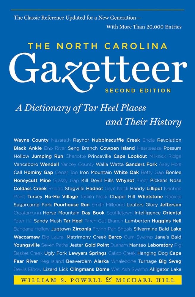
This content is from the North Carolina Gazetteer, edited by William S. Powell and Michael Hill. Copyright © 2010 by the University of North Carolina Press. Used by permission of the publisher. For personal use and not for further distribution. Please submit permission requests for other use directly to the publisher.

Some place names included in The North Carolina Gazetteer contain terms that are considered offensive.

"The North Carolina Gazetteer is a geographical dictionary in which an attempt has been made to list all of the geographic features of the state in one alphabet. It is current, and it is historical as well. Many features and places that no longer exist are included; many towns and counties for which plans were made but which never materialized are also included. Some names appearing on old maps may have been imaginary, but many of them also appear in this gazetteer.

Each entry is located according to the county in which it is found. I have not felt obliged to keep entries uniform. The altitude of a place, the date of incorporation of a city or town, may appear in the beginning of one entry and at the end of another. Some entries may appear more complete than others. I have included whatever information I could find. If there is no comment on the origin or meaning of a name, it is because the information was not available. In some cases, however, resort to an unabridged dictionary may suggest the meaning of many names."

--From The North Carolina Gazetteer, 1st edition, preface by William S. Powell
Alphabetical Glossary Filter

"
3
A
B
C
D
E
F
G
H
I
J
K
L
M
N
O
P
Q
R
S
T
U
V
W
X
Y
Z
Place Description
Clun Seat

10,000-acre estate in SE Warren County between Great Fishing and Shocco Creeks. Granted to Edward Moseley in 1728, and after his death in 1749, sold by his sons to Joseph Montfort. Mentioned in local records as late as 1765. Probably named for the Clun River or the town of Clun in England.

Cluster

community in S Mecklenburg County served by post office, 1893-1903. Successor to Maxwell's Store, which see.

Clyde

town in central Haywood County. Inc. 1889. Named for a member of a firm of railroad construction engineers. Known previously as Lower Pigeon. Alt. 2,539.

Clyde Township

central Haywood County.

Coahoma

community in NE Lenoir County served by post office, 1888-1902.

Coakley

town in E Edgecombe County. Inc. 1903, but not now active in municipal affairs.

Coalglen

community in S Chatham County on Deep River. Known earlier as Farmville. Site of former Carolina Coal Mine, from which the name is derived.

Coalville

community in NE Cherokee County in Nantahala National Forest.

Coastal Plain

E North Carolina, extends inland from the Atlantic Ocean 100 to 150 mi. to the fall line of the rivers. The W limit extends from Northampton and Halifax Counties on the N in a SW direction through Anson County on the S. In altitude the area ranges from sea level to approx. 500 ft. Generally the soil is sand and black loam. See also Tidewater Area.

Coats

town in E Harnett County. Inc. 1905 and named for Elder Tom Coats. Previously known as Troyville for a Fayetteville lawyer. Alt. 314.