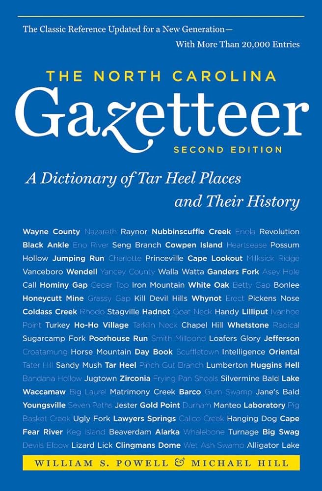
This content is from the North Carolina Gazetteer, edited by William S. Powell and Michael Hill. Copyright © 2010 by the University of North Carolina Press. Used by permission of the publisher. For personal use and not for further distribution. Please submit permission requests for other use directly to the publisher.

Some place names included in The North Carolina Gazetteer contain terms that are considered offensive.

"The North Carolina Gazetteer is a geographical dictionary in which an attempt has been made to list all of the geographic features of the state in one alphabet. It is current, and it is historical as well. Many features and places that no longer exist are included; many towns and counties for which plans were made but which never materialized are also included. Some names appearing on old maps may have been imaginary, but many of them also appear in this gazetteer.

Each entry is located according to the county in which it is found. I have not felt obliged to keep entries uniform. The altitude of a place, the date of incorporation of a city or town, may appear in the beginning of one entry and at the end of another. Some entries may appear more complete than others. I have included whatever information I could find. If there is no comment on the origin or meaning of a name, it is because the information was not available. In some cases, however, resort to an unabridged dictionary may suggest the meaning of many names."

--From The North Carolina Gazetteer, 1st edition, preface by William S. Powell
Alphabetical Glossary Filter

"
3
A
B
C
D
E
F
G
H
I
J
K
L
M
N
O
P
Q
R
S
T
U
V
W
X
Y
Z
Place Description
Cone Memorial Park

See Moses H. Cone Memorial Park.

Coneat

See Coniott Landing.

Coneby Creek

See Conaby Creek.

Coneghta

See Conetoe.

Conetoe (cuh-NEAT-uh)

town in SE Edgecombe County, inc. 1887. Known earlier as Warren's Station. Named for nearby Conetoe Creek. Produces tobacco, cotton, and peanuts. Alt. 49.

Conetoe Creek

rises in E Edgecombe County and flows s, where it forms a part of the Edgecombe-Pitt county line. It then flows S and SW into Tar River in Pitt County. The Collet map, 1770, shows Great Coneghta Pocosin as a swampy area on the W side of present-day Conetoe Creek in Edgecombe County. The name appears in county records as early as 1745.

Coney Creek

rises in SE Caswell County near Ridgeville and flows N into North Hyco Creek. Coney is an old word for rabbit.

Coneyhoe Creek

See Conoho Creek.

Confederate Memorial Forest

in Pisgah National Forest along the Haywood-Transylvania county line on the West Fork Pigeon River and the Blue Ridge Parkway. Dedicated July 12, 1942. Sponsored by the N.C. United Daughters of the Confederacy, the forest contains 125 acres planted with 125,000 red spruce and balsam trees.

Cong Branch

rises in W Sampson County and flows S into Little Coharie Creek.