This content is from the North Carolina Gazetteer, edited by William S. Powell and Michael Hill. Copyright © 2010 by the University of North Carolina Press. Used by permission of the publisher. For personal use and not for further distribution. Please submit permission requests for other use directly to the publisher.

Some place names included in The North Carolina Gazetteer contain terms that are considered offensive.
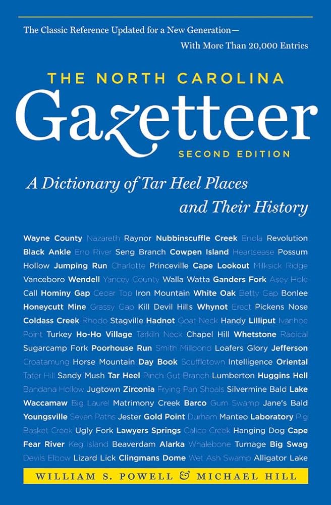
"The North Carolina Gazetteer is a geographical dictionary in which an attempt has been made to list all of the geographic features of the state in one alphabet. It is current, and it is historical as well. Many features and places that no longer exist are included; many towns and counties for which plans were made but which never materialized are also included. Some names appearing on old maps may have been imaginary, but many of them also appear in this gazetteer.

Each entry is located according to the county in which it is found. I have not felt obliged to keep entries uniform. The altitude of a place, the date of incorporation of a city or town, may appear in the beginning of one entry and at the end of another. Some entries may appear more complete than others. I have included whatever information I could find. If there is no comment on the origin or meaning of a name, it is because the information was not available. In some cases, however, resort to an unabridged dictionary may suggest the meaning of many names."

--From The North Carolina Gazetteer, 1st edition, preface by William S. Powell

Alphabetical Glossary Filter

"
3
A
B
C
D
E
F
G
H
I
J
K
L
M
N
O
P
Q
R
S
T
U
V
W
X
Y
Z
Place Description
Deerstand Creek

rises in NW McDowell County on the S slope of Woods Mountain and flows S into Slim Creek.

Deets

community in W Jackson County served by post office, 1900-1913.

Defeat Branch

rises in N Swain County in Great Smoky Mountains National Park and flows SW to join Roaring Creek in forming Bone Valley Creek. Named after an early hunter there had his shoes burned in the campfire while he slept during a snowstorm.

Defeat Knob

on the Cherokee-Clay county line in the Valley River Mountains.

Dehart

community in N Wilkes County near North Prong Roaring River.

Del Mar Beach

SE Pender County on the Atlantic Ocean side of Topsail Island.

Delco

town in NE Columbus County. The site was first known as Brinkly when it was a stop on the Wilmington, Columbia, and Augusta Rail Road. Inc. 1913 as New Berlin when Hugh MacRae of Wilmington attempted to attract German colonists to work surrounding farmlands. In 1918, during World War I, the name was changed to Pershing in honor of Gen. John J. Pershing. After about six months, for an unknown reason, it became necessary to change the name. Delco was chosen because the Delco Light Plant Company had just installed a lighting system in the local high school. Alt. 50.

Delight

See Lattimore.

Delightful Plains

is shown on the Moseley map, 1733, as extending from the present Big Bay of Bladen County SE and parallel with the present Brown Marsh Swamp.

Delk

community in W Forsyth County served by post office, 1889-1907.