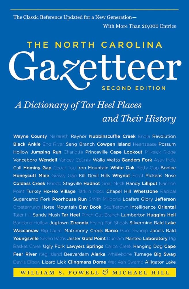
This content is from the North Carolina Gazetteer, edited by William S. Powell and Michael Hill. Copyright © 2010 by the University of North Carolina Press. Used by permission of the publisher. For personal use and not for further distribution. Please submit permission requests for other use directly to the publisher.

Some place names included in The North Carolina Gazetteer contain terms that are considered offensive.

"The North Carolina Gazetteer is a geographical dictionary in which an attempt has been made to list all of the geographic features of the state in one alphabet. It is current, and it is historical as well. Many features and places that no longer exist are included; many towns and counties for which plans were made but which never materialized are also included. Some names appearing on old maps may have been imaginary, but many of them also appear in this gazetteer.

Each entry is located according to the county in which it is found. I have not felt obliged to keep entries uniform. The altitude of a place, the date of incorporation of a city or town, may appear in the beginning of one entry and at the end of another. Some entries may appear more complete than others. I have included whatever information I could find. If there is no comment on the origin or meaning of a name, it is because the information was not available. In some cases, however, resort to an unabridged dictionary may suggest the meaning of many names."

--From The North Carolina Gazetteer, 1st edition, preface by William S. Powell
Alphabetical Glossary Filter

"
3
A
B
C
D
E
F
G
H
I
J
K
L
M
N
O
P
Q
R
S
T
U
V
W
X
Y
Z
Place Description
Dismal Bay

sand-filled bay in S Sampson County N of Keiths Bay. See also Carolina Bays.

Dismal Branch

rises in S Johnston County and flows SE into Johnson Swamp.

Dismal Cove

SW Macon County at the head of Pat Stable Branch.

Dismal Creek

rises in W Henderson County and flows NW into Crab Creek.

Dismal Mountain

E Jackson County, extends NE from Tuckasegee River to Neddie Creek.

Dismal Swamp

marsh, lake, and cypress-filled area approx. 30 mi. long and 10 mi. wide, largely in SE Virginia but partially in Gates, Pasquotank, Camden, and Currituck Counties. Appears on the Dudley map, 1647, as "Terra Bassa" (low land) and on the Comberford map, 1657, as "a swampy wilderness." Present name might have been known as early as 1715, when the term "dismal swamp" was applied to the Pasquotank County area by John Talbot in a letter to John Urmston, a missionary to the colony for the Society for the Propagation of the Gospel. Shown on the Moseley map, 1733, as Great Dismal Swamp (the name it is sometimes called today) and as Dismal Swamp on the Mitchell map, 1755. George Washington initiated surveys in 1763 for a canal. The Intracoastal Waterway now passes through the swamp. Also called The Desert in North Carolina.

Dismal Swamp Canal

connects the waters of Elizabeth River in Virginia with those of the Pasquotank River. It flows from the state line through NW Camden County. The Intracoastal Waterway is routed through the canal, and there are locks on the W borders of South Mills.

Dismal Township

NW Sampson County.

District of Washington

in the W territory of North Carolina that is now Tennessee; it developed from the Watauga Settlement, which see, and was recognized by North Carolina in 1776. Delegates attended the Provincial Congress at Halifax in November 1776. The district was the second place in America to be named for George Washington. In 1777 Washington County was formed from the district, and Jonesboro became the county seat. The district was a part of the area ceded by North Carolina in 1789 to the federal government. See also Franklin.

Ditch Branch

rises in S Wake County and flows S into W Johnston County, where it enters Middle Creek.