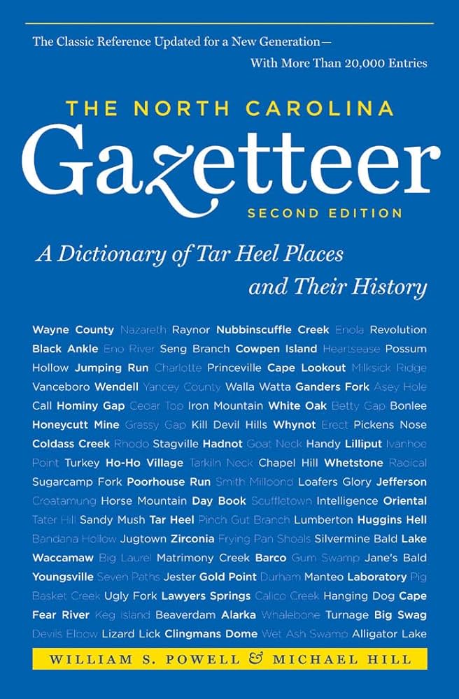
This content is from the North Carolina Gazetteer, edited by William S. Powell and Michael Hill. Copyright © 2010 by the University of North Carolina Press. Used by permission of the publisher. For personal use and not for further distribution. Please submit permission requests for other use directly to the publisher.

Some place names included in The North Carolina Gazetteer contain terms that are considered offensive.

"The North Carolina Gazetteer is a geographical dictionary in which an attempt has been made to list all of the geographic features of the state in one alphabet. It is current, and it is historical as well. Many features and places that no longer exist are included; many towns and counties for which plans were made but which never materialized are also included. Some names appearing on old maps may have been imaginary, but many of them also appear in this gazetteer.

Each entry is located according to the county in which it is found. I have not felt obliged to keep entries uniform. The altitude of a place, the date of incorporation of a city or town, may appear in the beginning of one entry and at the end of another. Some entries may appear more complete than others. I have included whatever information I could find. If there is no comment on the origin or meaning of a name, it is because the information was not available. In some cases, however, resort to an unabridged dictionary may suggest the meaning of many names."

--From The North Carolina Gazetteer, 1st edition, preface by William S. Powell
Alphabetical Glossary Filter

"
3
A
B
C
D
E
F
G
H
I
J
K
L
M
N
O
P
Q
R
S
T
U
V
W
X
Y
Z
Place Description
Folly Creek

rises in W Henderson County and flows NW into Little Willow Creek.

Folly Fork

community in NE Gates County. Folly post office est. prior to 1828. Frequently in the seventeenth and eighteenth centuries, the word folly was used in the sense of the French folie (delight; favorite abode) and it formed a part of the name of English estates.

Folly Swamp

rises in NE Gates County and flows E into Dismal Swamp.

Fonta Flora

See Flora.

Fontana

former community in NW Swain County, est. 1902 by employees of Montvale Lumber Co. The site is now covered by the waters of Fontana Lake, which see. Said to have been named by Mrs. George Leidy Wood, wife of an official of the lumber company, because it was "a short word, musical, easy to spell," and it reminded her of "the waterfalls that looked like fountains, leaping from ledge to ledge" in the nearby forest.

Fontana Lake

N Graham and W and central Swain Counties on Little Tennessee River and its tributaries. Forms the S boundary of the Great Smoky Mountains National Park. Dam begun in 1941, completed in 1945, forms the lake, largest of the Tennessee Valley Authority system. Max. depth 480 ft. The lake, 30 mi. long, has a shoreline of 248 mi. and covers 10,530 acres at full lake. Provides flood control, electric power, and recreation facilities. The dam there is the highest in E America. Alt. 1,710. See also Fontana and Fontana Village.

Fontana Village

resort community in N Graham County in Welch Cove near Fontana Lake. Alt. 1,800. Built in 1941 as a construction village for the employees of Fontana Dam. After the dam was completed, it was leased to a private corporation for development as a resort. See also Welch Cove.

Fontcal

See Wagram.

Fontena

formerly the plantation of the Baker family, located between Little Fishing Creek and Reedy Creek near the community of Grove Hill, S Warren County. The plantation house, no longer standing, was built in 1790 by Judge Blake Baker, attorney general of North Carolina in 1794. In 1816 the library at Fontena was described as the finest in the state.

Fonville

community in S Harnett County.