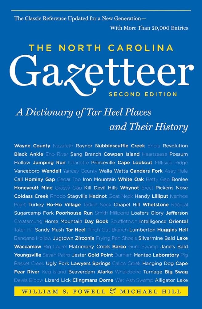
This content is from the North Carolina Gazetteer, edited by William S. Powell and Michael Hill. Copyright © 2010 by the University of North Carolina Press. Used by permission of the publisher. For personal use and not for further distribution. Please submit permission requests for other use directly to the publisher.

Some place names included in The North Carolina Gazetteer contain terms that are considered offensive.

"The North Carolina Gazetteer is a geographical dictionary in which an attempt has been made to list all of the geographic features of the state in one alphabet. It is current, and it is historical as well. Many features and places that no longer exist are included; many towns and counties for which plans were made but which never materialized are also included. Some names appearing on old maps may have been imaginary, but many of them also appear in this gazetteer.

Each entry is located according to the county in which it is found. I have not felt obliged to keep entries uniform. The altitude of a place, the date of incorporation of a city or town, may appear in the beginning of one entry and at the end of another. Some entries may appear more complete than others. I have included whatever information I could find. If there is no comment on the origin or meaning of a name, it is because the information was not available. In some cases, however, resort to an unabridged dictionary may suggest the meaning of many names."

--From The North Carolina Gazetteer, 1st edition, preface by William S. Powell
Alphabetical Glossary Filter

"
3
A
B
C
D
E
F
G
H
I
J
K
L
M
N
O
P
Q
R
S
T
U
V
W
X
Y
Z
Place Description
Fort Fisher

State Historic Site and former Confederate fort at the S tip of New Hanover County. Construction began in April 1861 under direction of Capt. Charles P. Bolles, who was soon transferred. The first section of the fort was named Battery Bolles. Upon completion, the fort—constructed of sand, palmetto logs, and railroad iron—was named for Capt. Charles F. Fisher (1816-61), who had been killed at the Battle of First Manassas while commanding North Carolina troops. Fort Fisher controlled the Cape Fear River and kept the port of Wilmington open. The fort was bombarded from the sea on December 23-25, 1864, and January 12-13, 1865. It fell on January 15. During World War II, the site was used in connection with coastal defense. Restoration and development as a State Historic Site began in 1960.

Fort Fisher Junction

community in S New Hanover County. Prior to 1957, when the name was changed by the county commissioners, the community was known as Monkey Junction because the proprietor of a store there once owned a great many monkeys.

Fort Hamby

a name applied to a log house fortified in 1865 at the end of the Civil War by deserters from the Union Army. Named for a woman, apparently of evil repute, who formerly owned the house. Located in SW Wilkes County near the mouth of Lewis Fork Creek in Yadkin River, it provided refuge for a band of armed men who robbed and murdered the residents of several counties. A group of local citizens, including a number of former Confederate soldiers, attacked the "fort," set it on fire, and captured a number of the men. Some were shot during the attack and others were tried and sentenced to prison.

Fort Hampton

See Fort Macon.

Fort Hembree

See Hayesville.

Fort Hill

former Confederate batteries on the Pamlico River, E central Beaufort County, which enabled Gen. D. H. Hill's forces to besiege Washington, N.C., in the spring of 1863.

Fort Island

a large sandy area in Big Pocosin in SW Gates County about 1 mi. N of Chowan River. Named for George Fort.

Fort Johnston

was located at the present town of Southport, SE Brunswick County. Built 1748-64 and named for Gov. Gabriel Johnston (1699-1752); burned by Whigs, 1775. Rebuilt by U.S. government, 1794-1809. Seized by Confederate forces in 1861 and used in the Civil War. Only the officers’ quarters remain.

Fort Lamb

small battery below Fort Anderson on Price Creek in SE Brunswick County. Named for Col. William Lamb (1835-1909) of Fort Fisher.

Fort Landing

NE Tyrrell County at the mouth of Alligator Creek. Believed to be the oldest settlement in Tyrrell County, but date unknown. Said to have been named for an old fort that stood near the Alligator Creek landing. The Price map, 1808, shows Warington at the approx. location. Appears as Port Landing on the MacRae map, 1833, but as Fort Landing on subsequent maps.