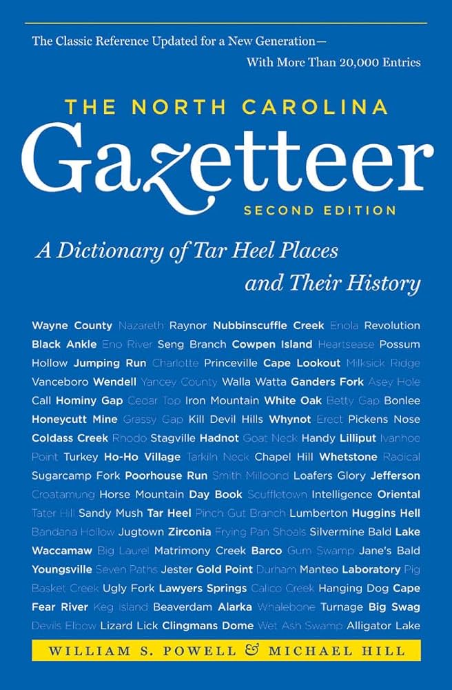
This content is from the North Carolina Gazetteer, edited by William S. Powell and Michael Hill. Copyright © 2010 by the University of North Carolina Press. Used by permission of the publisher. For personal use and not for further distribution. Please submit permission requests for other use directly to the publisher.

Some place names included in The North Carolina Gazetteer contain terms that are considered offensive.

"The North Carolina Gazetteer is a geographical dictionary in which an attempt has been made to list all of the geographic features of the state in one alphabet. It is current, and it is historical as well. Many features and places that no longer exist are included; many towns and counties for which plans were made but which never materialized are also included. Some names appearing on old maps may have been imaginary, but many of them also appear in this gazetteer.

Each entry is located according to the county in which it is found. I have not felt obliged to keep entries uniform. The altitude of a place, the date of incorporation of a city or town, may appear in the beginning of one entry and at the end of another. Some entries may appear more complete than others. I have included whatever information I could find. If there is no comment on the origin or meaning of a name, it is because the information was not available. In some cases, however, resort to an unabridged dictionary may suggest the meaning of many names."

--From The North Carolina Gazetteer, 1st edition, preface by William S. Powell
Alphabetical Glossary Filter

"
3
A
B
C
D
E
F
G
H
I
J
K
L
M
N
O
P
Q
R
S
T
U
V
W
X
Y
Z
Place Description
Goodwin Creek

rises in W Perquimans County and flows E into Perquimans River. Named for Caleb Goodwin, who operated a mill on the creek about 1820. Appears as Cypress Swamp on the Moseley map, 1733, and generally known as Cypress Creek until renamed for the miller. Appears as Goodings Creek on the 1905 soil-survey map.

Goodwin Forest

central Moore County, a tract of 1,122 acres owned by James L. Goodwin from 1930 until his death in 1967, when it was given to North Carolina State University for use in education, research, and recreation. Net proceeds are used for scholarships. Pine and hardwoods grow in the forest.

Goodwin Hills

community on N Cedar Island in NE Carteret County.

Goodwin Mill Pond

approx. 1½ mi. long, on Goodwin Creek, W Perquimans County.

Goose Bay

off the SE end of the largest island in the Hog Island group, NE Carteret County.

Goose Bay Point

at the S tip of the largest island in the Hog Island group, NE Carteret County.

Goose Branch

rises in E Nash County and flows SE into Tar River.

Goose Creek

rises in E Mecklenburg County and flows SE into Union County, where it turns NE to enter Rocky River.

Goose Creek Island

the NE neck of Pamlico County cut off from the mainland by the Intracoastal Waterway. Near the end of the nineteenth century, Goose Creek Island post office served the area. The North Carolina Wildlife Resources Commission maintains the Goose Creek Wildlife Management Area of 5,865 acres W of the Intracoastal Waterway in Beaufort and Pamlico Counties. See also Greens Land.

Goose Creek State Park

Beaufort County. Opened to the public, September 1974. The park covers 1,327 acres and fronts Pamlico River. Features six hiking trails.