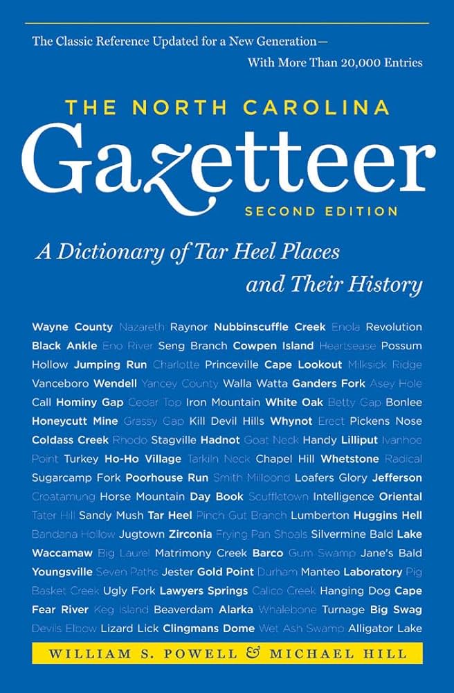
This content is from the North Carolina Gazetteer, edited by William S. Powell and Michael Hill. Copyright © 2010 by the University of North Carolina Press. Used by permission of the publisher. For personal use and not for further distribution. Please submit permission requests for other use directly to the publisher.

Some place names included in The North Carolina Gazetteer contain terms that are considered offensive.

"The North Carolina Gazetteer is a geographical dictionary in which an attempt has been made to list all of the geographic features of the state in one alphabet. It is current, and it is historical as well. Many features and places that no longer exist are included; many towns and counties for which plans were made but which never materialized are also included. Some names appearing on old maps may have been imaginary, but many of them also appear in this gazetteer.

Each entry is located according to the county in which it is found. I have not felt obliged to keep entries uniform. The altitude of a place, the date of incorporation of a city or town, may appear in the beginning of one entry and at the end of another. Some entries may appear more complete than others. I have included whatever information I could find. If there is no comment on the origin or meaning of a name, it is because the information was not available. In some cases, however, resort to an unabridged dictionary may suggest the meaning of many names."

--From The North Carolina Gazetteer, 1st edition, preface by William S. Powell
Alphabetical Glossary Filter

"
3
A
B
C
D
E
F
G
H
I
J
K
L
M
N
O
P
Q
R
S
T
U
V
W
X
Y
Z
Place Description
Guffy Branch

rises in S Wake County and flows S into Ditch Branch.

Guide

community in S Columbus County.

Guilders Creek

rises in N central Yancey County on N slopes of Rocky Knob and Phillips Knob and flows NW into Jacks Creek.

Guilford

community in S central Beaufort County.

Guilford College

town in W central Guilford County. Quaker settlement founded 1750 and known as New Garden. Boarding school opened 1837; renamed Guilford College in 1888, at which time the community name also was changed. Chartered 1895. The college is now within the limits of the city of Greensboro. Alt. 949.

Guilford County

was formed in 1771 from Rowan and Orange Counties. Located in the N central section of the state, it is bounded by Alamance, Randolph, Davidson, Forsyth, and Rockingham Counties. It was named for Francis North, first Earl of Guilford (1704-90), member of Parliament and intimate personal friend of George III and Queen Charlotte. Area: 652 sq. mi. County seat: Greensboro, with an elevation of 838 ft. Townships are Bruce, Center Grove, Clay, Deep River, Fentress, Friendship, Gilmer, Greene, High Point, Jamestown, Jefferson, Madison, Monroe, Morehead, Oak Ridge, Rock Creek, Sumner, and Washington. Produces tobacco, corn, wheat, oats, barley, rye, sorghum, poultry, eggs, dairy products, livestock, hogs, horses, greenhouse products, flowers, textiles, paper boxes, strawberries, soybeans, fabricated metals, aircraft parts, cigarettes, electronics, appliances, pharmaceuticals, toys, lumber, chemicals, and corrugated boxes.

Guilford Courthouse

former county seat, central Guilford County. Est. 1774; chartered as Martinville, which see, 1785; abandoned 1808. Battle there on March 15, 1781, between American Gen. Nathanael Greene and British general Lord Charles Cornwallis; site now a National Military Park.

Guinea Mill Run

a stream, rises in N Currituck County and flows SE into Tull Creek. A part of Dismal Swamp drains into Guinea Mill Run.

Gul Island

See Great Island.

Gulden Creek

rises in SE Craven County and flows NW into Clubfoot Creek.