Some place names included in The North Carolina Gazetteer contain terms that are considered offensive.
Copyright Notice: This content is from the North Carolina Gazetteer, edited by William S. Powell and Michael Hill. Copyright © 2010 by the University of North Carolina Press. Used by permission of the publisher. For personal use and not for further distribution. Please submit permission requests for other use directly to the publisher.
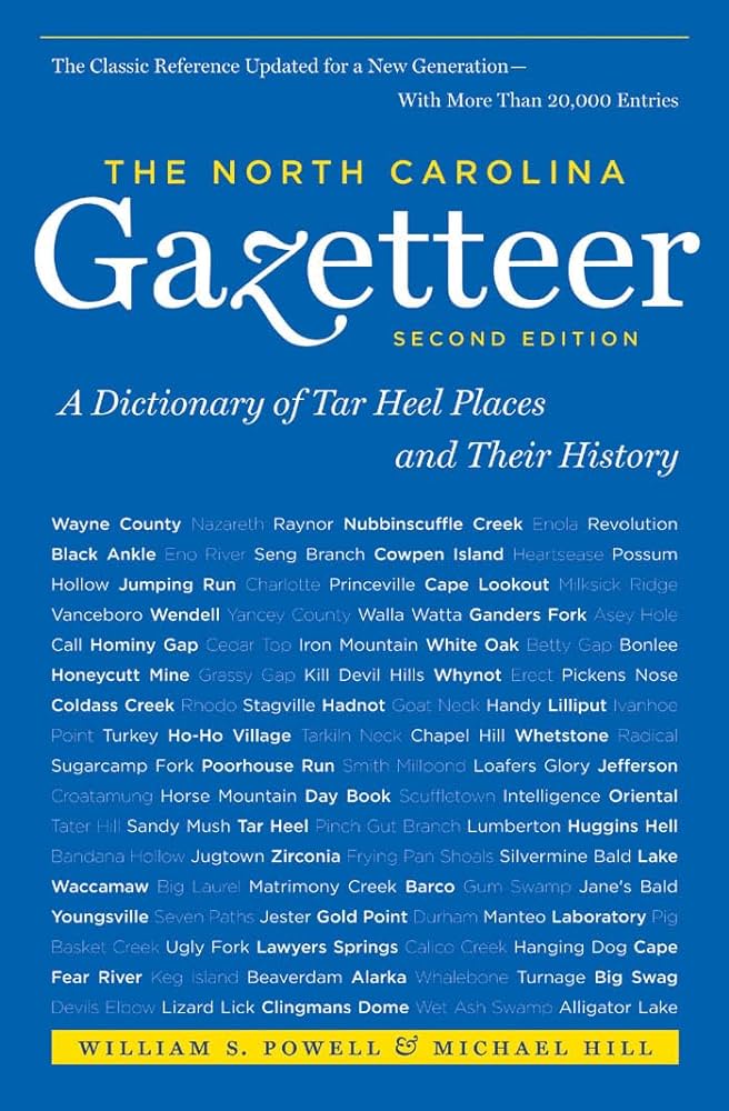
"The North Carolina Gazetteer is a geographical dictionary in which an attempt has been made to list all of the geographic features of the state in one alphabet. It is current, and it is historical as well. Many features and places that no longer exist are included; many towns and counties for which plans were made but which never materialized are also included. Some names appearing on old maps may have been imaginary, but many of them also appear in this gazetteer.
Each entry is located according to the county in which it is found. I have not felt obliged to keep entries uniform. The altitude of a place, the date of incorporation of a city or town, may appear in the beginning of one entry and at the end of another. Some entries may appear more complete than others. I have included whatever information I could find. If there is no comment on the origin or meaning of a name, it is because the information was not available. In some cases, however, resort to an unabridged dictionary may suggest the meaning of many names."
--From The North Carolina Gazetteer, 1st edition, preface by William S. Powell
| Place | Description |
|---|---|
| Fort Branch |
a Confederate fort at Rainbow Banks, NW Martin County. Built to prevent Union gunboats from going up the Roanoke River to Weldon to attack the railroad bridge. Earthworks remain. |
| Fort Branch |
rises in NW Bertie County and flows N into Hertford County where it enters Ahoskie Creek. |
| Fort Butler |
S Cherokee County, military installation where Gen. Winfield Scott, in command of U.S. forces, gathered Cherokee Indians before moving them west in 1838. |
| Fort Butler Mountain |
S Cherokee County S of Right Prong Martin Creek and W of Martin Creek. Named for the fort near the present town of Murphy, which see, where Gen. Winfield Scott, in command of U.S. forces, gathered the Cherokee Indians before moving them west in 1838. |
| Fort Caswell |
on the SE tip of Oak Island in SE Brunswick County. Begun by United States in 1826; seized by North Carolina troops in 1861 and abandoned by Confederates in 1865. Used also in Spanish-American War and both world wars. Well-preserved remains now in Baptist summer camp area. |
| Fort Clark |
Civil War fort on Cape Hatteras 1 mi. up the beach from Hatteras Inlet. It was laid out by William B. Thompson and construction started about July 1861. |
| Fort Creek |
rises in W Granville County and flows NE into Tar River. Shown on modern maps as Ford Creek. |
| Fort Creek |
rises in NE Caldwell County E of Fort Defiance and flows N into Yadkin River. |
| Fort Defiance |
NE Caldwell County. Home of William Lenoir, leader in Revolutionary War and public affairs; built 1788-92 and stands on site of frontier Fort Defiance. |
| Fort Dobbs |
See Fort Macon. |