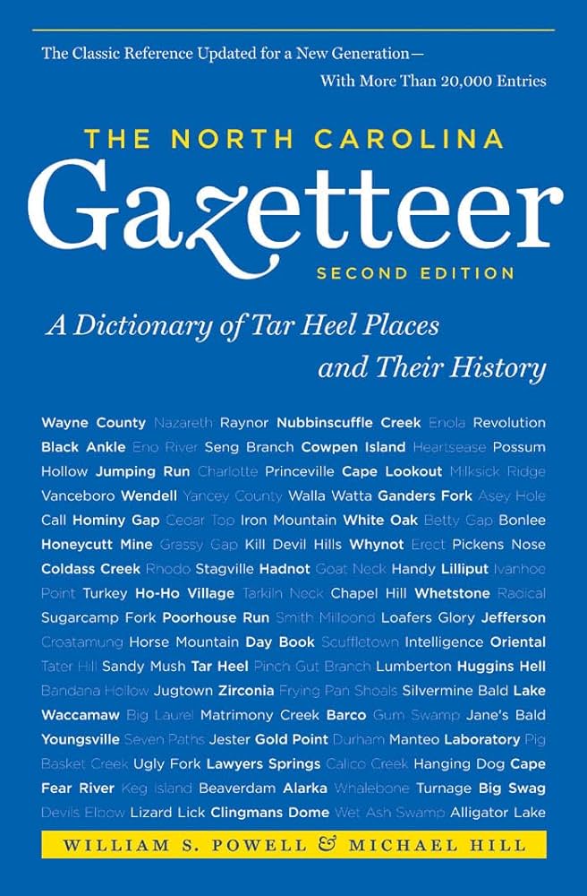
Some place names included in The North Carolina Gazetteer contain terms that are considered offensive.
Copyright Notice: This content is from the North Carolina Gazetteer, edited by William S. Powell and Michael Hill. Copyright © 2010 by the University of North Carolina Press. Used by permission of the publisher. For personal use and not for further distribution. Please submit permission requests for other use directly to the publisher.
"The North Carolina Gazetteer is a geographical dictionary in which an attempt has been made to list all of the geographic features of the state in one alphabet. It is current, and it is historical as well. Many features and places that no longer exist are included; many towns and counties for which plans were made but which never materialized are also included. Some names appearing on old maps may have been imaginary, but many of them also appear in this gazetteer.
Each entry is located according to the county in which it is found. I have not felt obliged to keep entries uniform. The altitude of a place, the date of incorporation of a city or town, may appear in the beginning of one entry and at the end of another. Some entries may appear more complete than others. I have included whatever information I could find. If there is no comment on the origin or meaning of a name, it is because the information was not available. In some cases, however, resort to an unabridged dictionary may suggest the meaning of many names."
--From The North Carolina Gazetteer, 1st edition, preface by William S. Powell
| Place | Description |
|---|---|
| Greenfield Lake |
a natural lake now within the limits of city of Wilmington, W New Hanover County. Covers 125 acres; max. depth 12 ft. Mentioned by name in the will of Dr. Samuel Green, original owner, about 1760. A municipal park and garden surround the lake. |
| Greenfield Ridge |
N Buncombe County between Eller Cove and Rattlesnake Ridge. |
| Greenland Creek |
rises in SE Jackson County and flows NW to join Panthertown Creek in forming Tuckasegee River. |
| Greenleaf |
community in central Wayne County served by post office, 1886-1912. |
| Greenlee |
community in S central McDowell County on Catawba River. Settled before the Revolution. |
| Greens Branch |
rises in N Columbus County and flows SE into West Prong Creek. |
| Greens Creek |
rises in SE Pamlico County and flows E into Neuse River. Appears as Powel's Creek on the Lawson map, 1709. Soon afterward it came to be known as Farnifold Green's Creek for Furnifold Green, who had a grant for 1,700 acres there in 1707. Green was killed by the Tuscarora Indians in 1714. |
| Greens Creek |
rises in SE Polk County and flows NE into Whiteoak Creek. |
| Greens Creek |
community in W Jackson County on Savannah Creek. Alt. 2,120. |
| Greens Creek |
rises in W Jackson County and flows E into Savannah Creek. |