Some place names included in The North Carolina Gazetteer contain terms that are considered offensive.
Copyright Notice: This content is from the North Carolina Gazetteer, edited by William S. Powell and Michael Hill. Copyright © 2010 by the University of North Carolina Press. Used by permission of the publisher. For personal use and not for further distribution. Please submit permission requests for other use directly to the publisher.
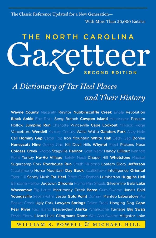
"The North Carolina Gazetteer is a geographical dictionary in which an attempt has been made to list all of the geographic features of the state in one alphabet. It is current, and it is historical as well. Many features and places that no longer exist are included; many towns and counties for which plans were made but which never materialized are also included. Some names appearing on old maps may have been imaginary, but many of them also appear in this gazetteer.
Each entry is located according to the county in which it is found. I have not felt obliged to keep entries uniform. The altitude of a place, the date of incorporation of a city or town, may appear in the beginning of one entry and at the end of another. Some entries may appear more complete than others. I have included whatever information I could find. If there is no comment on the origin or meaning of a name, it is because the information was not available. In some cases, however, resort to an unabridged dictionary may suggest the meaning of many names."
--From The North Carolina Gazetteer, 1st edition, preface by William S. Powell
| Place | Description |
|---|---|
| Havelock |
town in SE Craven County on Slocum Creek. Settled prior to 1857 and named in that year when the Atlantic and North Carolina Railroad from Goldsboro to Morehead City reached the area. Named for Sir Henry Havelock (1795-1857), British major general and noted Baptist layman who dramatically relieved British forces garrisoned at Lucknow, India, on September 25, 1857. Alt. 24. Cherry Point Marine Corps Air Station, which see, is adjacent. |
| Haw Branch |
rises in central Avery County and flows N into North Toe River. |
| Haw Branch |
rises in N Buncombe County near Cherry Log Gap and flows N into Dillingham Creek. |
| Haw Branch |
rises in SW Nash County and flows S into Turkey Creek. |
| Haw Branch |
community in NW Onslow County on New River. |
| Haw Branch |
rises in NW Beaufort County and flows SW into Tranters Creek. |
| Haw Cove |
SW Avery County. |
| Haw Creek |
rises in W Orange County and flows SW into Alamance County, where it enters Haw River. Appears as Jumping Run on the Moseley map, 1733. |
| Haw Creek |
rises in central Buncombe County and flows SW into Swannanoa River. Named in 1860 for the black haw bushes growing along its banks. |
| Haw Fields |
name given by traders in the early eighteenth century to the region occupied by Saxapahaw and Sissipahaw Indians between the Haw and Eno Rivers in what is now Alamance and Orange Counties. The Indians had left by the time the first white settlers arrived, and they called the region "Haw old fields," a name mentioned in 1728 by William Byrd. Haw Fields was used in 1736 in connection with a land grant there. Edward Moseley patented 10,000 acres of land in the region on November 6, 1728. |