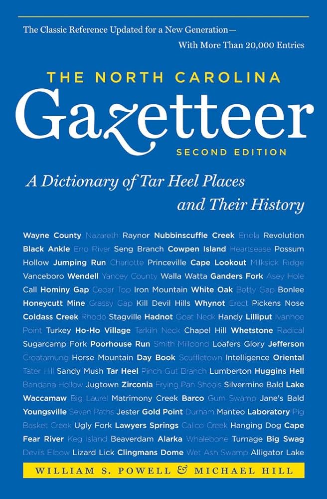
This content is from the North Carolina Gazetteer, edited by William S. Powell and Michael Hill. Copyright © 2010 by the University of North Carolina Press. Used by permission of the publisher. For personal use and not for further distribution. Please submit permission requests for other use directly to the publisher.

Some place names included in The North Carolina Gazetteer contain terms that are considered offensive.

"The North Carolina Gazetteer is a geographical dictionary in which an attempt has been made to list all of the geographic features of the state in one alphabet. It is current, and it is historical as well. Many features and places that no longer exist are included; many towns and counties for which plans were made but which never materialized are also included. Some names appearing on old maps may have been imaginary, but many of them also appear in this gazetteer.

Each entry is located according to the county in which it is found. I have not felt obliged to keep entries uniform. The altitude of a place, the date of incorporation of a city or town, may appear in the beginning of one entry and at the end of another. Some entries may appear more complete than others. I have included whatever information I could find. If there is no comment on the origin or meaning of a name, it is because the information was not available. In some cases, however, resort to an unabridged dictionary may suggest the meaning of many names."

--From The North Carolina Gazetteer, 1st edition, preface by William S. Powell
Alphabetical Glossary Filter

"
3
A
B
C
D
E
F
G
H
I
J
K
L
M
N
O
P
Q
R
S
T
U
V
W
X
Y
Z
Place Description
Lacys Creek

rises in NW Chatham County and flows NE into Rocky River.

Ladd Branch

rises in central Cherokee County and flows W into Parsons Branch.

Ladonia

community in NW Surry County on Fisher River.

Lagoon, The

S Buncombe County, is separated from the French Broad River by a narrow strip of land S of city of Asheville near the Biltmore Estate.

LaGrange

town in NW Lenoir County. Known as Rantersville and Moseley Hall prior to 1869, when it was inc. as LaGrange after Lafayette's estate near Paris. Moseley Hall had been the plantation name given by Thomas Moseley of Virginia, who settled there before the Revolution. William Dunn Moseley (1795-1863), first governor of the state of Florida, was born there. Produces trailers, tobacco trucks, and cotton gins. Alt. 113. See also Moseley County.

Lake Adger

in N central Polk County on Green River. Built by Blue Ridge Power Company in 1925 and known as Turners Lake for nearby Turners Shoals. Duke Power Company bought the hydroelectric plant and water rights in 1927 and later renamed the lake, likely for John B. Adger, who was active in power development on Broad River in South Carolina. Covers 438 acres, with a max. depth of 86 ft. Used to generate hydroelectric power.

Lake Ashnoca

central Buncombe County on Ragsdale Creek. The property of the Asheville School, it covers 27 acres.

Lake Bay

community in SE Moore County on Carrolls Branch. Formerly known as Hog Island.

Lake Benson

in S Wake County on Swift Creek. Formed in 1925 and named Rands Mill Pond for owners. Later renamed for B. B. Benson, former Raleigh city councilman. Covers 490 acres and has max. depth of 19 ft. Enlarged in 1951. Used as reservoir and for fishing.

Lake Brandt

an artificial lake in central Guilford County on Reedy Fork Creek. Max. depth 25 ft. Covers 400 acres. Formed in 1920 and named for former Greensboro mayor Leon J. Brandt (1874-1920). Municipal water supply for Greensboro and owned by the city.