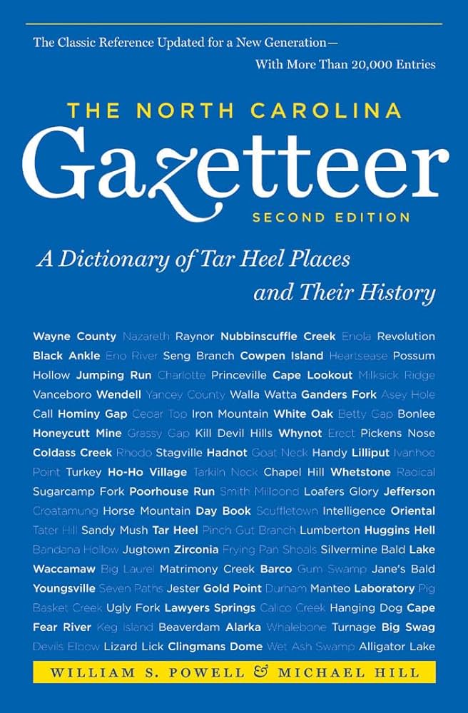
This content is from the North Carolina Gazetteer, edited by William S. Powell and Michael Hill. Copyright © 2010 by the University of North Carolina Press. Used by permission of the publisher. For personal use and not for further distribution. Please submit permission requests for other use directly to the publisher.

Some place names included in The North Carolina Gazetteer contain terms that are considered offensive.

"The North Carolina Gazetteer is a geographical dictionary in which an attempt has been made to list all of the geographic features of the state in one alphabet. It is current, and it is historical as well. Many features and places that no longer exist are included; many towns and counties for which plans were made but which never materialized are also included. Some names appearing on old maps may have been imaginary, but many of them also appear in this gazetteer.

Each entry is located according to the county in which it is found. I have not felt obliged to keep entries uniform. The altitude of a place, the date of incorporation of a city or town, may appear in the beginning of one entry and at the end of another. Some entries may appear more complete than others. I have included whatever information I could find. If there is no comment on the origin or meaning of a name, it is because the information was not available. In some cases, however, resort to an unabridged dictionary may suggest the meaning of many names."

--From The North Carolina Gazetteer, 1st edition, preface by William S. Powell
Alphabetical Glossary Filter

"
3
A
B
C
D
E
F
G
H
I
J
K
L
M
N
O
P
Q
R
S
T
U
V
W
X
Y
Z
Place Description
Lake Phelps

natural freshwater lake in E Washington County and W Tyrrell County, the bed of which is thought to have been formed by the impact of a meteor. The lake surface covers 16,600 acres, with a max. depth of 12 ft.; mean alt. 10 ft. Owned by the state of North Carolina and included in Pettigrew State Park, which see. Said to have been named for Josiah Phelps, one of a group of explorers who discovered it in 1775. Known for a while as Scuppernong Lake and appears as such on the Collet map, 1770. Used for fishing, swimming, and boating.

Lake Point

point of land on the SW tip of Durant Island, central Dare County.

Lake Raleigh

in central Wake County on Walnut Creek. Formed in 1900. Covers 72 acres and has max. depth of 25 ft. Used for municipal water supply.

Lake Reidsville

in Rockingham County on Troublesome Creek. Built in 1972 to serve as part of Reidsville's water supply and for recreational activities such as fishing, waterskiing, and camping. Covers 750 acres.

Lake Rogers

See Creedmoor Lake.

Lake Run

flows S from Little Singletary Lake, NE Bladen County, into Ellis Creek.

Lake Santeetlah

See Santeetlah Lake.

Lake Sapphire

central Transylvania County on Allison Creek approx. 1½ mi. N of town of Brevard. Covers 3 acres, with a max. depth of 30 ft. Used for recreation. See also Sapphire Lake.

Lake Scuppernong

See Lake Phelps.

Lake Sequoyah

SE Macon County at the head of Cullasaja River. Formed about 1920. Covers approx. 150 acres, with a max. depth of 40 ft. Owned by the town of Highlands and used as a source of power and for swimming, fishing, boating, and skating. Named for Sequoyah (1770?-1843), Indian teacher.