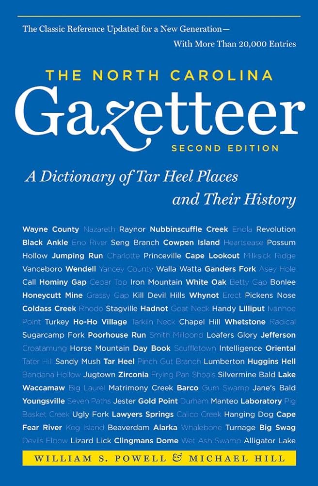
This content is from the North Carolina Gazetteer, edited by William S. Powell and Michael Hill. Copyright © 2010 by the University of North Carolina Press. Used by permission of the publisher. For personal use and not for further distribution. Please submit permission requests for other use directly to the publisher.

Some place names included in The North Carolina Gazetteer contain terms that are considered offensive.

"The North Carolina Gazetteer is a geographical dictionary in which an attempt has been made to list all of the geographic features of the state in one alphabet. It is current, and it is historical as well. Many features and places that no longer exist are included; many towns and counties for which plans were made but which never materialized are also included. Some names appearing on old maps may have been imaginary, but many of them also appear in this gazetteer.

Each entry is located according to the county in which it is found. I have not felt obliged to keep entries uniform. The altitude of a place, the date of incorporation of a city or town, may appear in the beginning of one entry and at the end of another. Some entries may appear more complete than others. I have included whatever information I could find. If there is no comment on the origin or meaning of a name, it is because the information was not available. In some cases, however, resort to an unabridged dictionary may suggest the meaning of many names."

--From The North Carolina Gazetteer, 1st edition, preface by William S. Powell
Alphabetical Glossary Filter

"
3
A
B
C
D
E
F
G
H
I
J
K
L
M
N
O
P
Q
R
S
T
U
V
W
X
Y
Z
Place Description
Lobelia

community in SE Moore County.

Loch Lily

lake on Storys Creek, NW Person County. Formed prior to 1928 and known first as Barnetts Pond, later as Lake Chub, and finally by its present name. Covers 94 acres; max. depth 12 ft.

Locke Mills

See Forest Hill.

Locke Township

central Rowan County. Named for Gen. Matthew Locke (1730-1801), statesman and patriot, who lived there.

Locketts Island

a clay loam island approx. 1 mi. long in Roanoke River, W Northampton County.

Lockhart Mill

See Hoggard's Mill.

Lockport

community in SE Chatham County on Deep River W of Moncure. An earlier post office there was known as Lockville. Site of locks of Cape Fear and Deep River Navigation Co.; Progress Energy has a small power plant there that uses the lock canal as a mill race. At Ramsey's Mill there, following the Battle of Guilford Courthouse in 1781, the British general, Lord Cornwallis, built a bridge over Deep River.

Locks Creek

rises in E central Cumberland County and flows SW and S into Cape Fear River. See also Lords Creek.

Lockville

See Lockport.

Lockwoods Folly Inlet

between Holden Beach and Long Beach, through which Lockwoods Folly River flows into Long Bay of the Atlantic Ocean, S central Brunswick County. Appears on the Ogilby map, 1671. The name is derived from a man named Lockwood, who built a fine boat up Lockwoods Folly River but discovered that it was too large to float into the Atlantic through the inlet. He was forced to abandon his boat, and it eventually fell to pieces. Frequently in the seventeenth century, however, the word "folly" was used in the sense of the French folie (delight; favorite abode), and it formed a part of the name of English estates. Lockwoods Folly River, which see, has been described as the second-most-beautiful river in North Carolina, and it may have been the "delight" or "favorite abode" of an early settler named Lockwood. See also Longs Delight.