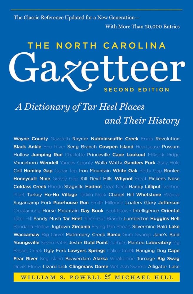
This content is from the North Carolina Gazetteer, edited by William S. Powell and Michael Hill. Copyright © 2010 by the University of North Carolina Press. Used by permission of the publisher. For personal use and not for further distribution. Please submit permission requests for other use directly to the publisher.

Some place names included in The North Carolina Gazetteer contain terms that are considered offensive.

"The North Carolina Gazetteer is a geographical dictionary in which an attempt has been made to list all of the geographic features of the state in one alphabet. It is current, and it is historical as well. Many features and places that no longer exist are included; many towns and counties for which plans were made but which never materialized are also included. Some names appearing on old maps may have been imaginary, but many of them also appear in this gazetteer.

Each entry is located according to the county in which it is found. I have not felt obliged to keep entries uniform. The altitude of a place, the date of incorporation of a city or town, may appear in the beginning of one entry and at the end of another. Some entries may appear more complete than others. I have included whatever information I could find. If there is no comment on the origin or meaning of a name, it is because the information was not available. In some cases, however, resort to an unabridged dictionary may suggest the meaning of many names."

--From The North Carolina Gazetteer, 1st edition, preface by William S. Powell
Alphabetical Glossary Filter

"
3
A
B
C
D
E
F
G
H
I
J
K
L
M
N
O
P
Q
R
S
T
U
V
W
X
Y
Z
Place Description
Mackey Mountain

W McDowell County. Alt. 3,994.

Mackeys

community in N Washington County W of the mouth of Kendricks Creek on Albemarle Sound. Alt. 8. Settled about 1765 near the S terminus of Mackeys Ferry, which see, named for Col. William Mackey, local landowner. Post office est. 1856 as Mackeys Ferry; name changed to Mackeys in 1913. Mackeys Ferry appears on the Collet map, 1770.

Mackeys Creek

rises in W McDowell County and flows SE into Catawba River.

Mackeys Ferry

formerly located at the present community of Mackeys in N Washington County on Kendricks Creek. Shown as T. Bells Ferry on the Moseley map, 1733; purchased from Bell by Col. William Mackey in 1735; was in continuous operation until 1938. At the time it was dismantled, the ferry operated between Edenton in S Chowan County and the S shore of Albemarle Sound immediately N of Pleasant Grove in N Washington County.

Macks

community in W Johnston County.

Maco

community in NE Brunswick County. Named Farmers Turnout in 1867, but about 1890 intended to be named Maraco for the MacRae Co., which developed land in the vicinity. The present name, easier to pronounce, came into use instead. Alt. 49. Site of the "Maco Light," an unidentified phenomenon that has been recurring frequently since a train wreck there in 1867. Traditionally, the light is said to be the lantern of Joe Baldwin, a railroad conductor who was killed while attempting to prevent the wreck. President Grover Cleveland purportedly saw the light in 1889 and asked for an explanation.

Macon

town in N central Warren County on heads of Sixpound Creek and Walkers Creek. Alt. 285. Settled in early 1800s and shown as Chestnut Crossroads on the MacRae map, 1833. Post office of Macon est. in 1839. Inc. 1889; named for Nathaniel Macon (1758-1837), speaker of the U. S. House of Representatives, member of Congress from 1815 to 1828, and president of N.C. Constitutional Convention, 1835. A Civil War training camp, Camp Macon, was located there.

Macon County

was formed in 1828 from Haywood County. Located in the W section of the state, it is bounded by the state of Georgia and by Clay, Cherokee, Swain, and Jackson Counties. It was named for Nathaniel Macon (1758-1837), speaker of the U.S. House of Representatives and U.S. senator. Area: 520 sq. mi. County seat: Franklin, with an elevation of 2,113 ft. Townships are Burningtown, Cartoogechaye, Cowee, Ellijay, Flats, Franklin, Highlands, Millshoal, Nantahala, Smiths Bridge, and Sugar Rock. Produces corn, dairy products, livestock, hogs, textiles, lumber, heavy equipment, hay, honey, plastics, and mica.

Mad Inlet

tidal waterway between Bald Beach and Bird Island in SW Brunswick County.

Madcap Branch

rises in NE Swain County and flows NW into Bunches Creek.