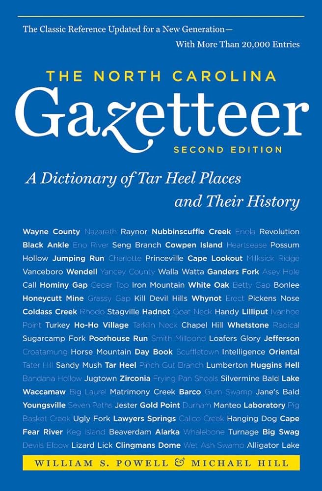
This content is from the North Carolina Gazetteer, edited by William S. Powell and Michael Hill. Copyright © 2010 by the University of North Carolina Press. Used by permission of the publisher. For personal use and not for further distribution. Please submit permission requests for other use directly to the publisher.

Some place names included in The North Carolina Gazetteer contain terms that are considered offensive.

"The North Carolina Gazetteer is a geographical dictionary in which an attempt has been made to list all of the geographic features of the state in one alphabet. It is current, and it is historical as well. Many features and places that no longer exist are included; many towns and counties for which plans were made but which never materialized are also included. Some names appearing on old maps may have been imaginary, but many of them also appear in this gazetteer.

Each entry is located according to the county in which it is found. I have not felt obliged to keep entries uniform. The altitude of a place, the date of incorporation of a city or town, may appear in the beginning of one entry and at the end of another. Some entries may appear more complete than others. I have included whatever information I could find. If there is no comment on the origin or meaning of a name, it is because the information was not available. In some cases, however, resort to an unabridged dictionary may suggest the meaning of many names."

--From The North Carolina Gazetteer, 1st edition, preface by William S. Powell
Alphabetical Glossary Filter

"
3
A
B
C
D
E
F
G
H
I
J
K
L
M
N
O
P
Q
R
S
T
U
V
W
X
Y
Z
Place Description
Mannings Township

W Nash County.

Manns Harbor

community on the E shore of the mainland, central Dare County on Croatan Sound. Settled in the early nineteenth century. Known earlier as Croatan. Named for a German sea captain, Charles Mann, who harbored there during a fierce storm. He later returned, with his wife and 9 children, to live. The Indian village of Dasemunkepeuc (Algonquian word meaning "where there is an extended land surface separated by water") was located there and is shown on the White maps, 1585 and 1590, and on the Velasco map, 1611. Alt. 10.

Manor Branch

rises in NW Buncombe County near Newfound Mountain and flows NE into Sandy Mush Creek.

Mansfield

community in S Carteret County W of Morehead City.

Manson

town in W Warren County near the head of Rocky Creek. Inc. 1874, but not now active in municipal affairs. Alt. 424. First known as Cheathamville; name changed to Branchville in 1858 because the Roanoke Valley Railway branch joined the Raleigh and Gaston Railroad there. Name changed to Manson in 1859 in honor of Dr. O. F. Manson (1822-88), local physician and later a Confederate surgeon.

Manteo

town and county seat, on N Roanoke Island, E Dare County. Settled 1865. Inc. 1899. Named for the Indian chief Manteo, taken to England in 1584 by Philip Amadas and Arthur Barlowe in the service of Walter Raleigh. Alt. 12. The Lost Colony, an outdoor drama by Paul Green, has been presented nearby each summer since 1937.

Manus

community in N Richmond County.

Maple

community in central Currituck County. Named for the Maple Leaf, a federal transport that grounded on Currituck Beach with 101 Confederate prisoners during the Civil War. Alt. 7.

Maple Bald Creek

rises in S Yancey County and flows SE into Rock Creek.

Maple Branch

rises in NW Beaufort County and flows SW into Tranters Creek.