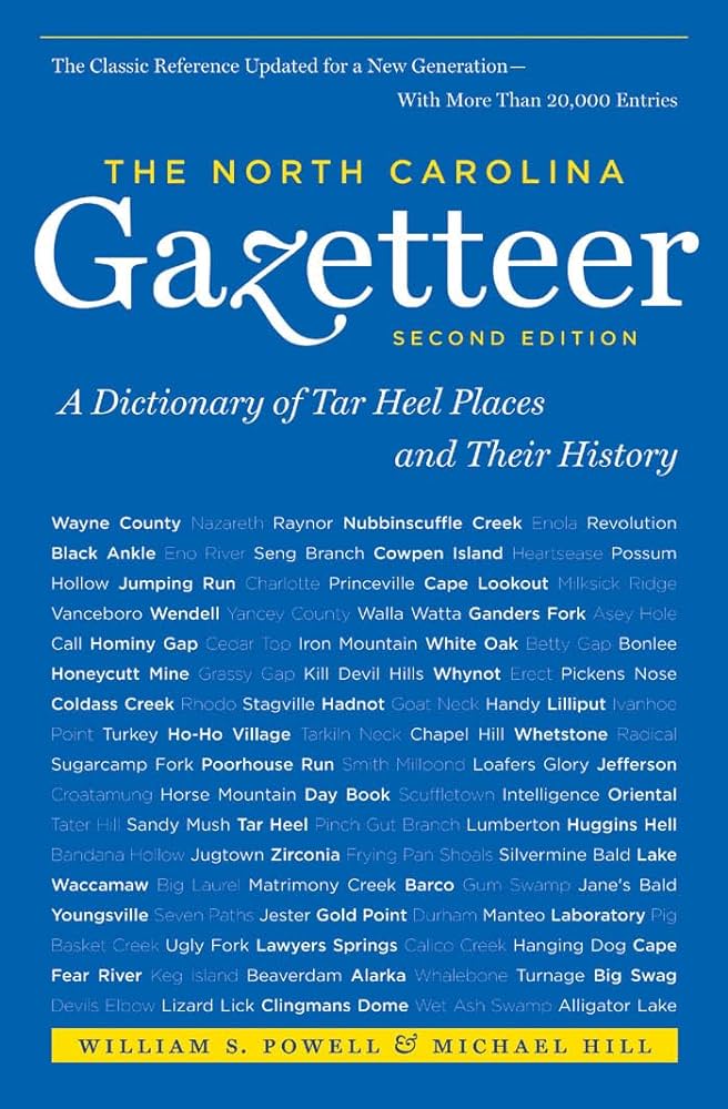
This content is from the North Carolina Gazetteer, edited by William S. Powell and Michael Hill. Copyright © 2010 by the University of North Carolina Press. Used by permission of the publisher. For personal use and not for further distribution. Please submit permission requests for other use directly to the publisher.

Some place names included in The North Carolina Gazetteer contain terms that are considered offensive.

"The North Carolina Gazetteer is a geographical dictionary in which an attempt has been made to list all of the geographic features of the state in one alphabet. It is current, and it is historical as well. Many features and places that no longer exist are included; many towns and counties for which plans were made but which never materialized are also included. Some names appearing on old maps may have been imaginary, but many of them also appear in this gazetteer.

Each entry is located according to the county in which it is found. I have not felt obliged to keep entries uniform. The altitude of a place, the date of incorporation of a city or town, may appear in the beginning of one entry and at the end of another. Some entries may appear more complete than others. I have included whatever information I could find. If there is no comment on the origin or meaning of a name, it is because the information was not available. In some cases, however, resort to an unabridged dictionary may suggest the meaning of many names."

--From The North Carolina Gazetteer, 1st edition, preface by William S. Powell
Alphabetical Glossary Filter

"
3
A
B
C
D
E
F
G
H
I
J
K
L
M
N
O
P
Q
R
S
T
U
V
W
X
Y
Z
Place Description
Mecklenburg County

was formed in 1762 from Anson County. Located in the S central section of the state, it is bounded by the state of South Carolina and by Gaston, Lincoln, Iredell, Cabarrus, and Union Counties. It was named for Princess Charlotte Sophia of Mecklenburg-Strelitz (1744-1818), who married George III in 1761. Area: 549 sq. mi. County seat: Charlotte, with an elevation of 795 ft. Home to banks, corporate offices, and professional football and basketball teams. Townships, now numbered 1 to 15, were formerly Charlotte, Berryhill, Steele Creek, Sharon, Providence, Clear Creek, Crab Orchard, Mallard Creek, Dewees, Lemley, Long Creek, Paw Creek, Morning Star, Pineville, and Huntersville. Produces corn, wheat, oats, cotton, eggs, poultry, dairy products, processed meat, baked goods, fabricated metals, textiles, industrial machinery, canned foods, paper products, chemicals, hosiery, apparel, furniture, snack foods, software, soybeans, peaches, tires, computers, aircraft parts, electronics, and asbestos products.

Medford Branch

rises in S Haywood County and flows NW into Browning Branch.

Medford Cove

E Haywood County between Brown Cove and Chambers Branch.

Medlin

former community in NW Swain County now within the bounds of Great Smoky Mountains National Park. Settled before 1886 and named for Marion Medlin, popular Baptist minister who lived in the vicinity. After the property was acquired for the national park, houses and stores were torn down and moved. Only local family cemeteries remain to mark the site.

Medlock Mountain

See Meadlock Mountain.

Medoc

community in W Halifax County between Brinkleyville and Ringwood. Named for nearby Medoc Mountain.

Medoc Mountain

a comparatively high hill on the E bank of Little Fishing Creek, W Halifax County; center of a state park. Named for a vineyard est. there in the late nineteenth century and named for Médoc, France, which contains some of that country's most famous vineyards. "Rocky Hill," the summer home of Governor Hutchins G. Burton (1774-1832), was nearby.

Medora

community in W Edgecombe County.

Meege Crossroads

community in N Chowan County. A post office operated there, 1902-25, called Meege, which was the nickname of Mrs. Miles Elliott, wife of the postmaster.

Meeksville

community in W Wilson County served by post office, 1878-1901.