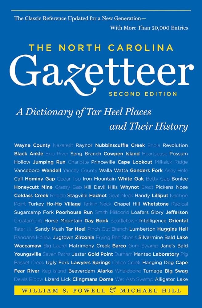
This content is from the North Carolina Gazetteer, edited by William S. Powell and Michael Hill. Copyright © 2010 by the University of North Carolina Press. Used by permission of the publisher. For personal use and not for further distribution. Please submit permission requests for other use directly to the publisher.

Some place names included in The North Carolina Gazetteer contain terms that are considered offensive.

"The North Carolina Gazetteer is a geographical dictionary in which an attempt has been made to list all of the geographic features of the state in one alphabet. It is current, and it is historical as well. Many features and places that no longer exist are included; many towns and counties for which plans were made but which never materialized are also included. Some names appearing on old maps may have been imaginary, but many of them also appear in this gazetteer.

Each entry is located according to the county in which it is found. I have not felt obliged to keep entries uniform. The altitude of a place, the date of incorporation of a city or town, may appear in the beginning of one entry and at the end of another. Some entries may appear more complete than others. I have included whatever information I could find. If there is no comment on the origin or meaning of a name, it is because the information was not available. In some cases, however, resort to an unabridged dictionary may suggest the meaning of many names."

--From The North Carolina Gazetteer, 1st edition, preface by William S. Powell
Alphabetical Glossary Filter

"
3
A
B
C
D
E
F
G
H
I
J
K
L
M
N
O
P
Q
R
S
T
U
V
W
X
Y
Z
Place Description
Myrtle Swamp

See Merkle Swamp.

Myrts

community in N Duplin County served by post office, 1893-96. Named for first postmaster James Grady's daughter Myrtie.

Nags Head

town on N Bodie Island facing the Atlantic Ocean, E Dare County. A popular summer resort since the 1830s. Inc. 1923; charter repealed 1949; inc. again in 1961. Numerous legends exist explaining the origin of the name. One of the most popular tells of natives who tied lanterns around the necks of ponies ("nags"), which were driven up and down the beach at night. The motion of the lanterns resembled that of a vessel at anchor and lured ships at sea into the shore, where they were wrecked and easily robbed. The name appears on maps of the area as early as 1738. Nags Head as a place name appears in various parts of England, the Channel Islands, and the West Indies.

Nags Head Coast Guard Station

central Bodie Island in E Dare County. Est. in 1874 as a lifesaving station. Lifesaving Service and Revenue Cutter Service joined to form U.S. Coast Guard in 1915. The station was declared surplus and decommissioned after World War II.

Nags Head Township

E Dare County. Includes all of Roanoke Island and the town of Nags Head.

Nags Head Woods

maritime forest, E Dare County. An ecological preserve that includes 1,400 acres. Protected by Nature Conservancy and designated a U.S. Natural Landmark, 1974.

Nahunga Creek

rises in W Duplin County and flows NE into Goshen Swamp.

Nahunta

community in NW Wayne County S of Nahunta Creek, from which it takes its name. Called Academy Crossroads as recently as 1915.

Nahunta Swamp

rises in E Johnston County and flows E across NE Wayne County and NE into Contentnea Creek in W Greene County. It is mentioned under various spellings as early as 1711 as Norhanty, Norrihunta, and No Honey. Appears on the Collet map, 1770, as Beaverdam Swamp in N Wayne County. It is not shown as such on subsequent maps. The name is either originally or in corrupted form a Tuscarora Indian word, perhaps from Kahunshe Wakena (Black Creek).

Nahunta Township

NE Wayne County.