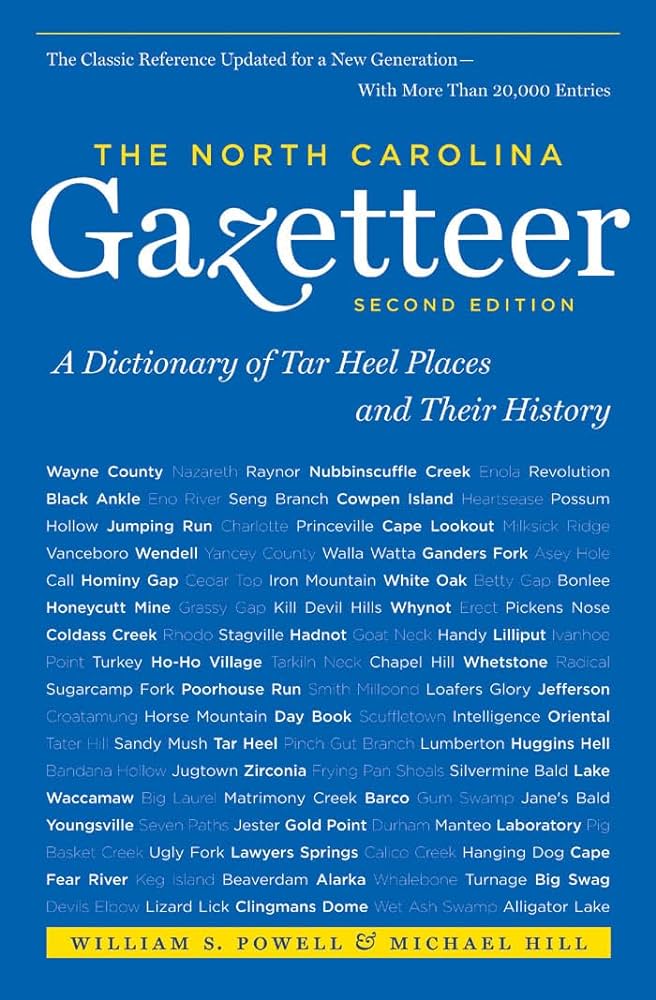
This content is from the North Carolina Gazetteer, edited by William S. Powell and Michael Hill. Copyright © 2010 by the University of North Carolina Press. Used by permission of the publisher. For personal use and not for further distribution. Please submit permission requests for other use directly to the publisher.

Some place names included in The North Carolina Gazetteer contain terms that are considered offensive.

"The North Carolina Gazetteer is a geographical dictionary in which an attempt has been made to list all of the geographic features of the state in one alphabet. It is current, and it is historical as well. Many features and places that no longer exist are included; many towns and counties for which plans were made but which never materialized are also included. Some names appearing on old maps may have been imaginary, but many of them also appear in this gazetteer.

Each entry is located according to the county in which it is found. I have not felt obliged to keep entries uniform. The altitude of a place, the date of incorporation of a city or town, may appear in the beginning of one entry and at the end of another. Some entries may appear more complete than others. I have included whatever information I could find. If there is no comment on the origin or meaning of a name, it is because the information was not available. In some cases, however, resort to an unabridged dictionary may suggest the meaning of many names."

--From The North Carolina Gazetteer, 1st edition, preface by William S. Powell
Alphabetical Glossary Filter

"
3
A
B
C
D
E
F
G
H
I
J
K
L
M
N
O
P
Q
R
S
T
U
V
W
X
Y
Z
Place Description
Roan Valley

parallel to Fall Creek in E Mitchell County.

Roanes Mill

community in S Macon County served by post office, 1878-1912.

Roanoac

an Indian village formerly near the N tip of Roanoke Island, E Dare County; the site is now submerged in the waters of Albemarle Sound. Appears on the White maps of 1585 and 1590.

Roanoak Town

See Carteret.

Roanoke

community in NW Rockingham County served by post office, 1894-1904.

Roanoke Canal

constructed between 1817 and 1823 and extended between 1824 and 1834 to bypass the Upper and Lower Falls of Roanoke River in N Halifax County. The canal, built by the Roanoke Navigation Company, provided a series of locks that made uninterrupted navigation of the river possible. The locks raised and lowered vessels 44 ft. from the basin to the river and could accommodate boats weighing from 30 to 50 tons. With the completion of the Raleigh and Gaston Railroad and its junction with Seaboard Railroad about 1841, the canal began a decline and was no longer used by 1865. Chockoyotte Creek Viaduct and other remnants remain.

Roanoke County

was proposed as the name for the SE portion of Halifax County in 1868, when there was a move to divide the county. A manuscript map of Roanoke County made by M. L. Venable is in the North Carolina Collection at the University of North Carolina at Chapel Hill.

Roanoke Inlet

former inlet from the Atlantic Ocean into Roanoke Sound through Bodie Island S of the present location of Nags Head, NE Dare County. Inlet was the original N boundary of Bodie Island. Opened prior to 1657 and closed in 1795, according to a note on the Kerr map, 1882. Appears on the Ogilby map, 1671.

Roanoke Island

approx. 11 mi. long and 2¼ mi. wide, E Dare County; it is separated by Roanoke Sound from Bodie Island (Outer Banks) on the E and from the mainland by Croatan Sound on the w. Site of Fort Raleigh, center of English exploration and settlement, 1584-87. Name believed to be of Algonquian Indian origin signifying "northern people" or "northerners," referring to the fact that the Indians lived on the N end of the island or that they had earlier migrated from an ancestral home in the n. The name Roanoke also came to be applied to shell beads. Site of freedman's colony, 1865. Fort Raleigh National Historic Site is on the N end of the island. See also Manteo; Carteret.

Roanoke Marshes

extensive string of low marsh islands in Croatan Sound, E central Dare County stretching from SW end of Roanoke Island to a large marshy area on the mainland. Site of a beacon est. approx. 1875; last of manually operated lights along the coast replaced by automatic beacon in 1955. The islands for the most part have washed away. Shown on the Collet map, 1770, as Daniels Marshes. Unnamed but shown prominently on the Moseley map, 1733.