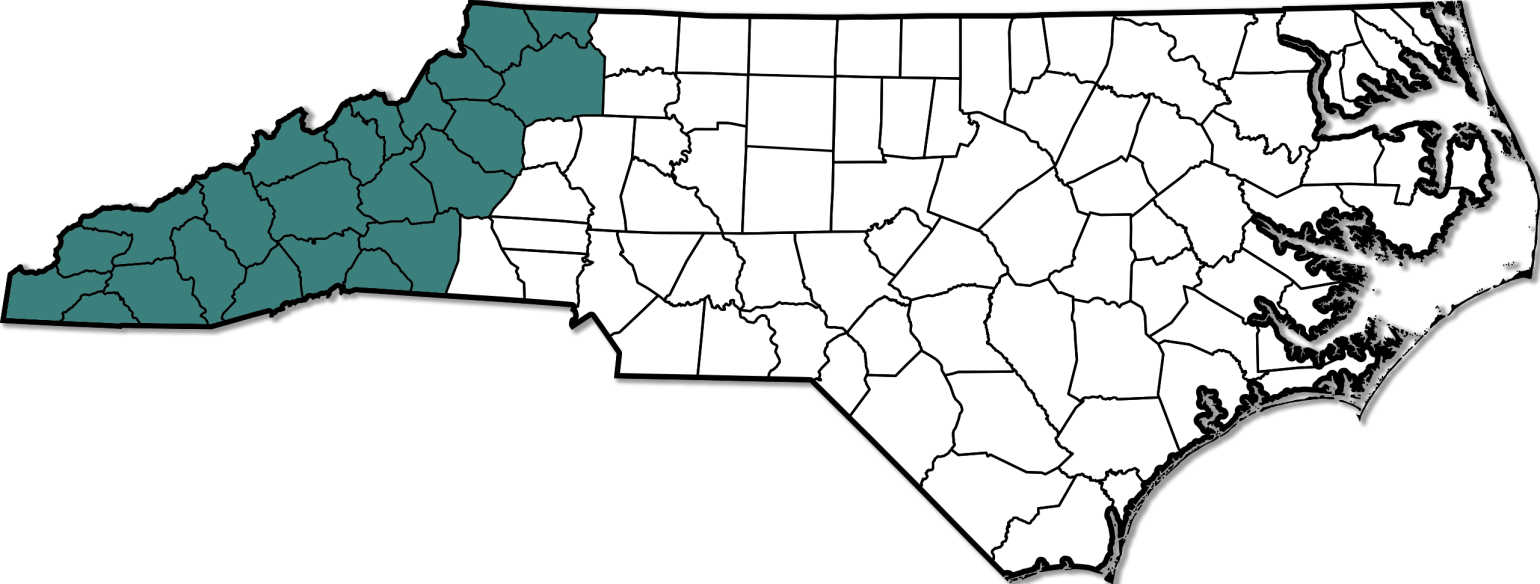
The western part of the state is the Mountain region. It is smaller in area than the Piedmont and Coastal Plain. The elevation in this region reaches to more than one mile high. The Blue Ridge Mountains separate the Piedmont from the Mountain region. Other ranges in the Mountain region include the Bald, Balsam, Black, Brushy, Great Smoky, Iron, Pisgah, Stone, and Unaka. All of these ranges are part of the larger Appalachian Mountains, possibly the oldest mountains in the United States. North Carolina has at least 40 mountains that rise to 6,000 feet and 100 that rise more than 5,000 feet. Mount Mitchell in the Black Mountain range is 6, 684 feet high. This is the highest point in North Carolina and the highest in the United States east of the Mississippi River. The Eastern Continental Divide runs east from those flowing west. Rivers on the eastern side of the divide flow east toward the Atlantic Ocean. Rivers that run on the western side of the divide flow toward the Tennessee and Ohio rivers and into the Gulf of Mexico.