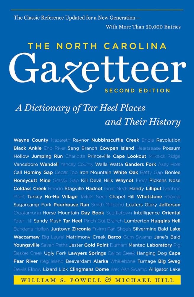
This content is from the North Carolina Gazetteer, edited by William S. Powell and Michael Hill. Copyright © 2010 by the University of North Carolina Press. Used by permission of the publisher. For personal use and not for further distribution. Please submit permission requests for other use directly to the publisher.

Some place names included in The North Carolina Gazetteer contain terms that are considered offensive.

"The North Carolina Gazetteer is a geographical dictionary in which an attempt has been made to list all of the geographic features of the state in one alphabet. It is current, and it is historical as well. Many features and places that no longer exist are included; many towns and counties for which plans were made but which never materialized are also included. Some names appearing on old maps may have been imaginary, but many of them also appear in this gazetteer.

Each entry is located according to the county in which it is found. I have not felt obliged to keep entries uniform. The altitude of a place, the date of incorporation of a city or town, may appear in the beginning of one entry and at the end of another. Some entries may appear more complete than others. I have included whatever information I could find. If there is no comment on the origin or meaning of a name, it is because the information was not available. In some cases, however, resort to an unabridged dictionary may suggest the meaning of many names."

--From The North Carolina Gazetteer, 1st edition, preface by William S. Powell
Alphabetical Glossary Filter

"
3
A
B
C
D
E
F
G
H
I
J
K
L
M
N
O
P
Q
R
S
T
U
V
W
X
Y
Z
Place Description
Mount Gould

community in E central Bertie County served by post office, 1829-1907. Developed at the site of a plantation first known as Mount Golland and later Mount Gould after George Gould, a surveyor, came into possession of it. Littledals Ferry on the Chowan River nearby appears on the Collet map, 1770.

Mount Guyot

in Great Smoky Mountains National Park on the Haywood County, N.C.-Sevier County, Tenn., line near lat. 35°42'20" N., long. 83°15'30" W. Alt. 6,621. Named by Prof. S. B. Buckley prior to 1859 in honor of Arnold Guyot, geographer, who made the first comprehensive survey of the region and did much to stimulate public interest in the mountains. Known by the Cherokee Indians as Sornook

Mount Hardison

NE Swain County in Great Smoky Mountains National Park at the N end of Dashoga Ridge. Alt. 6,148. Named for James Archibald Hardison (1867-1930) of Anson County, an original member of the N.C. State Park Commission.

Mount Hardy

S Haywood County near lat. 35°18'15" N., long. 82°55'38" W. Named 1957-58 for Dr. James F. E. Hardy of Asheville, who, in cooperation with Arnold Guyot, explored and named many of the mountains of W North Carolina in the 1850s. Formerly known as Black Mountain. Alt. 6,110.

Mount Hardy Gap

S Haywood County near lat. 35°17'55" N., long. 82°55'30" W. Formerly known as Black Mountain Gap.

Mount Heckler

former mountain in NE Gaston County. Following the construction of the dam on the Catawba River at the site, it was almost covered by water. Its peak now forms an island in Mountain Island Lake. Named for Mount Hecla Mill in Greensboro. In 1848 a cotton mill was transplanted near there from Greensboro by the son-in-law of the owner of Mount Hecla Mill. See also Mountain Island Lake.

Mount Hermon

unincorporated community in S central Alamance County. Name derived either from biblical Mount Hermon or for a local road known as Hermon Road for Regulator leader Hermon Husband. Mount Hermon Methodist Church, est. around 1829, is there.

Mount Hermon Township

W central Pasquotank County.

Mount Holly

town in E Gaston County. Post office est. as Huntersville in 1800, named for Rev. Humphrey Hunter, postmaster. Name changed to Woodlawn in 1846. Inc. 1879 as Mount Holly, named for the town in New Jersey where fine yarns were manufactured. Produces textiles and hosiery. Alt. 621. See also Nims.

Mount Holly Ferry

crossed the Catawba River in NW Mecklenburg into Gaston County.