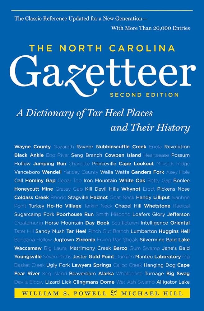
This content is from the North Carolina Gazetteer, edited by William S. Powell and Michael Hill. Copyright © 2010 by the University of North Carolina Press. Used by permission of the publisher. For personal use and not for further distribution. Please submit permission requests for other use directly to the publisher.

Some place names included in The North Carolina Gazetteer contain terms that are considered offensive.

"The North Carolina Gazetteer is a geographical dictionary in which an attempt has been made to list all of the geographic features of the state in one alphabet. It is current, and it is historical as well. Many features and places that no longer exist are included; many towns and counties for which plans were made but which never materialized are also included. Some names appearing on old maps may have been imaginary, but many of them also appear in this gazetteer.

Each entry is located according to the county in which it is found. I have not felt obliged to keep entries uniform. The altitude of a place, the date of incorporation of a city or town, may appear in the beginning of one entry and at the end of another. Some entries may appear more complete than others. I have included whatever information I could find. If there is no comment on the origin or meaning of a name, it is because the information was not available. In some cases, however, resort to an unabridged dictionary may suggest the meaning of many names."

--From The North Carolina Gazetteer, 1st edition, preface by William S. Powell
Alphabetical Glossary Filter

"
3
A
B
C
D
E
F
G
H
I
J
K
L
M
N
O
P
Q
R
S
T
U
V
W
X
Y
Z
Place Description
Mount Ida

central McDowell County at the S limits of the town of Marion. Alt. approx. 2,000. Named for Ida Neal.

Mount Jefferson

SE of and named for town of Jefferson in central Ashe County. State park of 474 acres is maintained there for sightseeing and picnicking; created 1956. Original name, given because of the black appearance of the weathered granite of which much of the mountain is composed, appears in local records as early as 1810. Name changed at the creation of the park. A cave near the top is said to have been used by slaves fleeing to Ohio before the Civil War. Alt. 4,683.

Some of the names by which this place has been known include highly offensive racial slurs. Tap or click to show or hide these offensive names.
Mount Junaluska

See Jones Knob.

Mount Kephart

in Great Smoky Mountains National Park on the Swain County, N.C.-Sevier County, Tenn., line, lat. 35°38' N., long 83°24' W. Named in 1928 for Horace Kephart (1862-1931), explorer, naturalist, and authority on campcraft who lived in the area for many years. Alt. 6,400. Mount Collins, nearby, bore the name Mount Kephart for a short while. The Jump Off, on the Tennessee side of Mount Kephart, was formerly believed to be in North Carolina. A cliff there drops vertically for almost 500 ft. and then nearly vertically for an additional 1,000 ft.

Mount Leer

See Morrow's Turnout.

Mount Love

in Great Smoky Mountains National Park on the Swain County, N.C.-Sevier County, Tenn., line, lat. 35°33'30" N., long. 83°30' W. Named by Arnold Guyot before 1860 for Dr. S. L. Love (1828-87), who accompanied T. L. Clingman and S. O. Buckley in 1858 when Clingmans Dome was first measured. Alt. approx. 6,500.

Mount Misery

appears on the Collet map, 1770, as a large sand hill N of Eagle Island in W New Hanover County. A ferry across the Cape Fear River was operated there from as early as 1754 and possibly through the Revolution.

Mount Mitchell

S Yancey County in Black Mountains. Alt. 6,684, the highest peak in E United States. Formerly known as Black Dome but renamed for Professor Elisha Mitchell (1793-1857) of the University of North Carolina, who fell to his death nearby while trying to verify his claim that it was the highest mountain E of the Mississippi. Known by the Cherokee Indians as Attakulla. See also Mitchell Falls.

Mount Mitchell State Park

S Yancey County. Covers 1,224 acres. Est. 1915 as the first state park in North Carolina. Scenic area, tent camping, picnicking, hiking, nature study, museum, recreation lodge, and lookout tower.

Mount Mourne

town in S Iredell County. Inc. 1875, but long inactive in municipal affairs. Settled prior to the American Revolution and took its name from the home of Rufus Reid, which Reid had named Mount Mourne for the mountain in Ireland. At Torrence's Tavern there, Lt. Col. Tarleton's British cavalry routed a force of American militia, February 2, 1781. Crowfield Academy, an early classical school about a mi. s, was est. 1760 and closed by the time of the Revolution.