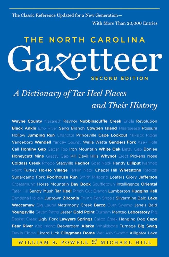
This content is from the North Carolina Gazetteer, edited by William S. Powell and Michael Hill. Copyright © 2010 by the University of North Carolina Press. Used by permission of the publisher. For personal use and not for further distribution. Please submit permission requests for other use directly to the publisher.

Some place names included in The North Carolina Gazetteer contain terms that are considered offensive.

"The North Carolina Gazetteer is a geographical dictionary in which an attempt has been made to list all of the geographic features of the state in one alphabet. It is current, and it is historical as well. Many features and places that no longer exist are included; many towns and counties for which plans were made but which never materialized are also included. Some names appearing on old maps may have been imaginary, but many of them also appear in this gazetteer.

Each entry is located according to the county in which it is found. I have not felt obliged to keep entries uniform. The altitude of a place, the date of incorporation of a city or town, may appear in the beginning of one entry and at the end of another. Some entries may appear more complete than others. I have included whatever information I could find. If there is no comment on the origin or meaning of a name, it is because the information was not available. In some cases, however, resort to an unabridged dictionary may suggest the meaning of many names."

--From The North Carolina Gazetteer, 1st edition, preface by William S. Powell
Alphabetical Glossary Filter

"
3
A
B
C
D
E
F
G
H
I
J
K
L
M
N
O
P
Q
R
S
T
U
V
W
X
Y
Z
Place Description
New Branch

rises in N Avery County and flows NE into Buckeye Creek.

New Carthage

See Wilmington.

New Castle

community in SE Wilkes County between Osborne and Hunting Creeks. Named for the plantation of James Clemmons Hunt (1804-47), local merchant and planter. The town of Denneysville was authorized to be laid out at the site in 1817 on land then owned by George Denny, but it apparently did not develop. Known as Hunt's Store by 1847 and by its present name by the 1850s.

New Castle Township

E Wilkes County.

New Currituck Inlet

from the Atlantic Ocean into Currituck Sound through Currituck Banks, opened in the 1730s and closed in 1828. The site is now in E Currituck County.

New Exeter

See Exeter.

New Garden

See Guilford College.

New Hanover County

was formed in 1729 from Craven County. Located in the SE section of the state, it is bounded by the Atlantic Ocean, Cape Fear River, and Brunswick and Pender Counties. It was named in honor of the royal family of England, members of the House of Hanover. Area: 225 sq. mi. County seat: Wilmington, with an elevation of 38 ft. Townships are Cape Fear, Federal Point, Harnett, Masonboro, and Wilmington. Produces miscellaneous fruits and vegetables, bulbs and flowers, seafood, ceramics, optical fiber, nuclear technology, corn, soybeans, hogs, dairy products, poultry, bakery goods, fabricated metals, lumber, wooden containers, textiles, apparel, paper boxes, chemicals, refrigeration machinery, sand, and limestone.

New Hill

community in SW Wake County. Post office est. in 1832. Inc. 1907; charter repealed 1917. Alt. 356.

New Holland

community on the S shore of Lake Mattamuskeet in central Hyde County. Alt. 3. Settled 1910 and named by a development company that attempted to drain the lake for farmland but finally gave up in 1934, when the lake was allowed to refill. Their activity suggested the Netherlands’ continuous efforts to drain farmland, hence the name.