Rutherford County Resources
- View All:
- Biographies
- Monuments
- locations
ANCHOR (A North Carolina History Online Resource) is now its own website!
Copyright Notice: This article is from the Encyclopedia of North Carolina edited by William S. Powell. Copyright © 2006 by the University of North Carolina Press. Used by permission of the publisher. For personal use and not for further distribution. Please submit permission requests for other use directly to the publisher.
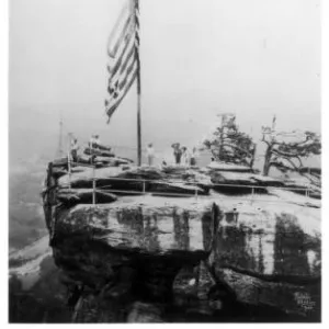
See also: Chimney Rock.
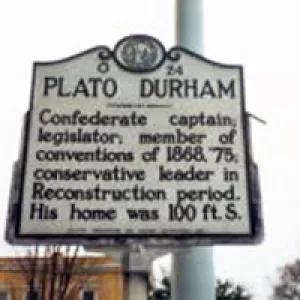
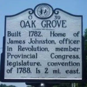
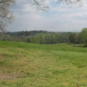
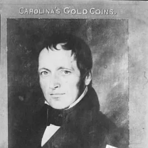
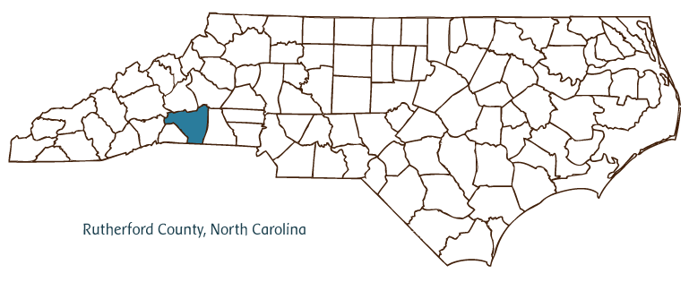
Rutherford County, located on the border of the Piedmont and Mountain regions of North Carolina, was formed in 1779 and named after Revolutionary War general Griffith Rutherford, a member of the North Carolina Provincial Congress. Early inhabitants of the area included the Cherokee Indians, followed by Scotch-Irish, German, French, Swiss, and English settlers. Rutherfordton, the county seat, was incorporated in 1787 and has the same namesake as the county. Other Rutherford County communities include Forest City, Harris, Ellenboro, Union Mills, Sunshine, Thermal City, and Chimney Rock. The Bechtler Mint, established in 1831 near Rutherfordton, minted more than $2 million in gold coins from 1831 until the late 1840s.
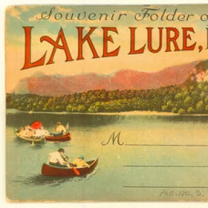
The Lake Lure region, including Chimney Rock, is an important tourist area, adding revenue to the county's economy. Filmmaking has also been important to Rutherford County, which was the site of the filming, at least in part, of the popular movies Last of the Mohicans (1992), Dirty Dancing (1987), and Firestarter (1984). Rutherford County is also home to historic sites and landmarks such as the Carrier-McBrayer House (ca. 1835) and the Lake Lure Inn and Resort (1920s). Cultural institutions include the Forest City Performing Arts Guild, Isothermal Community College Players and Singers, Shakespeare's Globe Theatre, and Gem Hill Ruby Mine. The county hosts festivals and annual events such as the Easter Sunrise Service in Chimney Rock Park, Chimney Rock Sports Car Hill Climb, and Lake Lure Dogwood Festival.
Rutherford County produces timber and forest products and its farms raise soybeans, wheat, corn, cotton, pumpkins, Christmas trees, watermelons, strawberries, beef cattle, poultry, and hogs. Manufactures include textiles, apparel, furniture, bricks, concrete products, and bronze castings. The county is also home to minerals such as garnet, granite, gneiss, beryl, quartz, galena, fuchsite, corundum, and diamonds. In 2004 Rutherford County's population was estimated at 63,200.
For an annotated history of the county's formation, with the laws affecting the county, boundary lines and changes, and other origin information, visit these references in The Formation of the North Carolina Counties (Corbitt, 2000), available online at North Carolina Digital Collections (note, there may be additional items of interest for the county not listed here):
County formation history: https://digital.ncdcr.gov/Documents/Detail/the-formation-of-the-north-ca...
Index entry for the county: https://digital.ncdcr.gov/Documents/Detail/the-formation-of-the-north-ca...
Additional resources:
Corbitt, David Leroy. 2000. The formation of the North Carolina counties, 1663-1943. https://digital.ncdcr.gov/Documents/Detail/the-formation-of-the-north-carolina-counties-1663-1943/3692099?item=4553233 (accessed June 20, 2017).
Rutherford County Government: https://www.rutherfordcountync.gov/
Rutherford County Chamber of Commerce: https://www.rutherfordcoc.org/
DigitalNC, Rutherford County: http://digitalnc.org/counties/rutherford-county
North Carolina Digital Collections (explore by place, time period, format): https://digital.ncdcr.gov
Image credits:
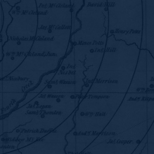
Rudersdorf, Amy. 2010. "NC County Maps." Government & Heritage Library, State Library of North Carolina.
Mazzocchi, Jay. "Rutherford County." NCpedia. State Library of NC. 2006. https://www.ncpedia.org/geography/rutherford.
RUTHERFORD COUNTY GOVERNMENT:
www.rutherfordcountync.gov
COUNTY SEAT: Rutherfordton
FORMED: 1779
FORMED FROM: Tryon
LAND AREA: 564.15 square miles
2020 POPULATION ESTIMATE: 64,444
White: 87.0%
Black/African American: 9.9%
American Indian: 0.4%
Asian: 0.6%
Pacific Islander: 0.1%
Two or more races: 2.1%
Hispanic/Latino: 4.8% (of any race)
From State & County QuickFacts, US Census Bureau, 2020.
CONGRESSIONAL DISTRICT: 10TH
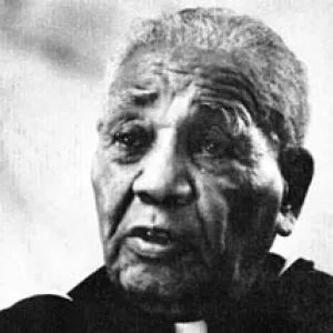
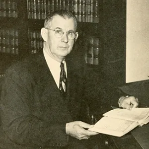
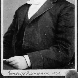
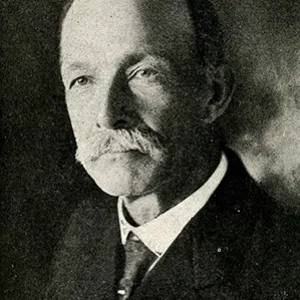
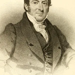
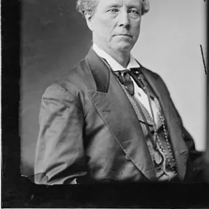
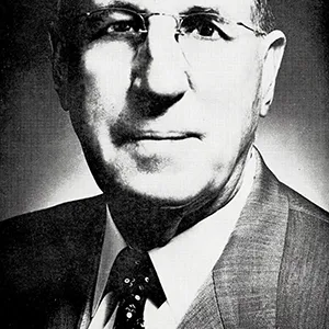
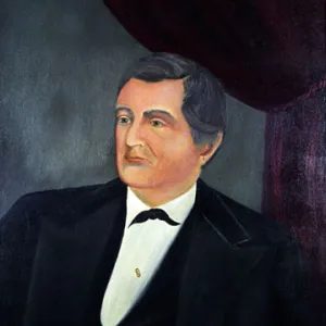
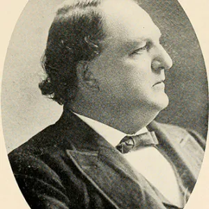
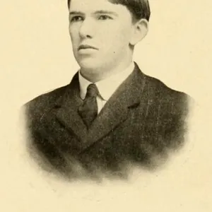
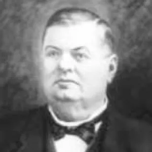
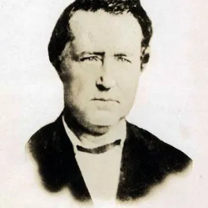
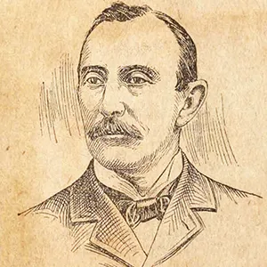
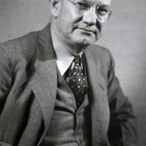
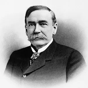
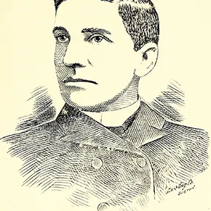
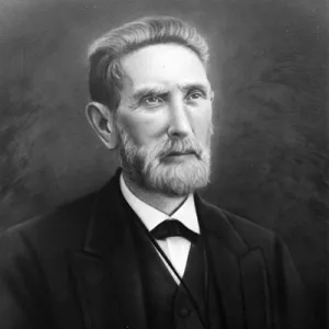
BIOGRAPHIES FOR![]()
Rutherford County
 WILDLIFE PROFILES FOR
Mountain region
GEOGRAPHIC INFORMATION
REGION: Mountain, though parts are technically located in the Piedmont
RIVER BASIN: Broad, Map
NEIGHBORING COUNTIES: Buncombe, Burke, Cleveland, Henderson, McDowell, Polk