Bertie County Resources
- View All:
- Biographies
- Monuments
- locations
ANCHOR (A North Carolina History Online Resource) is now its own website!
Copyright Notice: This article is from the Encyclopedia of North Carolina edited by William S. Powell. Copyright © 2006 by the University of North Carolina Press. Used by permission of the publisher. For personal use and not for further distribution. Please submit permission requests for other use directly to the publisher.
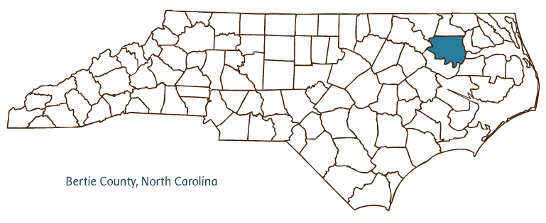
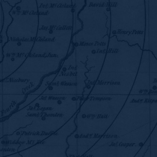
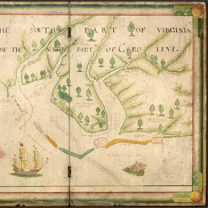
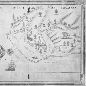
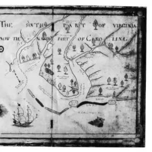
Bertie County, located in the northeastern Coastal Plain region of North Carolina, was formed in 1722 from Chowan County. Nathaniell Batts, the first permanent white settler in North Carolina, lived in the region of Salmon Creek beginning in 1655. The county was named for Lords Proprietors James and Henry Bertie. Early inhabitants of Bertie County included the Tuscarora Indians, followed by English settlers. Windsor, the county seat, was incorporated in 1766, although it had been settled 40 years earlier. The town was named for Windsor Castle, a residence of the British royal family. Other communities in Bertie County include Lewiston-Woodville, Aulander, Colerain, and Roxobel. The county's important physical features include the Cashie River, the Roanoke River, Albemarle Sound, Conine Island, and the Roanoke River wetlands.
Because of its location and the large amount of water within and surrounding it, Bertie County's soil is rich and ideal for agriculture. The county's major agricultural crops include tobacco, corn, peanuts, cotton, wheat, hay, and soybeans. Livestock produced include beef cattle, swine, and poultry. The county also produces sand, gravel, and clay. Seafood is an important product, and among the county's manufactures are clothing, lumber, farm equipment, and woodstoves.
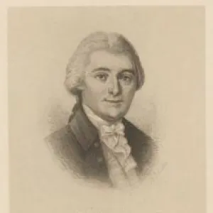
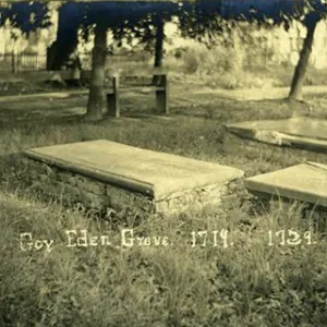
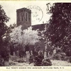
Bertie County's historic sites include the Hope Plantation (the home of early nineteenth-century North Carolina governor and U.S. senator David Stone), the King-Bazemore House (1763), the Sans Souci Ferry, and a "new" (1858) Windsor Castle. Eden House, alongside the Chowan River, was a colonial estate and home to government; it is now a site of archaeological work. Popular events such as the Fun Day in the Park at Windsor, the Sea and Tee Festival, and Chicken on the Cashie attract many natives of the county as well as tourists. The population of Bertie County was estimated to be 19,700 in 2004.
For an annotated history of the county's formation, with the laws affecting the county, boundary lines and changes, and other origin information, visit these references in The Formation of the North Carolina Counties (Corbitt, 2000), available online at North Carolina Digital Collections (note, there may be additional items of interest for the county not listed here):
County formation history: https://digital.ncdcr.gov/Documents/Detail/the-formation-of-the-north-ca...
Index entry for the county: https://digital.ncdcr.gov/Documents/Detail/the-formation-of-the-north-ca...
References:
Alan D. Watson, Bertie County: A Brief History (1982).
Additional resources:
Corbitt, David Leroy. 2000. The formation of the North Carolina counties, 1663-1943. https://digital.ncdcr.gov/Documents/Detail/the-formation-of-the-north-carolina-counties-1663-1943/3692099?item=4553233 (accessed June 20, 2017).
Bertie County Government: http://www.co.bertie.nc.us/
Windsor-Bertie County Chamber of Commerce: http://windsorbertie.com/
DigitalNC, Alamance County: https://www.digitalnc.org/counties/bertie-county/
North Carolina Digital Collections (explore by place, time period, format): https://digital.ncdcr.gov
Image credits:
Rudersdorf, Amy. 2010. "NC County Maps." Government & Heritage Library, Library of North Carolina.
Mazzocchi, Jay. "Bertie County." NCpedia. Library of NC. 2006.
BERTIE COUNTY GOVERNMENT:
http://www.co.bertie.nc.us/
COUNTY SEAT: Windsor
FORMED: 1722
FORMED FROM: Chowan
LAND AREA: 699.27 square miles
2020 POPULATION ESTIMATE: 17,934
White: 36.2%
Black/African American: 61.1%
American Indian: 0.7%
Asian: 0.8%
Pacific Islander: 0.1%
Two or more races: 1.2%
Hispanic/Latino: 2.4% (of any race)
From State & County QuickFacts, US Census Bureau, 2020.
CONGRESSIONAL DISTRICT: 1ST
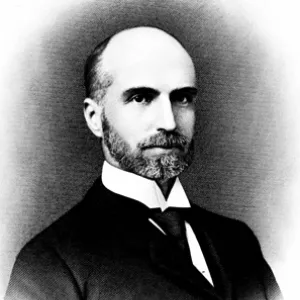
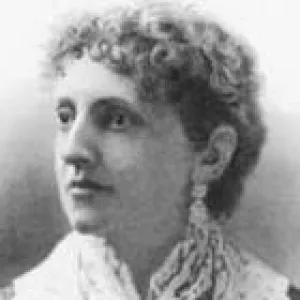
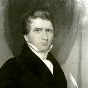
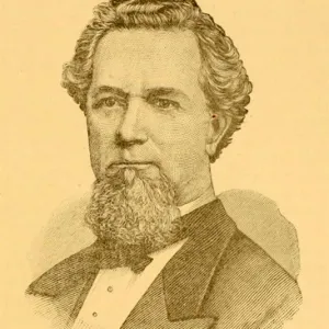
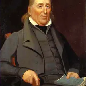
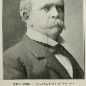
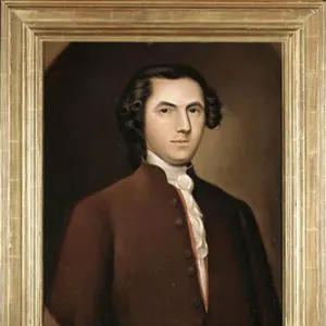
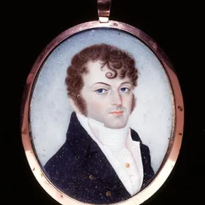
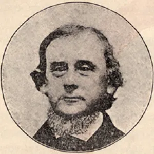
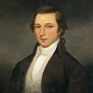
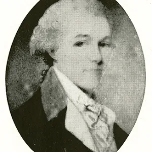
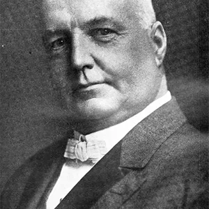
BIOGRAPHIES FOR![]()
Bertie County
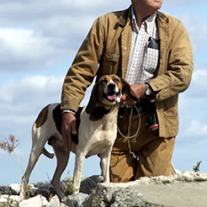
 WILDLIFE PROFILES FOR
Coastal Plain
GEOGRAPHIC INFORMATION
REGION: Coastal Plain
RIVER BASIN: Roanoke, Chowan, Map
NEIGHBORING COUNTIES: Chowan, Halifax, Hertford, Martin, Northampton, Washington