Caswell County Resources
- View All:
- Biographies
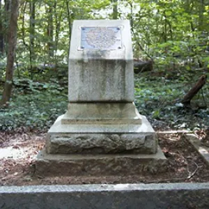
- Monuments
- locations
ANCHOR (A North Carolina History Online Resource) is now its own website!
Copyright Notice: This article is from the Encyclopedia of North Carolina edited by William S. Powell. Copyright © 2006 by the University of North Carolina Press. Used by permission of the publisher. For personal use and not for further distribution. Please submit permission requests for other use directly to the publisher.
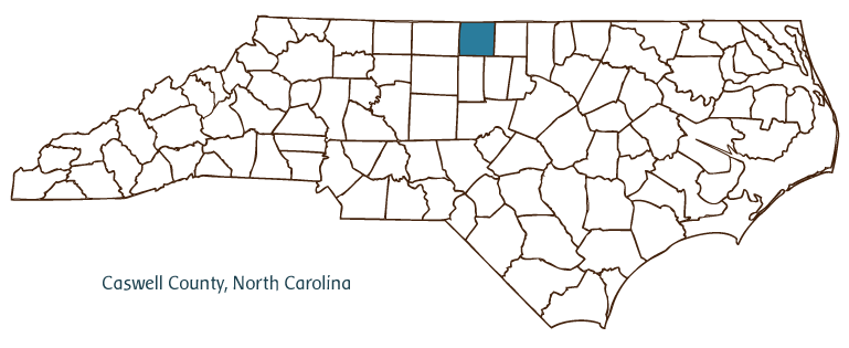
Caswell County, located in the northern Piedmont region of North Carolina and partially bordering the state of Virginia, was formed from Orange County in 1777 and named for Richard Caswell, the first governor of North Carolina. Early inhabitants of the region included the Occaneechi and other Siouan Indians, followed by German and English settlers. The county seat, Yanceyville, was established in 1791 as Caswell Court House. The name was changed to Yanceyville in 1833 after Bartlett Yancey, a U.S. congressman and state senator. Other Caswell County communities include Milton, Anderson, Pelham, Casville, Leasburg, and Providence. The Dan River flows through a section of the county, and Hyco Lake is an important water source as well as a popular recreational site.
Caswell County agricultural products include tobacco, soybeans, corn, wheat, oats, barley, hay, alfalfa, beef cattle, sheep, swine, and chickens. Manufactured goods include clothing, textiles, and electronics. The county also produces several minerals, such as mica, microcline, beryl, graphite, corundum, and soapstone.
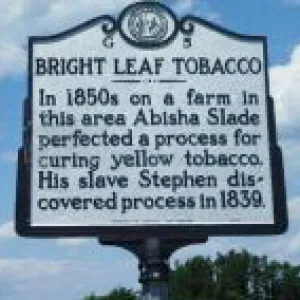
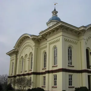
Caswell County's historic sites include the White House, built ca. 1800; Pascal House, built ca. 1840; and Brown's Store, dating from the eighteenth century. The county was, in 1837, the scene of the accidental discovery-by an enslaved man named Stephen who was enslaved by Abisha and Elisha Slade-of the process of flue-curing for tobacco, and, between 1824 and 1861, the home of Thomas Day, a successful free black furniture maker who worked in Milton, where his shop in Union Tavern is preserved. Cultural institutions include the Caswell County Historical Association, the Caswell County Historical Museum, and the Caswell Council for Arts and History. Annual festivals and events include the Brightleaf Hoedown, the Thomas Day House Annual Heritage Tour of Homes, and the Milton Old-Fashioned Fourth of July Celebration. The Caswell County population was estimated at 23,600 in 2004.
For an annotated history of the county's formation, with the laws affecting the county, boundary lines and changes, and other origin information, visit these references in The Formation of the North Carolina Counties (Corbitt, 2000), available online at North Carolina Digital Collections (note, there may be additional items of interest for the county not listed here):
County formation history: https://digital.ncdcr.gov/Documents/Detail/the-formation-of-the-north-ca...
Index entry for the county: https://digital.ncdcr.gov/Documents/Detail/the-formation-of-the-north-ca...
References:
William S. Powell, When the Past Refused to Die: A History of Caswell County, North Carolina, 1777-1977 (1977).
Additional resources:
Corbitt, David Leroy. 2000. The formation of the North Carolina counties, 1663-1943. https://digital.ncdcr.gov/Documents/Detail/the-formation-of-the-north-carolina-counties-1663-1943/3692099?item=4553233 (accessed June 20, 2017).
Caswell County Government: https://www.caswellcountync.gov/
Caswell County Chamber of Commerce: https://caswellchamber.org/
DigitalNC, Caswell County: https://www.digitalnc.org/counties/caswell-county/
North Carolina Digital Collections (explore by place, time period, format): https://digital.ncdcr.gov
Image credits:
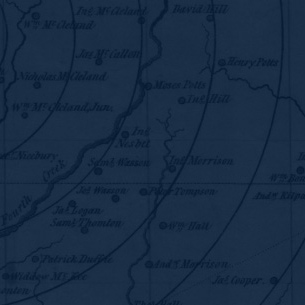
Rudersdorf, Amy. 2010. "NC County Maps." Government & Heritage Library, Library of North Carolina.
Powell, William S. "Caswell County." NCpedia. Library of NC. November 2022.
CASWELL COUNTY GOVERNMENT:
https://www.caswellcountync.gov/
COUNTY SEAT: Yanceyville
FORMED: 1777
FORMED FROM: Orange
LAND AREA: 424.92 square miles
2020 POPULATION ESTIMATE: 22,736
White: 64.5%
Black/African American: 32.3%
American Indian: 0.8%
Asian: 0.6%
Pacific Islander: <0.1%
Two or more races: 1.8%
Hispanic/Latino: 4.6% (of any race)
From State & County QuickFacts, US Census Bureau, 2020.
CONGRESSIONAL DISTRICT: 6TH
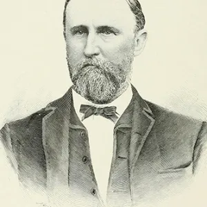
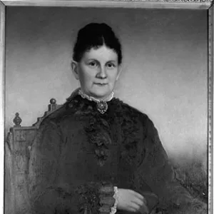
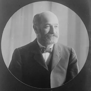
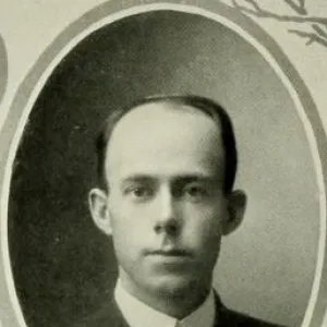
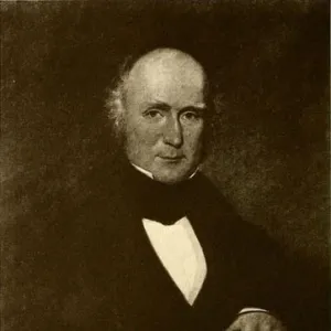
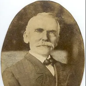
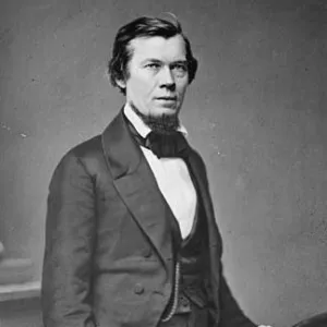
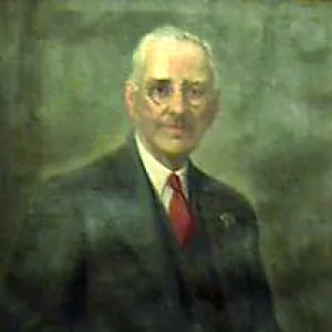
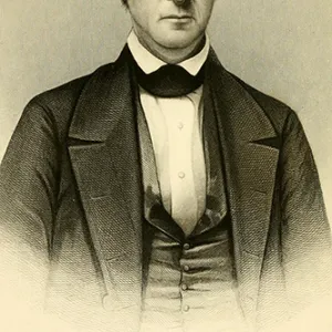
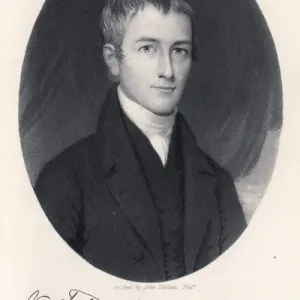
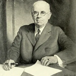
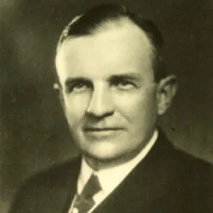
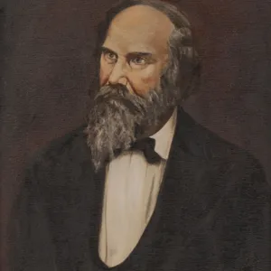
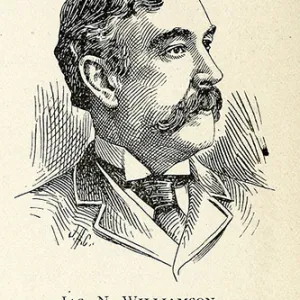
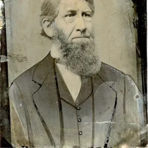
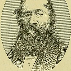
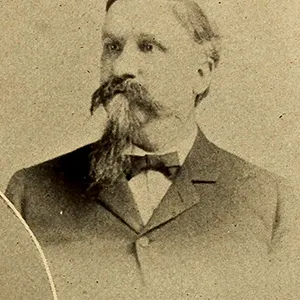
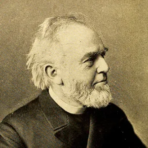
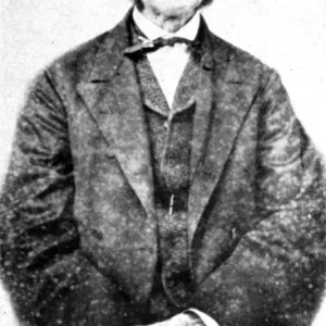
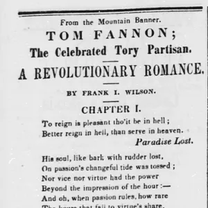
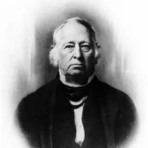
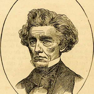
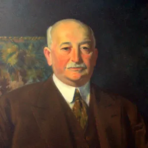
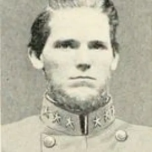
BIOGRAPHIES FOR![]()
Caswell County
 WILDLIFE PROFILES FOR
Piedmont region
GEOGRAPHIC INFORMATION
REGION: Piedmont
RIVER BASIN: Cape Fear, Roanoke, Map
NEIGHBORING COUNTIES: Alamance, Orange, Person, Rockingham