Alamance County Resources
- View All:
- Biographies
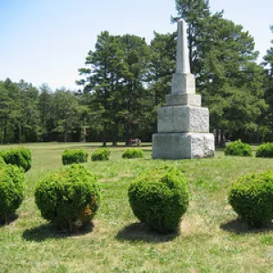
- Monuments
- locations
ANCHOR (A North Carolina History Online Resource) is now its own website!
NCpedia will be unavailable for about 1 hour starting at 4 pm this Friday, July 31. We apologize for any inconvenience.
Copyright Notice: This article is from the Encyclopedia of North Carolina edited by William S. Powell. Copyright © 2006 by the University of North Carolina Press. Used by permission of the publisher. For personal use and not for further distribution. Please submit permission requests for other use directly to the publisher.

Alamance County, located in the Piedmont region of north central North Carolina, was formed in 1849 out of Orange County. The county was named for either the Great Alamance Creek or the Battle of Alamance (16 May 1771), the decisive battle in the War of the Regulation. Early inhabitants of the area included the Saxapahaw and Sissipahaw Indians, followed by English, Scotch-Irish, German, Welsh, and Pennsylvania Quaker settlers. Graham, the county seat, was incorporated in 1851 and named for William A. Graham, a former North Carolina governor. Other important communities in Alamance County include Burlington, Green Level, Haw River, and Mebane. Elon College (now Elon University) was established in the county in 1889.
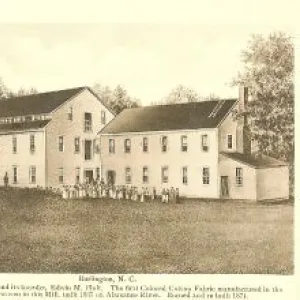
Beginning in 1837, when Edwin M. Holt opened the first large-scale textile mill in the county and began producing the widely popular Alamance Plaids, the textile industry has been a principal part of the Alamance County economy. Burlington Industries, founded in 1923 by J. Spencer Love, dominated the textile industry for much of the twentieth century. Other important manufactured goods have included furniture, biomedical products, chemicals, foundry products, and building supplies. Burlington, with its numerous outlet stores, draws shoppers from a wide surrounding area. Alamance County also produces a variety of agricultural goods, such as tobacco, poultry, eggs, vegetables, soybeans, beef cattle, and hogs. Notable physical features of the county include the Haw River, Stony Creek Mountain, the Stony Creek Reservoir, and Great Alamance Creek.
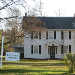
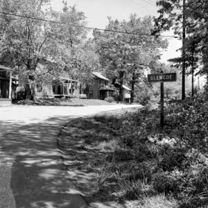
Alamance County is home to many landmarks and historic sites, such as Glencoe Mill Village Historic District, a nineteenth-century cotton mill village; the Southern Railway Passenger Depot; and the Burlington Historic District, which features examples of early North Carolina architecture. The outdoor drama The Sword of Peace, based on the activities of local Quakers during the Revolution, is produced in Snow Camp during the summer. Cultural institutions include the Alamance Battleground Museum, the Gallery Players, the Burlington Artists League, the McDade Wildlife Museum, and Cedarock Historic Farm. July Fourth in Snow Camp is one of the county's largest festivals. In 2004 Alamance County had an estimated population of slightly more than 137,000.
For an annotated history of the county's formation, with the laws affecting the county, boundary lines and changes, and other origin information, visit these references in The Formation of the North Carolina Counties (Corbitt, 2000), available online at North Carolina Digital Collections (note, there may be additional items of interest for the county not listed here):
County formation history: https://digital.ncdcr.gov/Documents/Detail/the-formation-of-the-north-carolina-counties-1663-1943/3692099?item=4553264
Index entry for the county: https://digital.ncdcr.gov/Documents/Detail/the-formation-of-the-north-carolina-counties-1663-1943/3692099?item=4553577
Reference:
Elinor Samons Euliss, ed., Alamance County: The Legacy of Its People and Places (1984).
Additional resources:
Corbitt, David Leroy. 2000. The formation of the North Carolina counties, 1663-1943. https://digital.ncdcr.gov/Documents/Detail/the-formation-of-the-north-ca... (accessed June 20, 2017).
Alamance County Government: https://www.alamance-nc.com/
Alamance County Chamber of Commerce: https://www.alamancechamber.com/
DigitalNC, Alamance County: https://www.digitalnc.org/counties/alamance-county
North Carolina Digital Collections (explore by place, time period, format): https://digital.ncdcr.gov
Image credits:
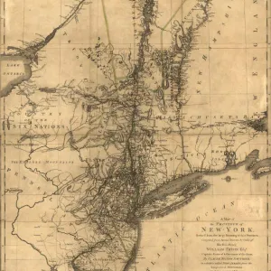
Rudersdorf, Amy. 2010. "NC County Maps." Government & Heritage Library, Library of North Carolina.
Mazzocchi, Jay. "Alamance County." NCpedia. Library of NC. 2006.

ALAMANCE COUNTY GOVERNMENT:
www.alamance-nc.com
COUNTY SEAT: Graham
FORMED: 1849
FORMED FROM: Orange
LAND AREA: 423.94 square miles
2020 POPULATION ESTIMATE: 171,415
White: 73.6%
Black/African American: 20.9%
American Indian: 1.5%
Asian: 1.7%
Pacific Islander: 0.1%
Two or more races: 2.3%
Hispanic/Latino: 13.1%
From State & County QuickFacts, US Census Bureau, 2020.
CONGRESSIONAL DISTRICT: 6TH
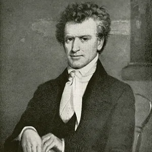
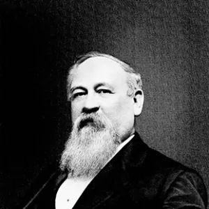
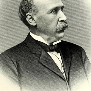
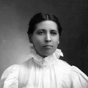
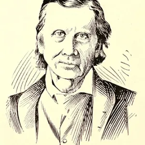
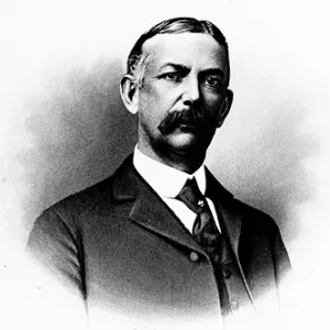
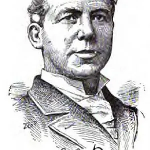
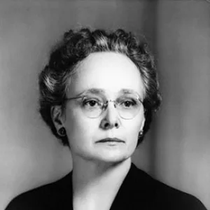
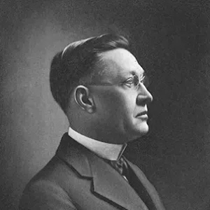
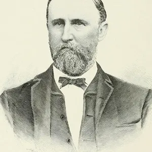
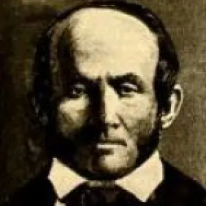
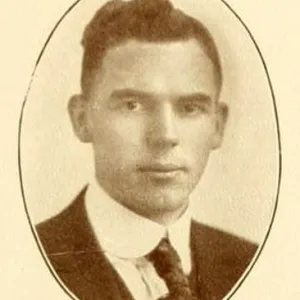
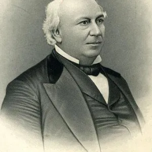
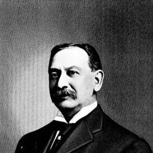
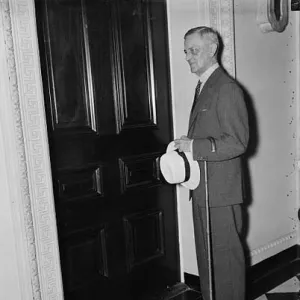
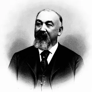
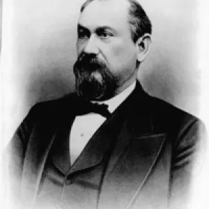
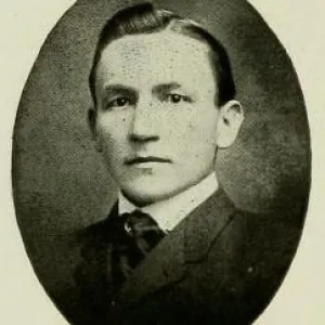
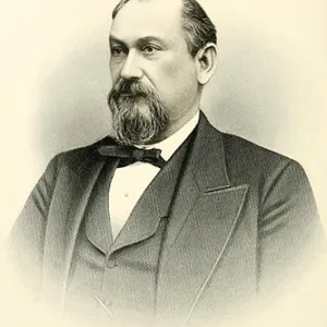
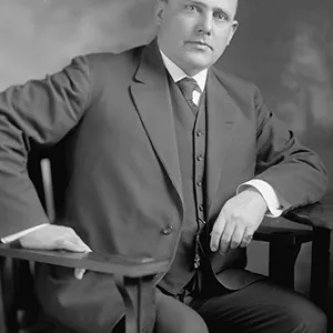
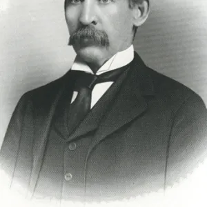
BIOGRAPHIES FOR
![]() Alamance County
Alamance County
 WILDLIFE PROFILES FOR
Piedmont region
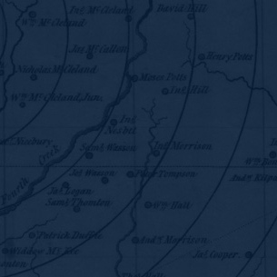
GEOGRAPHIC INFORMATION
REGION: Piedmont
RIVER BASIN: Cape Fear, Map
NEIGHBORING COUNTIES: Caswell, Chatham, Guilford, Orange, Randolph