New Hanover County Resources
- View All:
- Biographies
- Monuments
- locations
ANCHOR (A North Carolina History Online Resource) is now its own website!
Copyright Notice: This article is from the Encyclopedia of North Carolina edited by William S. Powell. Copyright © 2006 by the University of North Carolina Press. Used by permission of the publisher. For personal use and not for further distribution. Please submit permission requests for other use directly to the publisher.
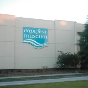
See also: Azalea Festival; Cape Fear Museum; Fort Fisher; North Carolina, USS; Wilmington; Wilmington Coup of 1898
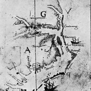
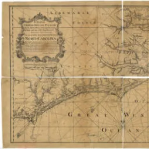
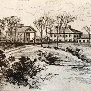
New Hanover County, located in the Coastal Plain region of southeastern North Carolina, was formed in 1729 from Craven County and named in honor of England's King George I of the House of Hanover. Original inhabitants of the area included the Cape Fear, Waccamaw, and other Siouan Indians, followed by English, Welsh, Irish, French Huguenot, and Highland Scot settlers. Wilmington, the county seat, was originally called New Carthage; it was incorporated in 1739-40 and named for Spencer Compton, earl of Wilmington.
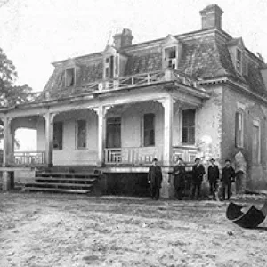
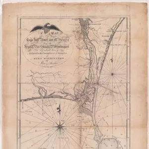
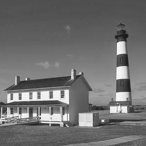
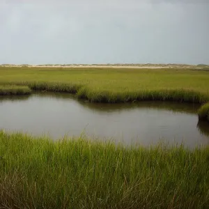
New Hanover County is located in a primarily maritime region, bordered by the Atlantic Ocean to the east and the Cape Fear River to the west. The county benefits from a thriving tourist industry based in some of North Carolina's most popular beach towns, including Carolina Beach, Wrightsville Beach, and Kure Beach. The Fort Fisher State Historic Site, an important Civil War fort, is situated at the southernmost tip of the county, near the mouth of the Cape Fear River. The North Carolina Aquarium at Fort Fisher is also located nearby.
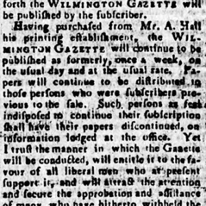
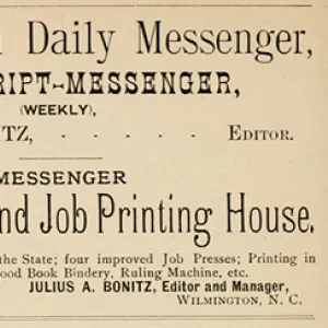
Wilmington is the ninth-largest city in the state and has many important businesses and institutions. The Wilmington Coup (November 10, 1898), in which white supremacist violence led to the overthrow of the city government, constituted a dark chapter in North Carolina history. The completion of I-40 to Wilmington in the early 1990s greatly boosted the local economy. Wilmington since the 1980s has hosted a film and television studio and for a time was considered the "Hollywood of the East." The city is the berthing place of the USS North Carolina Battleship Memorial. Other communities in New Hanover County include Castle Hayne and Seabreeze.
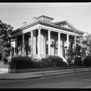
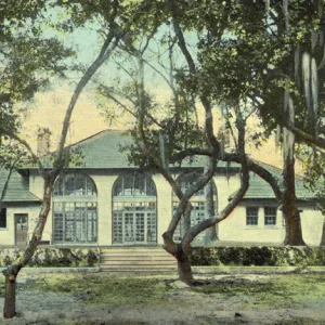
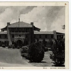
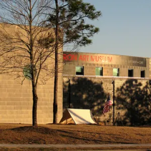
New Hanover County cultural institutions include the Cape Fear Museum, the Wilmington Children's Museum, Thalian Hall, the Wrightsville Beach Museum of History, and Cape Fear Shakespeare. Annual events held in the county include the popular North Carolina Azalea Festival, the Cape Fear Marlin Tournament in Wrightsville Beach, the Festival of Trees, Old Wilmington by Candlelight, and Countdown on Cape Fear.
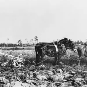
New Hanover County agricultural products include nursery and horticultural plants, flowers, fruits, and vegetables. Manufactured products include optical fibers, nuclear fuel components, chemicals, molded plastic parts, nails, fabricated and stock steel, and computer software. In 2004 New Hanover County had an estimated population of 174,300.
For an annotated history of the county's formation, with the laws affecting the county, boundary lines and changes, and other origin information, visit these references in The Formation of the North Carolina Counties (Corbitt, 2000), available online at North Carolina Digital Collections (note, there may be additional items of interest for the county not listed here):
County formation history: https://digital.ncdcr.gov/Documents/Detail/the-formation-of-the-north-ca...
Index entry for the county: https://digital.ncdcr.gov/Documents/Detail/the-formation-of-the-north-ca...
References:
Lawrence Lee, A Brief History of New Hanover County, North Carolina (1971).
Beverly and Glenn Tetterton, North Carolina County Fact Book (2 vols., 1998).
Additional resources:
Corbitt, David Leroy. 2000. The formation of the North Carolina counties, 1663-1943. https://digital.ncdcr.gov/Documents/Detail/the-formation-of-the-north-carolina-counties-1663-1943/3692099?item=4553233 (accessed June 20, 2017).
New Hanover County Government: https://www.nhcgov.com/
Wilmington Chamber of Commerce: https://www.wilmingtonchamber.org/
DigitalNC, New Hanover County: https://www.digitalnc.org/counties/new-hanover-county/
North Carolina Digital Collections (explore by place, time period, format): https://digital.ncdcr.gov
Image credits:
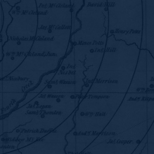
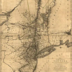
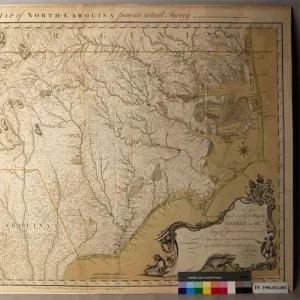
Rudersdorf, Amy. 2010. "NC County Maps." Government & Heritage Library, Library of North Carolina.
Mazzocchi, Jay. "New Hanover County." NCpedia. Library of NC. 2006.
NEW HANOVER COUNTY GOVERNMENT:
http://www.nhcgov.com
COUNTY SEAT: Wilmington
FORMED: 1729
FORMED FROM: Craven
LAND AREA: 191.53 square miles
2020 POPULATION ESTIMATE: 225,702
White: 82.2%
Black/African American: 13.4%
American Indian: 0.6%
Asian: 1.6%
Pacific Islander: 0.1%
Two or more races: 2.1%
Hispanic/Latino: 5.8% (of any race)
From State & County QuickFacts, US Census Bureau, 2020.
CONGRESSIONAL DISTRICT: 7TH
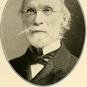
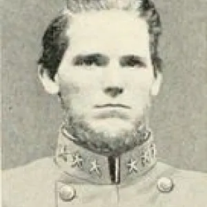
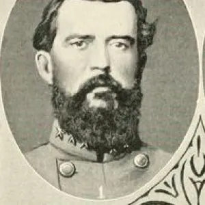
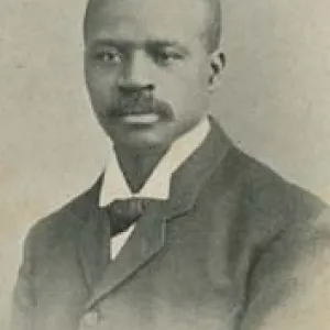
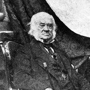
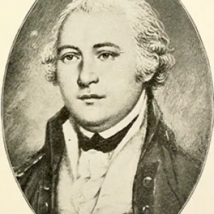
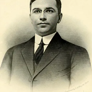
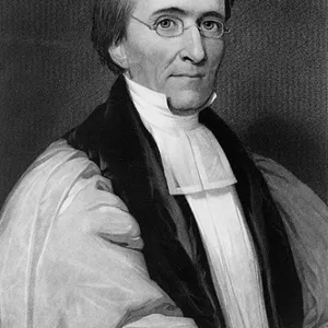
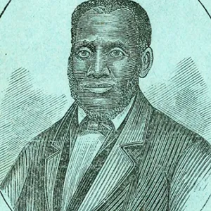
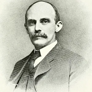
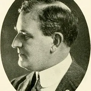
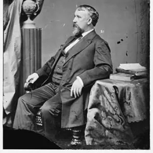
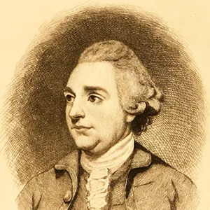
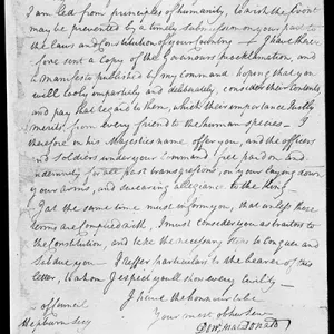
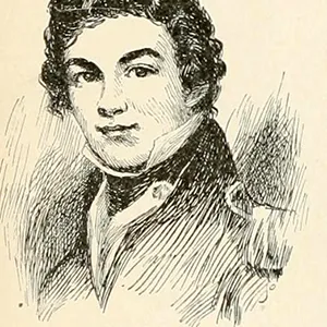
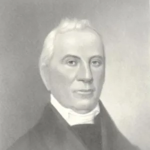
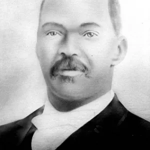
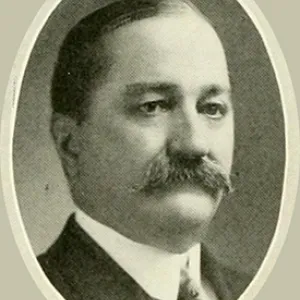
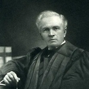
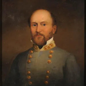
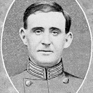
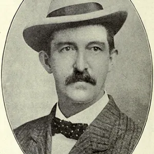
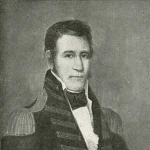
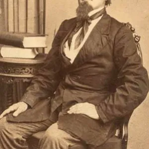
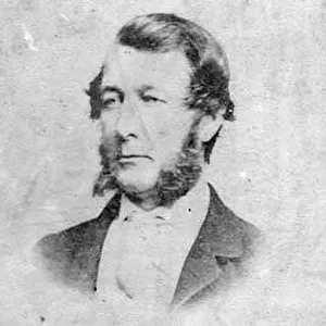
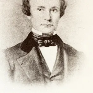
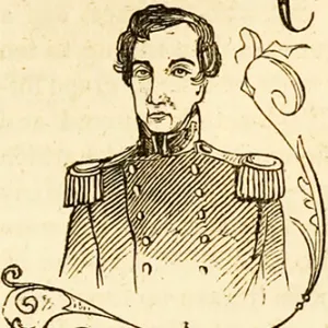
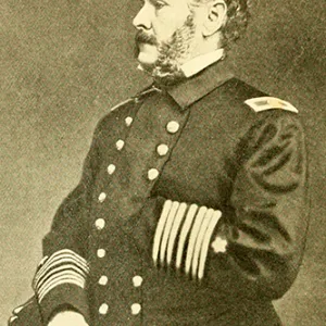
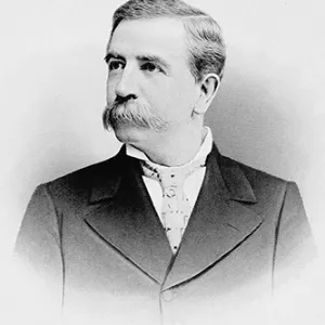
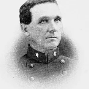
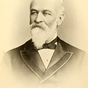
BIOGRAPHIES FOR![]()
New Hanover County
 WILDLIFE PROFILES FOR
Coastal Plain
GEOGRAPHIC INFORMATION
REGION: Coastal Plain
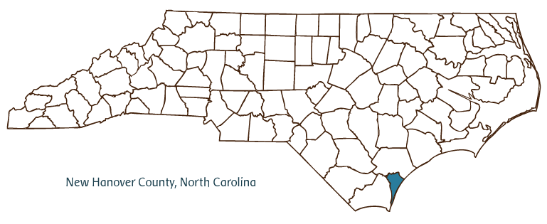
RIVER BASIN: Cape Fear, Map
NEIGHBORING COUNTIES: Brunswick, Pender